.jpg)
Touros
Follow the Brazilian coastline east long enough and eventually it runs out of east. At Touros, in Rio Grande do Norte, the shoreline makes a decisive right-angle turn - from its long northern arc into the hard southward plunge toward Recife and Salvador. Locals call this corner the Esquina do Continente, the Corner of the Continent, and the name is almost literal. Stand on the beach here and Africa is closer than Rio de Janeiro. The nearest speck of land across the Atlantic is Kabrousse, in Senegal, about 2,841 kilometres away.
The Corner of a Continent
Geography gave Touros something most towns never get: a memorable shape on the map. The Cape of São Roque juts northeast into the Atlantic like the heel of a boot, and Touros sits at the point where that heel meets the floor. Cartographers have noticed for centuries. The coast bends so sharply here that early Portuguese navigators used it as their orientation point for everything that followed - the first sight of the new land, the place where the compass finally stopped pointing east and began pointing south. The name Touros, literally 'bulls,' supposedly comes from cattle once driven to graze on the salt-hardy grasses along these headlands. Whether the story is history or folklore, the name stuck, and the bulls appear on the town seal.
The Lighthouse on the Heel
Rising 62 metres above the dunes at Ponta do Calcanhar - the 'Point of the Heel' - stands the Farol do Calcanhar, the tallest lighthouse in Brazil. The first structure on this site dates to 1912; the current concrete tower was first lit in 1943, replacing two earlier versions. Its tower holds 277 spiral steps up to an observation platform, then a 21-step ladder to the light itself. Ships rounding South America's northeastern corner have lined up on its beam for more than a century. Brazilian mariners know this stretch as the place where the Southern Hemisphere begins its long work of sweeping navigators toward Cape Horn. The lighthouse marks that turning point precisely, a white pillar visible for miles against the green cane fields inland and the ocean's hard blue line offshore.
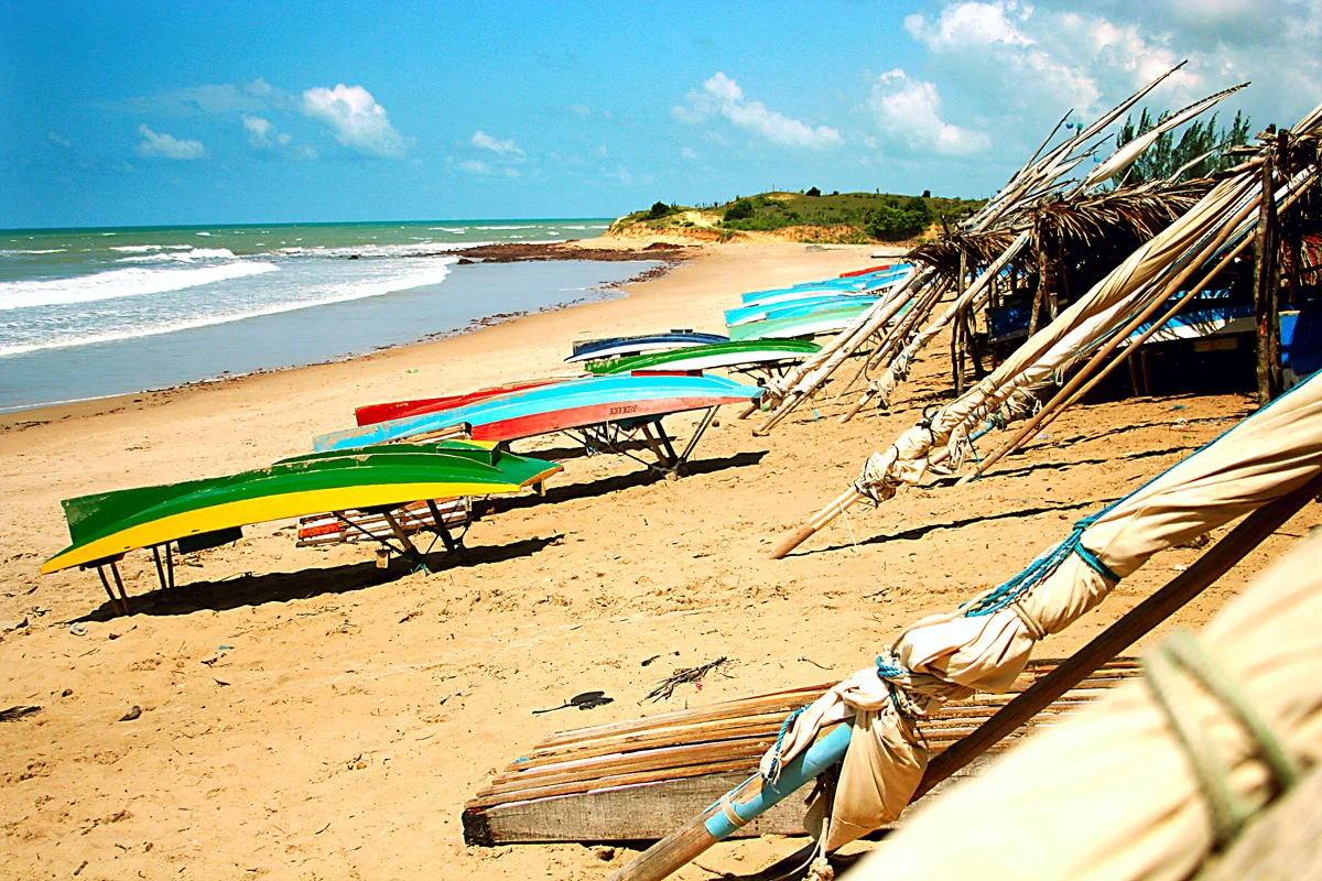
Settlement on Fertile Ground
The modern town was shaped by weather, specifically by its absence. In the 1790s, a severe drought pushed families from the drier interior of Rio Grande do Norte toward the coast, where reliable rainfall and fertile soil promised something the sertão could no longer offer. Touros became a district in 1823, a parish in 1832, a town in 1833, and a full municipality on March 27, 1835. Its original territory was enormous - nearly 180 kilometres of coastline - and over the next century it shed pieces as new towns carved themselves out of it: Maxaranguape, then Pureza in 1962, then São Miguel do Gostoso, once called São Miguel de Touros. What remains is still largely agricultural, braided with small fishing villages and a scatter of twenty-seven named districts with names that read like a litany of rural Brazil: Cajueiro, Carnaubal, Santa Luzia, Zabelê.
Reef, Fish, and a Snail Named for the Town
Offshore, a natural seawater basin formed by coral banks creates one of the richest fishing grounds along this coast. The warm, clear water over the reef supports an unusual density of marine life - mollusks, reef fish, and species that ichthyologists are still finding. In March 2018, researchers formally described a new cone snail from the Atlantic waters east of the town, naming it Conus tourosensis in its honor. It is a small distinction, but a real one: a species that exists nowhere else, discovered off the beach of a Brazilian town most travelers have never heard of. Above the water, the same steady trade winds that once pushed Portuguese caravels now turn rows of wind turbines. Projects around Touros are part of the transformation that has made Rio Grande do Norte the country's leading wind-power state.
Where the Highway Ends
The BR-101 is the second-longest highway in Brazil, a ribbon of asphalt that runs nearly 4,800 kilometres from the far south at the Uruguayan border all the way up to its northern terminus - which happens to be Touros. Every kilometre post on that road counts down toward this corner. For a small town of fishermen and farmers, it is a peculiar honor: every journey on Brazil's great coastal highway either begins or ends here, at the heel of the continent, within sight of the lighthouse and the coral banks and the Atlantic horizon that, somewhere far beyond the edge, bends back toward Africa.
From the Air
Touros sits at 5.20°S, 35.46°W, on Brazil's northeastern promontory. The Farol do Calcanhar at 62 metres is a useful visual landmark and sits right at the coastal corner. Natal's Aluízio Alves International Airport (SBSG / NAT), about 80 km to the south, is the principal airfield. Coastal Nordeste weather is warm and generally clear year-round, with reliable easterly trade winds - the same winds driving the region's growing wind farms. Cruising altitude provides a clear view of the coast's dramatic right-angle turn.
Nearby Stories
- 1986 João Câmara earthquake 25 km away
- Açu, Rio Grande do Norte 117 km away
- Atol das Rocas Biological Reserve 161 km away
- Açu National Forest 179 km away
- Rocas Atoll 184 km away
- Canoa Quebrada 208 km away
- Prainha do Canto Verde Extractive Reserve 299 km away
- Republic of Cabinda 5200 km away