Açu, Rio Grande do Norte
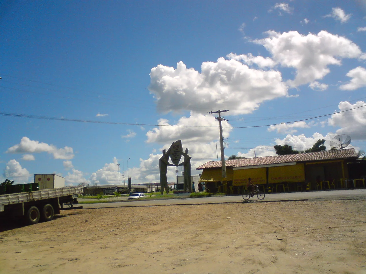
The heat in Açu shimmers off the carnauba palms in long waves, blurring the edge of town until the whitewashed houses seem to float. This is the sertão - the backlands of Brazil's northeast - where rainfall is rare enough to be remembered by the month it fell. Açu sits in the Vale do Açu, a river valley that cuts a green seam through one of the driest parts of the country, 190 kilometers inland from Natal on a landscape that wavers between baked earth and irrigated orchard. Around 56,000 people live here, the ninth-largest town in a state that can feel like a long, sunlit journey.
River Against the Drought
Everything in Açu bends toward water. The Piranhas-Açu River runs through the municipality, and upstream, the Armando Ribeiro Gonçalves Dam - the largest reservoir in Rio Grande do Norte - catches what the sky will not give. When full, it supplies irrigation that turns patches of the valley impossibly green: mango orchards stretching toward the horizon, banana groves along the access roads, melon fields that export fruit to Europe. When low, the reservoir's exposed bed becomes a ghostly plain of cracked silt, and old drowned villages briefly resurface. The Vale do Açu produces some of Brazil's most prized mangoes, fruit that thrives precisely because the sun here is relentless and the irrigated water is rationed.
Salt, Wax, and Petroleum
Three industries have shaped Açu and the towns around it, and all three depend on the particular geology of the coast. Offshore and underground, the Potiguar Basin holds oil - Rio Grande do Norte is one of Brazil's significant onshore petroleum producers, and pumpjacks dot the flatlands around neighboring municipalities. The coast farther downstream holds vast salt flats, sunlit evaporation pans that make Rio Grande do Norte the largest salt producer in Brazil. And the carnauba palm, that thorny fan of a tree native to the northeastern backlands, yields a wax once so valuable it was called green gold. The wax still coats candies, polishes cars, and shines the floors of luxury hotels. Walking through the sertão, you can still see workers cutting fronds with long-handled knives, bundling them to dry in the sun.
A Pocket of Forest
Just outside town, the Açu National Forest guards 218 hectares of what this landscape once was - a 'caatinga' ecosystem of thorny shrubs, bromeliads clinging to rock, twisted trees that drop their leaves to survive the dry season. The forest was established as a park in 1950, one of the country's early attempts to preserve a biome that most of the world does not know exists. Caatinga means 'white forest' in Tupi, named for the bleached, leafless look the plants take on during the long drought. When the rains finally come, usually between February and May, the whole landscape turns sudden green, wildflowers explode overnight, and cicadas begin to sing. The effect is a resurrection staged in fast-forward.
A Name and Its Origins
The spelling 'Açu' or 'Assu' reflects the word's Tupi-Guarani origins - in the indigenous language that named so much of this coast, the root means 'big,' and it's a common suffix in Brazilian place names. Before Portuguese colonizers arrived, the Tarairiú and Janduí peoples lived along these rivers, following the rhythms of wet and dry seasons that sometimes failed altogether. Their descendants and those of the enslaved Africans brought to colonial sugar and cotton estates still live in and around the Vale do Açu today, and the regional culture - the forró music, the leather hats of the vaqueiros, the heavy accents of the spoken Portuguese - carries traces of all three. The town's small church square fills on feast days, and somewhere a sanfona accordion starts up in the late afternoon, as it has for generations.
Life at Forty-Three Degrees
Summer temperatures in Açu regularly pass forty Celsius. The human day shifts around that heat: shutters close by mid-morning, business pauses through the long afternoon, and the town comes back to life only as the sun softens toward the west. Children swim in irrigation channels. Old men sit outside under the deep shade of mango trees, arguing about rainfall, cattle prices, and whether the reservoir will hold through another summer. The HDI here is medium - there is poverty, as there is across much of the sertão - but there is also pride, a regional identity that has survived centuries of drought and the harder cruelties of slavery and land concentration. Açu is not a picturesque town. It is a working one, stubborn and sunbaked, doing what the backlands have always done: waiting for the next rain.
From the Air
Located at 5.58°S, 36.91°W at an elevation of about 27 meters, Açu sits in the semi-arid interior of Rio Grande do Norte. Cruising altitude offers views of the Vale do Açu and the reflective surface of the Armando Ribeiro Gonçalves Reservoir to the south-southwest. The nearest major airport is Natal's Aluízio Alves International (SBSG), about 190 kilometers east. Mossoró's Dix-Sept Rosado Airport (SBMS) lies closer, roughly 100 kilometers northwest. Skies are typically clear outside the February-May rainy season; dust haze from the surrounding caatinga can reduce horizontal visibility in the dry months.
Nearby Stories
- Mossoró 13 km away
- 1986 João Câmara earthquake 37 km away
- Touros 84 km away
- Furna Feia National Park 89 km away
- SS Annibal Benévolo 654 km away
- SS Baependy 671 km away
- German submarine U-161 (1941) 748 km away