Tun Sakaran Marine Park
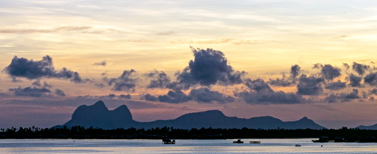
From the air, the islands of Tun Sakaran Marine Park look scattered across the Celebes Sea like pieces of a broken emerald. Eight of them, some forested, some barely more than sandbars, ringed by reefs that shift from turquoise to deep cobalt where the shallows drop away. Roughly 2,000 people live within this 350-square-kilometer park, most of them Bajau Laut, the people outsiders once called Sea Gypsies. Their stilt houses stand in the shallows, and their houseboats drift between the islands. A marine park, by definition, draws boundaries around a place. The Bajau Laut have lived here without boundaries for as long as anyone can remember.
Eight Islands, One Park
The park encompasses the islands of Bodgaya, Boheydulang, Sebangkat, and Salakan, the sand cays of Maiga, Sibuan, and Mantabuan, and the patch reefs of Church and Kapikan. Each island has its own character. Boheydulang, with its steep volcanic ridge, was originally gazetted as a bird sanctuary. Bodgaya was designated a forest reserve as early as 1933. The sand cays are barely above the waterline, their beaches shifting with the tides, their shores important nesting grounds for sea turtles. Only Sebangkat has a legal owner and grant holder since the park's gazetting in 2004. The rest belong to the state, which is to say they belong to the reefs and the people who have always lived among them.
Decades in the Making
Conservation here started early but moved slowly. Bodgaya's forest reserve status dates to 1933, and proposals for a full state park were first floated in 1977. It took another two decades before serious collaboration began. In 1998, the Semporna Islands Project brought together the Marine Conservation Society, Sabah Parks, WWF Malaysia, and Nature Link, with funding from the European Community. The project studied the islands' ecology, documented their biodiversity, and built the case for formal protection. Finally, in 2004, the islands were gazetted as Sabah's seventh state park. The park's name honors Sakaran Dandai, the eighth Yang di-Pertua Negeri of Sabah, a recognition of both political legacy and the local community's ties to these waters.
The People Between the Reefs
The Bajau Laut who live within the park present a challenge that no conservation framework has fully resolved. These are among the last maritime nomads in Southeast Asia, a people whose traditional life was spent entirely on the water, moving between fishing grounds, trading posts, and seasonal camps. Many have settled into stilt villages, but their economy and identity remain tied to the sea. Park regulations must balance reef protection against the livelihoods of people who were fishing these waters centuries before anyone drew a park boundary. It is a negotiation without a clear endpoint, conducted daily in the gap between conservation science and the practical needs of families who know these reefs better than any survey team.
A Living Laboratory
The waters of Tun Sakaran sit within the Coral Triangle, the global epicenter of marine biodiversity. Surveys have found extraordinary species richness here, with fish counts rivaling the highest recorded anywhere in the Philippines or Indonesia. The park's reefs support over 500 species of coral, and its waters teem with everything from pygmy seahorses to reef sharks. For marine biologists, the park is a living laboratory. For divers, it is a destination that can absorb weeks of exploration without repetition. For the Bajau Laut, it is simply home, as it has been for generations before the scientists arrived with their transect lines and species lists.
From the Air
Located at approximately 4.60N, 118.70E off the southeast coast of Sabah. The island cluster is clearly visible from altitude, with Bodgaya and Boheydulang as the largest landmasses and the sand cays appearing as white crescents against the reef. Nearest airport is Tawau Airport (WBKW), approximately 80 km to the south. Semporna, the gateway town, is visible on the mainland coast. Best viewed at 5,000-10,000 feet to see the full extent of the reef system and island arrangement.
Nearby Stories
- Malaysia Airlines Flight 2133 11 km away
- USS S-36 15 km away
- Kapalai 20 km away
- Menara (tree) 29 km away
- Tawau 48 km away
- Sheikh Karimul Makhdum Mosque 79 km away
- Tawi-Tawi 105 km away
- Indonesia-Malaysia Border 139 km away