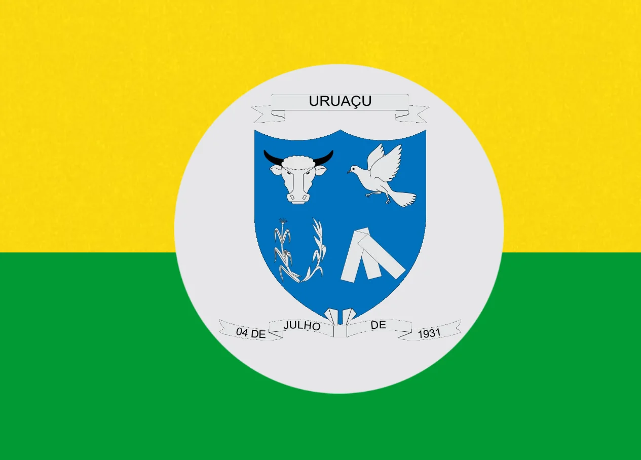
Uruaçu
The name is Tupi-Guaraní for large bird. Somewhere before the town took the name Uruaçu in 1943, the muleteers and merchants who followed the route down from the south called this place something else - the Passa Três ranch, then the settlement of Sant'Ana after the chapel Coronel Gaspar helped build in 1913. When the federal government decided in the early 1940s that Brazilian towns should shed their colonial-era Catholic names for indigenous ones, Sant'Ana became Uruaçu. The large bird the name commemorates has not been precisely identified in any record the town keeps. What is clear is that the name arrived by decree and that the place has carried it ever since.
A Town on the Long Road
Uruaçu sits on the BR-153, the Belém-Brasília highway - the interstate corridor that ties the capital to the mouth of the Amazon 2,000 kilometers to the north. The distance from Uruaçu south to Goiânia is 269 kilometers. The distance south to Brasília is 244. Trucks haul soybeans, cattle, and fuel through town every hour of every day. The position matters. In the colonial and imperial periods, the route from the south cattle country to the gold-mining districts of northern Goiás passed near here, and muleteers stopped at the Passa Três ranch that the Fernandes family bought in 1910. The town has always been a place where travelers pause, not usually where they stay.
Between Two Waters
The Serra Dourada - the Golden Mountains - rise along Uruaçu's western boundary. The Passa Três river springs from those slopes and supplies the town with drinking water. On the eastern side of the municipality, the land drops into the Serra da Mesa reservoir, one of Brazil's great hydroelectric lakes, impounding 1,784 square kilometers of the Tocantins river basin behind a dam completed in 1998. The reservoir reaches a maximum depth of 43 meters. From the shore you can see fishing boats working between the drowned hilltops that now rise as islands from the water. The climate is moist tropical - summer afternoons that push toward 38 degrees Celsius, dry-season mornings that fall to 18.
The Slow Losses of Administrative History
Uruaçu was once the administrative center for a much larger area of northern Goiás. In 1948 it lost the district of Porangatu, which became its own municipality and is now the dominant town of the region. In 1953 it lost Amaro Leite, which was later renamed Mara Rosa. Each split trimmed Uruaçu's tax base and its civic weight. The town's population has declined by about 1,000 people since 1980, a slow attrition rather than a crisis. By the 2010 census the urban population stood at 36,929 with another 3,070 people in the countryside. Cattle ranching and soybean farming dominate the agricultural economy - 104,000 head of cattle, 9,500 hectares of soy, 88,380 hectares of natural pasture. The town is a place the statistics describe efficiently and without drama.
The University Branch and the Schools
The State University of Goiás maintains a branch in Uruaçu - the Faculdade de Educação, Ciências e Letras - training teachers, humanists, and scientists for the interior. In a town of thirty-something thousand, the campus matters out of proportion to its size. The 46 schools of the public system educated 10,693 students as of 2006. The adult literacy rate sits at 85.7 percent, close to the Brazilian national average of 86.4 at the same count. Two hospitals with 113 beds serve the population. These are not the numbers of a prosperous city, but they are not the numbers of a place that has given up on itself either. The human development index of 0.738 put Uruaçu in the middle of Brazilian municipalities - neither failing nor flourishing, simply holding its ground in the interior.
The Bird That Named a Place
There is no statue of the large bird in the town center. No local museum claims to know exactly which species the Tupi speakers had in mind when they left the word behind. In the cerrado that surrounds Uruaçu - the tropical savanna that covers a quarter of Brazil - the candidates are many: the rhea, the giant flightless ratite that still runs across the open grasslands. The king vulture, hovering over the highway. The red-legged seriema, which calls at dawn in a voice that carries for kilometers. When you drive the BR-153 at sunrise, with the Serra Dourada on one side and the reservoir glinting on the other, any of them could have been the bird the namers meant. The town takes its name from something that flew through these hills before Portuguese arrived. It is a reasonable inheritance.
From the Air
Located at 14.53 degrees south, 49.14 degrees west in northern Goiás. The town sits on the BR-153 Belém-Brasília highway. The Serra Dourada rises on the west, the Serra da Mesa reservoir stretches on the east - the reservoir is a dominant landscape feature visible from altitude, running roughly north-south for tens of kilometers. Nearest airport is Brasília International (SBBR) about 280 km south-southeast, or regional airstrips in Porangatu. From cruising altitude, the highway corridor and the reservoir together are unmistakable landmarks.
Nearby Stories
- Niquelândia 6.8 km away
- Mara Rosa 29 km away
- Pilar de Goiás 29 km away
- Ceres, Goiás 60 km away
- Nova Crixás 83 km away
- Minaçu 85 km away
- Jaraguá, Goiás 115 km away
- Contagem Biological Reserve 119 km away