Vaals
Stand on top of the Vaalserberg, 322.4 meters above sea level, and you are at the highest point in the European Netherlands. This is not a high mountain. It would barely register as a hill anywhere else. But this is the Netherlands, and from this modest summit you can take three steps and stand in Belgium, three more and stand in Germany, and stay where you were and remain in the Netherlands. This is the Drielandenpunt, the three-country point. Until 1919 it was a four-country point, because for almost exactly a century there was a strange little neutral territory called Moresnet wedged in here, a place nobody quite owned because no one could agree on who should. Geography is rarely this strange, and almost never this small.
In Vallis
Vaals is first mentioned in documents in 1041, when Emperor Henry III donated the land to the St. Adalbert Abbey. To distinguish this new abbey holding from the nearby city of Aachen, the Latin charter referred to it as in Vallis, in the valley, and the name stuck. It makes Vaals one of the very few Dutch towns with a Latin-derived name. The center of the medieval municipality was not actually Vaals but the smaller settlement of Holset, today a hamlet of about 160 people. Holset is older than its size suggests. Historians believe an Eburon temple stood here some 2,000 years ago, destroyed when Julius Caesar wiped out the Eburones in the Gallic Wars. Around 360 the bishop of Maastricht came up the Roman road to convert the locals to Christianity, though the first church here did not get built for several more centuries. The Roman road in question is still the main road through Vaals. The N281 traces almost exactly the ancient route between Maastricht and Aachen, the surface modernized many times, the line of the road essentially unchanged.
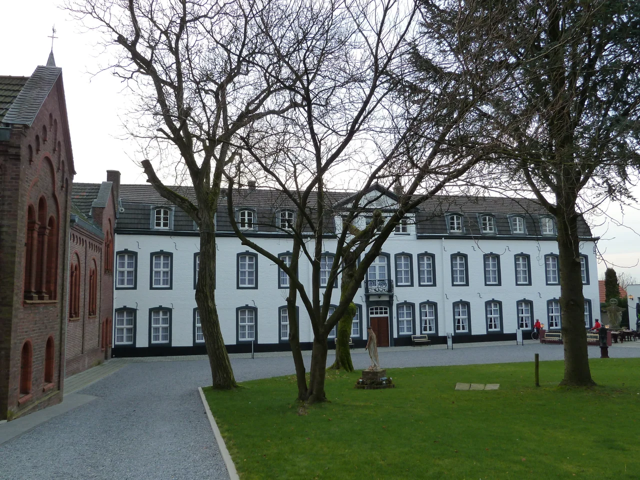
Linen for the Tsar
In 1661 Vaals became part of the Republic of the United Netherlands and began an unlikely industrial boom. Wealthy families moved in, attracted by the location at the border of Prussia and the United Provinces, and the most prominent of them were the Von Clermonts. They came from Aachen in 1761 and built a large linen factory in Vaals with an international clientele: Prussia, Belgium, Austria, Poland, even Russia. In 1717 Tsar Peter the Great visited the Von Clermonts. In 1803 Napoleon Bonaparte and his wife Josephine de Beauharnais stayed at Bloemendal Castle, one of the Von Clermont family's outhouses, which is still standing in town as a hotel. After 1840 the industrial era ended in Vaals. Competition from larger producers and the political closure of the German and Belgian regions to Vaalser goods drove the factories out. The town reinvented itself as a holiday destination for the citizens of Aachen, with casinos that gave it a small-scale reputation as the Monte Carlo of the region. Germans called it Vaalser Paradies. Today, about 26 percent of the town's residents are German.
The Owls of Vaals
When the borders closed before and during World War II, Vaals became isolated. After the war they reopened, commerce picked up, and so did smuggling. Coffee, cigarettes, butter, sugar, anything subject to different prices on different sides of the line. The smugglers who carried goods across the border at night were called De Uilen van Vaals, the Owls of Vaals, because they worked in the dark. The smuggling era is over but the town is still defined by its border position. A bus, an 8-person marshrutka-style van running roughly hourly, climbs the road to the Drielandenpunt. The last departure is well before 18:00, and if too many people show up you may need to hitchhike back down. The summit itself is dressed for visitors with a labyrinth on the German side, viewing platforms looking into three countries, and the practical-mystical attraction of being able to put each foot in a different nation. The previous tram service, an ambitious 1922 extension of the Aachen line, only operated through Vaals for 13 years before being shut down.
Vijlen, the Mountain Village
Up the hill from Vaals lies Vijlen, the second-largest settlement in the municipality, perched on the Vijlenerberg at almost 200 meters above sea level. Vijlen calls itself the only mountain village in the Netherlands, an exaggeration that almost no one disputes because there is no competition. The surrounding Vijlener forest holds burial mounds from the Linear Pottery culture, 5500 to 4500 BCE, the earliest signs of human settlement in the area. One mound is called the children's grave because of teeth found inside. The Romans appear to have plundered the mounds long before twentieth-century archaeologists got to them, leaving pottery shards behind. The name Vijlen itself is probably Latin in origin, derived from villa or villare, a farm villa. Briefly, around 1877 to the 1920s, two cement factories operated here, exploiting the local limestone, but the remote location far from any railway eventually killed them. The tunnels they dug under the Vijlenerberg are still down there, two meters high, less than two meters wide, connecting old quarries to the old factory sites. The mountain village has more underneath it than most flat ones do.
From the Air
Coordinates 50.7694 N, 6.0181 E in the southeastern tip of the Netherlands, at the Belgian and German borders. Recommended viewing altitude 2,500 to 5,000 ft AGL. The Vaalserberg summit at 322.4 m is the dominant terrain feature, visible as a forested hilltop where three national borders converge. The Aachen urban area lies immediately east. Be aware that mobile phones in the area sometimes register on German networks; air traffic should likewise be alert to entering EDDL Dusseldorf or EBBR Brussels FIR airspace. Nearest airports are Maastricht Aachen (EHBK / MST) about 30 km northwest and Liege (EBLG / LGG) about 45 km southwest.
Nearby Stories
- Heinsberg-Lindern Railway 7.8 km away
- Baptismal font at St Bartholomew's Church, Liège 7.8 km away
- Federal Office for the Protection of the Constitution 16 km away
- Limburg (Belgium) 17 km away
- F.L.Y. 17 km away
- Marcinelle Mining Disaster 84 km away
- Fort Jeanne d'Arc 148 km away
- Marmoutier Abbey 202 km away