
Vergadeika
A grocery truck makes its rounds each morning through the lanes of Vergadeika, bringing bread and oil and news to the elderly residents who cannot easily travel to town. It is a small thing, a mundane logistics solution, but it reveals something essential about this Laconian village on the eastern slope of Mount Taygetos: life here persists through practical acts of community, not grand gestures. The truck winds past stone houses, past the old church of Agios Demetrios dating to the 15th century, past gardens terraced into the hillside where homemade wine is pressed from grapes grown the same way they were grown a century ago. Vergadeika — population around 80 — is the kind of place that Greek cities swallowed people from, and yet somehow continues to exist.
Between the Mountains and the Valley
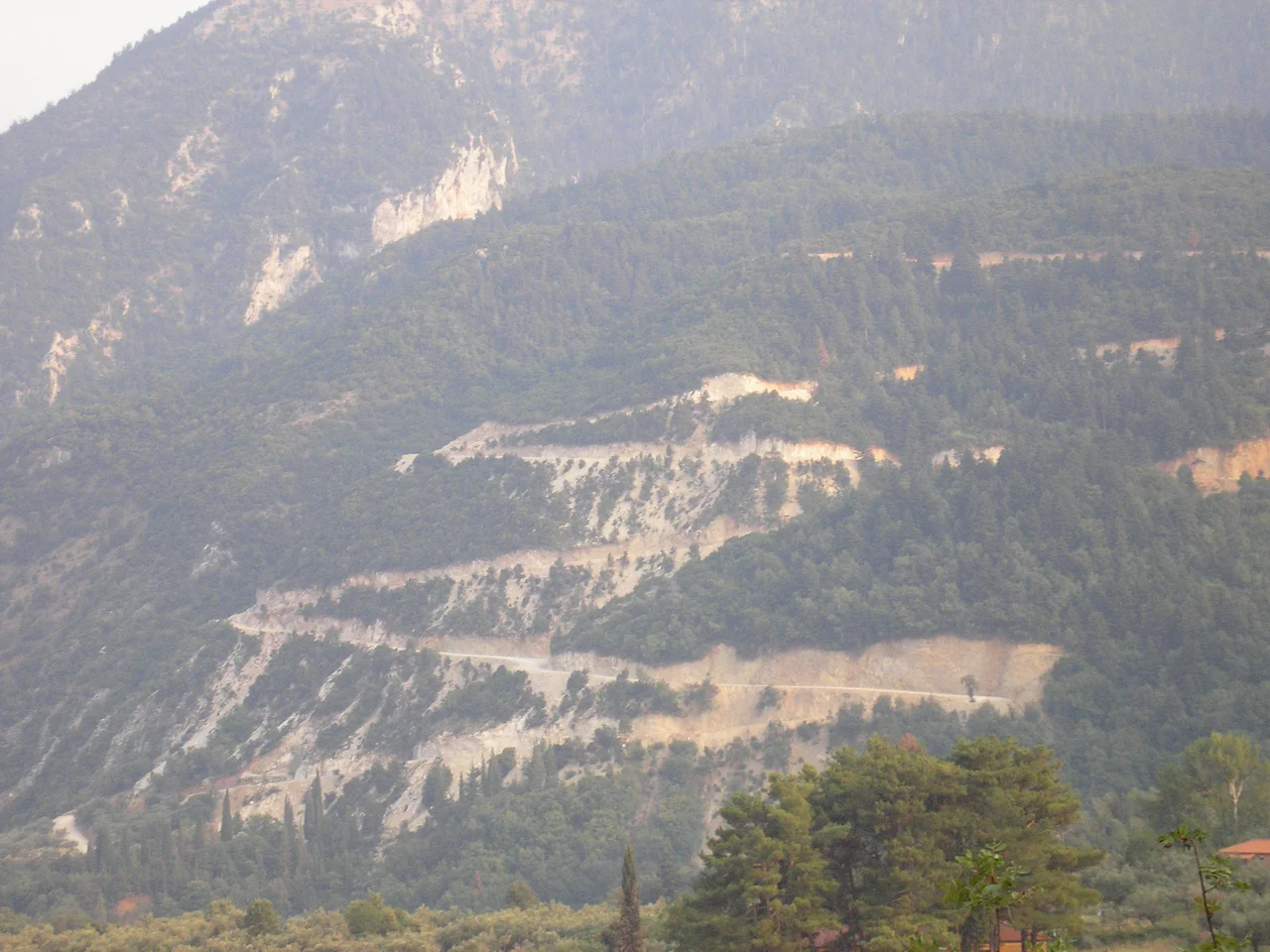
The setting of Vergadeika is one of the great landscape arrangements of the southern Peloponnese. Mount Taygetos rises behind the village — a limestone massif that dominates all of Laconia — while below lies the Evrotas Valley, the broad flat plain named for the river that the ancients associated with Sparta itself. The valley is formed by the convergence of the Taygetos and Parnonas ranges, and it was this strategic corridor that Spartan armies used for centuries when moving through the heartland of the Peloponnese. Today, olive groves fill the valley floor, the silvery leaves turning in the wind much as they did in antiquity. Vergadeika sits just above all of this — near enough to the larger settlement of Longanikos to share administration with it, but distinct enough to have kept its own character. Approaching by road, through the small mountain lanes that branch off the highway at Tripoli, the village appears gradually: a cluster of houses, a church tower, smoke from someone's hearth.
The Long Migration
Vergadeika had many more residents in living memory. The pattern here mirrors a story told across rural Greece: in the decades after World War II, younger generations left for Athens, for Sparta and Megalopoli, and in considerable numbers for the United States. The pull of Boston in particular was strong — the nearby village of Longanikos has its own Greek-American organization, the Loganikos Society, founded in Massachusetts by emigrants who kept the old connections alive. The children and grandchildren of Vergadeika's emigrants return for major holidays and summer weekends, filling houses that stand quiet the rest of the year. The village's elderly population carries the daily life of the place: coffee in the afternoon, gardens in the morning, the occasional gathering in the shade. The population has settled at roughly 80, and those 80 have worked out the rhythms of a smaller, slower existence.
Layers Beneath the Surface
Walk through the village and the centuries accumulate. The church of Agios Demetrios stands in Vergadeika itself — a 15th-century structure built during the late Byzantine period, when the Peloponnese was contested among Greek, Frankish, and Ottoman powers. A short walk away in Longanikos, the churches come faster: Agios Georgios (1375), the Holy Apostles of Agioi Theodoroi (1380), the Assumption of the Virgin Mary (also 15th century), and the church of the Prophet Elias, built in 1810 but decorated with Byzantine artifacts from the 10th and 11th centuries. In the nearby village of Vordonia, the remains of a medieval Frankish fort survive. At Pellana, which gives the broader municipality its name, ruins from the Spartan age still stand. Mystras — the great late-Byzantine fortified city where scholars and artists congregated before the Ottoman conquest — is reachable within an easy drive. The Temple of Apollo Epicurius at Bassae, one of the finest ancient Greek temples in existence, is less than 30 kilometers away.
Names and Origins
The name Vergadeika carries a linguistic history that reflects the complicated ethnic layering of the medieval Peloponnese. Scholars believe that many village names in this part of Laconia, including Vergadeika itself along with neighbors like Longanikos and Pardali, derive from Slavic or Turkish roots — evidence of the migrations and settlements that followed the collapse of classical Greek civilization. A prominent local family, the Arvanitis family, bears a surname derived from the Arvanites, an Albanian-Greek-speaking community that migrated into parts of Greece from northern regions during the medieval period. These layers of names — Greek, Slavic, Turkish, Albanian — underlie a landscape that looks so thoroughly Greek to the arriving traveler. The place is older and more layered than it first appears.
Fire on the Mountain
In August 2007, devastating wildfires swept through southern Greece, killing more than 84 people and burning enormous swaths of landscape across the Peloponnese. Vergadeika and its neighboring villages came under threat. Many residents, particularly older ones, were evacuated as the fires approached. Some refused to go. Those who stayed worked alongside emergency services to fight smaller blazes that had broken out near the village — defending not just houses but orchards and gardens accumulated over generations. The fires ultimately spared Vergadeika, but the memory of that summer lingers. For a community already diminished by emigration, the prospect of losing the physical substance of the village — its trees, its terraces, its stone walls — was existential. The village survived. The morning grocery truck resumed its rounds.
From the Air
Vergadeika sits at approximately 37.22°N, 22.26°E on the eastern flank of the Taygetos massif, at an elevation of roughly 550 meters above sea level. From altitude, look for the long spine of Mount Taygetos running north-south, and the broad flat Evrotas Valley spreading eastward below it. The valley's olive groves are visible as a continuous grey-green carpet in good visibility. The nearest major airport is LGKL (Kalamata International Airport), approximately 58 km to the southwest. Flying at 5,000 feet on a clear day, the transition from the coastal plains near Kalamata to the Taygetos foothills is dramatic — the valley floor rises steeply into limestone ridges that top out above 2,400 meters.
Nearby Stories
- Leonidio 1.4 km away
- Araklovon Castle 5.3 km away
- Battle of Valtetsi 5.3 km away
- Kardamyli 8.7 km away
- Pylos 8.9 km away
- Barony of Gritzena 9.7 km away
- Metamorfosi, Laconia 13 km away
- Arkadiko Bridge 19 km away