
Wallace Island Marine Provincial Park
In late 1944 a young army photographer named David Conover walked into the Radioplane factory in Van Nuys, California, on orders to shoot morale pictures of women working the assembly lines. He photographed an eighteen-year-old named Norma Jeane Dougherty, and the world eventually came to know her as Marilyn Monroe. A few years later, Conover bought a narrow, uninhabited island in British Columbia's Gulf Islands, built a house and a handful of cabins in the trees, and spent the better part of two decades there. That island is Wallace Island, and it is now a provincial park.
The Resort in the Trees
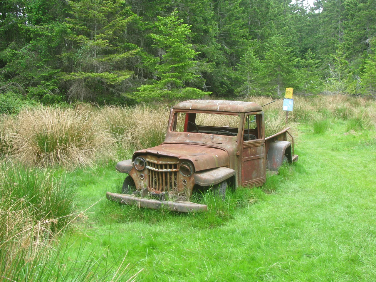
From 1947 into the mid-1960s, Wallace Island operated as a vacation resort - a modest one, a few guest cabins in a forest on an island with no road, no ferry, and no near neighbours. One cabin still stands, intact; the remains of several others are scattered through the second growth, slowly returning to the ground they were built on. Conover wrote about it in Once Upon an Island, published in 1967, and carried the story forward in One Man's Island and Sitting on a Salt Spring. The books are affectionate rather than romantic. Anyone who has tried to keep a wooden building dry on this coast will recognize the running argument between the man and the weather that runs through all three. That the man who took one of the most consequential snapshots in Hollywood history chose to spend his forties on a treed rock in Trincomali Channel says something about what this coast does to people who visit it once.
The Ship That Named the Reef
At the southern end of the island, Panther Point pushes rocky reefs well out into the channel, far enough that they have caught vessels which thought they had room. There is a custom on this coast of naming a hazard after the ship that found it, and Panther Point honours the Panther, a merchant coal carrier that ran onto the rocks here in 1874 with a full load out of Nanaimo. Coal was the currency of Vancouver Island then, and the Panther was doing ordinary work on an ordinary run. What is left of her still lies there, and divers come to visit the wreck - a nineteenth-century commercial mistake preserved as a recreational destination.
Two Coves and No Ferry
The park takes in almost all of Wallace Island's 72 hectares, leaving private land on the northern side of Princess Cove and running north toward Chivers Point. The island lies in Trincomali Channel, southwest of Galiano Island and roughly two kilometres northeast of Saltspring, and its shape - long, thin, and low - makes it more a wooded ridge in the water than a landmass. Two anchorages carry the traffic. Conover Cove on the western side has a small dock suitable for shallow-draft vessels; Princess Cove sits slightly north of it. Reaching either one requires your own boat. There is no public ferry service and there never has been, which is the single fact that most shapes the character of the place.
Who Else Lives Here
The island is named for Captain Wallace Houston of HMS Trincomalee, who served in these waters in 1853 - the same naval survey era that scattered British officers' names across every channel and point in the Gulf Islands. A few hiking trails run the length of the island, and camping is permitted in designated areas. Popularity has brought more than boaters. Within the past decade the island has had both a bear scare and a cougar scare, which sounds improbable until you remember how short the swim is from Saltspring. Large animals on this coast move between islands more freely than visitors expect, and a park two kilometres offshore is not the sealed enclosure it appears to be on a chart. Today the province manages almost the whole island as a marine park, a category that exists precisely for places like this: protected land that can only be reached across water, where the parking lot is an anchorage and the season is set by the weather rather than the calendar.
From the Air
Wallace Island lies at 48.9428°N, 123.5510°W in Trincomali Channel, in the heart of British Columbia's Gulf Islands. From the air it reads as a distinctive long, narrow sliver of forest aligned northwest to southeast, with Galiano Island's much longer ridge to the northeast and the bulk of Saltspring Island close to the southwest. The two indentations on the western shore - Conover Cove and Princess Cove, often with sailboats at anchor in summer - are the easiest fine-scale identifiers, and Panther Point marks the southern tip with visible reef water around it. Recommended viewing altitude is 2,500-4,000 ft MSL for island and anchorage detail, or 8,000-10,000 ft to take in the full Gulf Islands archipelago, Haro Strait, and the San Juan Islands across the international boundary. Ganges Harbour Water Aerodrome on Saltspring is about 6 nm southwest, Victoria International (CYYJ) roughly 27 nm south, Nanaimo Airport (CYCD) about 20 nm northwest, and Vancouver International (CYVR) approximately 28 nm northeast. Floatplane traffic through these channels is heavy in summer; expect fog in the passages on autumn mornings.
Nearby Stories
- Waldron Island 0.9 km away
- Lily Point Marine Reserve 2.9 km away
- Station Square collapse 3.3 km away
- Red Gap, British Columbia 6.3 km away
- Harris Creek Sitka Spruce 8.4 km away
- Kinsol Trestle 9.2 km away
- Youbou, British Columbia 12 km away
- Bowen Island 23 km away