Wasur National Park
The name comes from the Marori word Waisol, meaning garden, and it fits. Wasur National Park sprawls across 4,138 square kilometres of southern Papua, a mosaic of wetlands, savanna, and monsoon forest so rich in life that scientists dubbed it the Serengeti of Papua. Unlike its African namesake, Wasur has no safari lodges, no tourist infrastructure, no well-worn game trails. What it has are birds-of-paradise displaying in forest canopies, cassowaries crashing through underbrush, and four indigenous communities whose relationship with this land predates any park boundary by thousands of years.
A Wetland Between Nations
Wasur sits in the Merauke Regency of South Papua, Indonesia, pressed against the border with Papua New Guinea. Across that border lies the Tonda Wildlife Management Area, a complementary Ramsar wetland site that together with Wasur forms one of the largest protected wetland systems in the Asia-Pacific region. The area was first designated a wildlife reserve in 1978, covering 2,100 square kilometres. By 1990 it had been expanded and reclassified as a national park, and in 2006 the Ramsar Convention recognized it as a wetland of international importance. The World Wide Fund for Nature has maintained a conservation and development project here since 1991, working alongside local communities to balance protection with traditional land use.
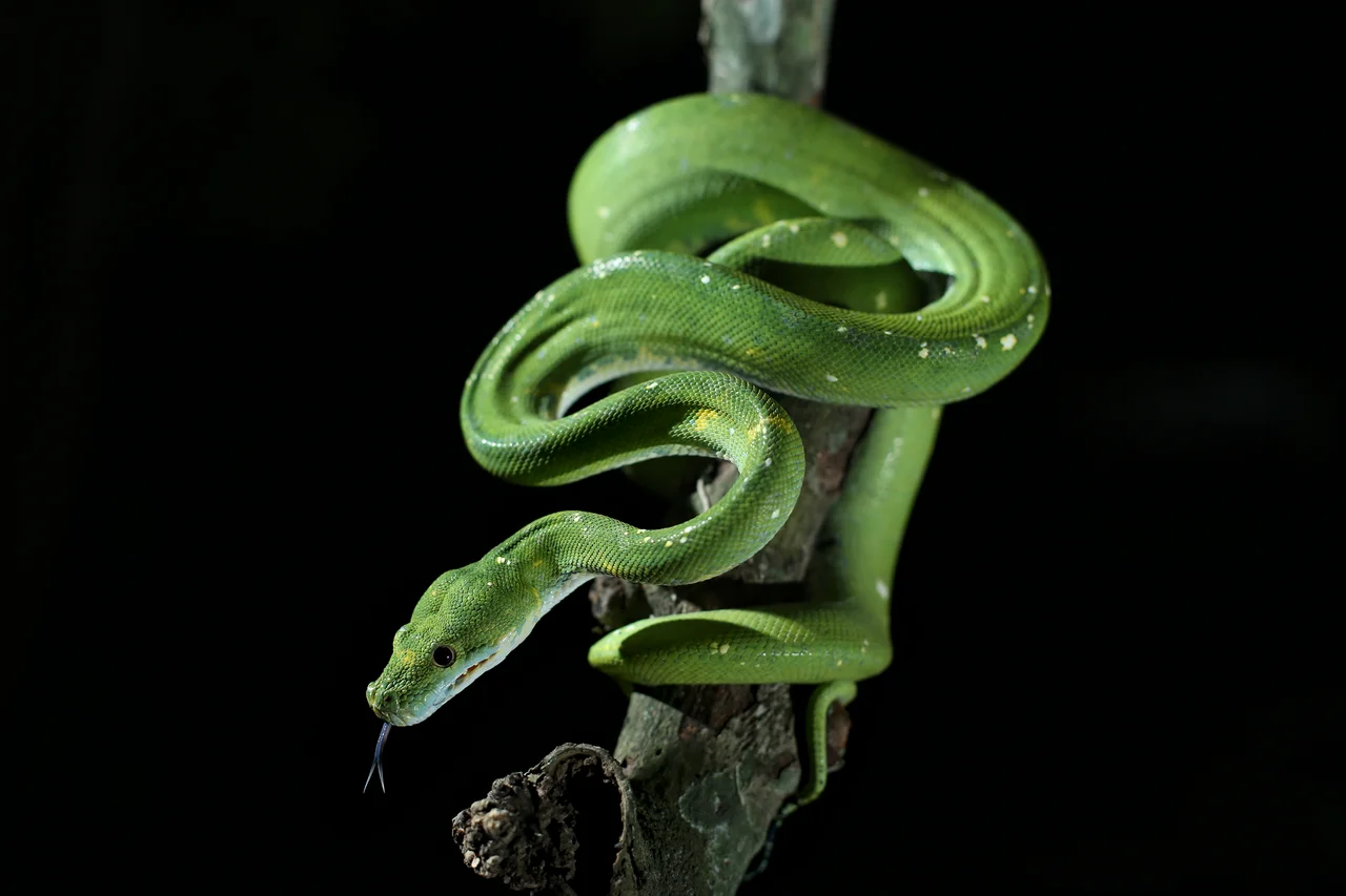
Feathers, Scales, and Fur
The park's fauna reads like a field guide to New Guinea's most spectacular species. Three species of birds-of-paradise inhabit the forest canopy: the greater, the king, and the red, each more improbably beautiful than the last. Southern cassowaries stalk the undergrowth, standing as tall as an adult human. Blue-crowned pigeons, the largest pigeons in the world, forage on the forest floor. Pesquet's parrots, with their vulture-like bare faces, strip figs from high branches. Below the canopy, agile wallabies graze the open savanna in mobs, while both New Guinea and saltwater crocodiles patrol the waterways. The wetlands themselves teem with lobster and crab, sustaining both wildlife and the communities who depend on them.
People of the Garden
Four indigenous groups live within Wasur's boundaries: the Kanum, Marind, Marori Men-Gey, and Yei. Approximately 2,500 people occupy 14 villages scattered across the park. Their diet draws from the landscape itself: fish from the wetlands, sago from palm pith, sweet potato from forest-edge gardens, supplemented with deer, bandicoot, and wallaby. Pig feasts, traditional dancing, weaving, and methods of cooking passed down through generations persist, even as other cultural practices fade under pressure from modernization. The southern reaches of the park hold large fields of ancient agricultural mounds, evidence of farming systems so old their origins remain uncertain. These archaeological sites hint at a relationship between people and this land that stretches back far beyond recorded history.
Sacred Ground Under Pressure
Many sites within Wasur hold spiritual significance for the four resident communities, places where the sacred and the everyday have never been separated. But the park faces mounting pressures. Fires scorched large areas in 2002, visible from satellite imagery as red scars across the landscape. Mining waste from upstream rivers, encroachment from Merauke's growing population, and the broader threats of climate change all weigh on an ecosystem that owes much of its integrity to its remoteness. That remoteness is itself diminishing. As roads improve and development pushes deeper into Papua's interior, Wasur's future depends on whether the partnership between conservation organizations and local communities can hold, sustaining both the garden and the gardeners.
From the Air
Wasur National Park (8.60S, 140.83E) occupies a vast lowland wetland in Merauke Regency, South Papua, Indonesia. The park extends along the Papua New Guinea border, with the Tonda Wildlife Management Area visible across the frontier. From altitude, the landscape appears as a green mosaic of wetlands, savanna, and forest. Merauke Airport (WAKK) is the nearest significant airfield, located to the northwest. Approach from the south to see the contrast between the park's intact wetlands and the surrounding agricultural land.
Nearby Stories
- South Papua 144 km away
- Holy Trinity Church, Saibai Island 156 km away
- Mabuiag Island 184 km away
- Western Papua New Guinea 209 km away
- Badu Island 209 km away
- 2016 Sunbird Aviation Britten-Norman Islander Crash 243 km away
- Australia–Indonesia Border 256 km away
- New Guinea Mangroves 259 km away