West Frisian Islands
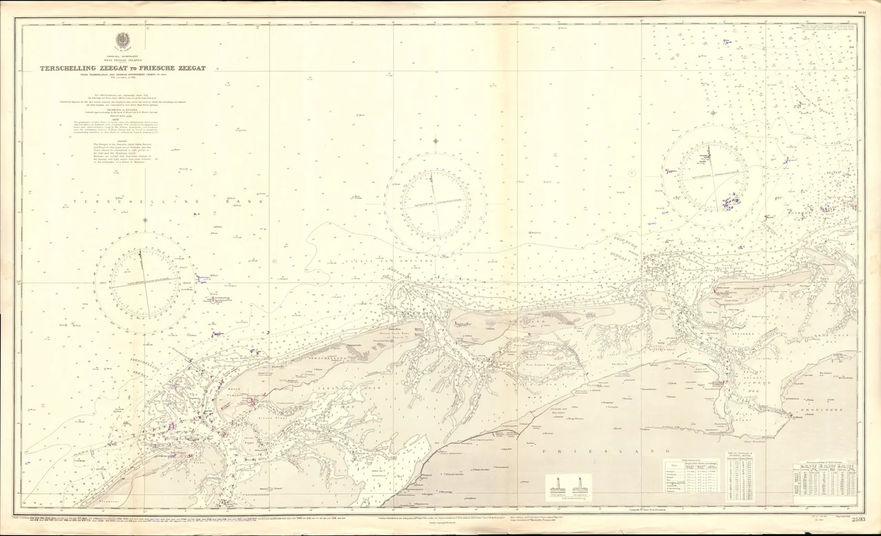
Looked at from above, the West Frisian Islands form a row of commas thrown across the top of the Netherlands. Texel, Vlieland, Terschelling, Ameland, Schiermonnikoog - five inhabited islands, a few smaller uninhabited ones, all of them stretched east-west like a long sandy comma. They are barrier islands, which means they are not stationary objects. Sand moves around their west ends and is deposited on their east ends. Given enough centuries, each island migrates eastward by a few kilometers. The chain protects the Wadden Sea, the shallow tidal water behind them, from the open North Sea. In 2009 UNESCO listed the Dutch and German portions of the Wadden Sea as a World Heritage Site, citing it as the largest unbroken system of intertidal sand and mud flats anywhere on the planet; the Danish portion was added in 2014, completing the cross-border designation.
The Chain, From West to East
Texel is the biggest and the most populated, with about 13,500 of the islands' roughly 25,000 permanent residents. It has the only Michelin-starred restaurant in the chain, a working brewery in Oudeschild, and the Ecomare seal rescue center at De Koog. The Eierland Lighthouse at the north tip is open to visitors up to the sixth story. Vlieland is the second, smaller and rougher, with no cars allowed for visitors. Terschelling is the third, long and narrow, with the Brandaris lighthouse - the country's oldest, dating to 1594 - and 111 listed monumental buildings. Ameland comes next, anchored by the village of Nes, with its own nature museum. Schiermonnikoog is the last and the smallest of the inhabited five, also a no-car island for visitors. Beyond them lie Griend, Rottumerplaat, and Rottumeroog, which are nature reserves only - access permits required, no tourists. Wieringen used to be an island but has been part of the mainland since the Wieringermeerpolder reclamation in the 1930s.
Where the Mud Comes Alive
The Wadden Sea is the reason the islands are protected. Twice a day the tide goes out and exposes hundreds of square kilometers of mudflat, in patterns of channels and bars that satellite photography makes beautiful. Earless seals haul out on the sandbars. Migratory birds use the mudflats as a refueling stop on flights that connect the Arctic to West Africa. The Dutch, the Germans, and the Danes share a coordinated management of the cross-border ecosystem, and a slow effort continues toward a unified wildlife reserve. The complication is hydrocarbons. The Wadden Sea sits over oil and natural gas, and the question of how much extraction is compatible with the preservation of the world's largest mudflats has remained a public argument since the wells began. Mudflat walking - wadlopen - is a Dutch sport done with a licensed guide, because it is genuinely dangerous to attempt without one.
Dialect, Cycling, Cheese
Frisian is an official language of Friesland province, including its islands, and each island has its own dialect variant that mainland Frisians find audibly different even when foreigners cannot tell them apart. The use of these dialects is declining, but they persist in the small villages. Cycling is the main way to see any of the islands. Each has its own bike rental industry, and most visitors leave cars on the mainland because the ferry fares for vehicles are deliberately high - on Terschelling a return car ticket is well over €100. The food is regional in a serious way: lamb and sheep cheese from the salt-marsh-grazed sheep, oysters from the Wadden, local shrimp eaten boiled by the handful, cranberries on every island, and in spring the white asparagus that Dutch cuisine takes very seriously. Texel has built a small culinary economy around all of it, with an annual food festival and a bike route that takes self-caterers from one local producer to the next.
How to Get There
Each island has its own ferry, and each ferry has its own gateway town on the mainland. For Texel, drive north to Den Helder and catch the car ferry. For Vlieland and Terschelling, cross the Afsluitdijk - the great causeway separating the Wadden Sea from the IJsselmeer - and continue to Harlingen, where Rederij Doeksen has been running ferries to the Wadden islands for generations. For Ameland, head for Holwerd via Leeuwarden. For Schiermonnikoog, go further east to Lauwersoog, reachable from either Leeuwarden or Groningen. The train-and-bus combinations work everywhere; Harlingen Haven station is essentially on the ferry pier. Island hopping by sail and bike is its own thing - operators like wadfietsen.nl combine an 8-day trip across at least four of the inhabited islands using authentic Dutch sailing vessels and bicycles on shore.
A Coastline Older Than the Country
The wider Frisian island chain continues east, beyond the Dutch border, all the way to the west coast of Denmark - a long arc of barrier islands that the Frisians themselves consider one cultural region, fragmented by national boundaries that came later than the islands did. The Frisians as a people are older than the Netherlands. The Wadden coast was already being walked and settled in the period when Saint Boniface raised his first wooden church on a terp at Almenum, in the year 754, just inland from where the Harlingen ferries now leave for Vlieland and Terschelling. Today the chain hosts about 25,000 year-round residents and several million tourists a year, and somehow the proportion has not yet ruined what people come for. The mudflats keep moving. The seals come back. The dune grass continues to do its slow work of holding sand in place.
From the Air
The West Frisian Islands stretch roughly from 52.95°N, 4.70°E (Texel, west end) to 53.50°N, 6.25°E (Schiermonnikoog, east end), forming a curving 150-kilometer chain across the top of the Netherlands. From cruise altitude the chain is unmistakable: a row of long pale islands separated from the green mainland by the broad Wadden Sea, which at low tide shows its characteristic feather-pattern of tidal channels and exposed mudflats. The Afsluitdijk is the long straight causeway visible to the south, separating the Wadden from the IJsselmeer. Nearest airports: Den Helder (EHKD) for Texel, Leeuwarden Air Base (EHLW) for the middle islands, Groningen Airport Eelde (EHGG) for the eastern end. Texel International Airport (EHTX) handles small aircraft and skydiving. Best aerial viewing at 5,000-10,000 feet AGL near low tide.
Nearby Stories
- Dokkum 3.1 km away
- Tjaskers in Friesland 4.2 km away
- Rede van Texel 6.6 km away
- Gorredijk 11 km away
- Duinen van Texel National Park 24 km away
- HVDC DolWin1 52 km away
- Gemini Wind Farm 58 km away
- West Sole Gas Field 249 km away