
Whitburn, Tyne and Wear
Stand on Front Street in Whitburn and you are walking the lines of a village plan that has not really changed since the twelfth century. Two rows of properties face each other across a linear green. That is the medieval Norse-influenced template for a north-east village, and Whitburn kept it. The houses around the green have rebuilt themselves several times. The shape underneath them has not. Between the parish church to one side and the windmill standing sentinel to the north, Whitburn looks more like a country settlement than a metropolitan suburb - which technically, since 1974, is what it is.
A Name with Four Possible Origins
The first written mention of the village comes from the Boldon Book of 1183, where it appears as Whitberne. After that, etymology gets crowded. The name might come from a white stream or burn running through the village. It might come from Hwita Byrgen, the burial mound of a Saxon nobleman named Hwita. It might descend from Kwit-Berne, an Anglo-Saxon term for a tithe barn. Or it might simply be hwit and bere-aern in Old English - white barn. The lack of consensus is itself revealing. Whitburn was old enough by 1183 that no one could quite remember why it was called what it was called, and the survey scribes recorded what they heard. The Bronze Age cist burial uncovered at Wheatall Farm in 1929 - a 35-year-old buried with an arrowhead, flints and limpets - hints at just how deep the human presence runs.
Between Two Monasteries
In 674 the king gifted the royal estates east of Dere Street and north of the Wear to the new bishopric of Monkwearmouth. Whitburn was inside that grant. So was a remarkable concentration of Anglo-Saxon ecclesiastical life. Cuthbert, the Bishop of Lindisfarne, was working in the region; the twin monasteries at Jarrow and Monkwearmouth would in the following century produce the Venerable Bede and the manuscripts that helped re-Christianise much of northern Europe. Whitburn sat physically between Jarrow to the north and Monkwearmouth to the south. Its parish church, constructed in the thirteenth century and a Grade II listed building today, is the oldest building still standing in the village. Inside, a 1689 effigy tomb shows Michael Matthew of the Matthew family of Cleadon Tower, his head on a pillow, holding a book inscribed with the words shall not lye here but rise.
Coal Comes and Goes
For most of its history, Whitburn was fishing on one side and farming on the other. South of the village, Whitburn Bents was a hamlet of fishermen and small farmers. Inland it was wheat, barley, sheep. Then in the 1840s Whitburn Colliery - also called Marsden Colliery - opened, and the slow village rhythm sped up. By 1931 the pit was producing more than 18,000 tons of coal a week and a dedicated pit village had grown up at Marsden to house the workers. The colliery closed on 1 June 1968 and the pit village was demolished. Whitburn the village absorbed what it could of the change and kept going. The 2011 census counted 7,448 people in the combined Whitburn and Marsden ward, most of them now commuters into Sunderland and South Shields rather than miners or fishermen.
A Mill, a Walrus and a Carpenter
Whitburn windmill, north of the village, is a magnesian limestone tower mill built around 1796 to replace a wooden post mill that a storm had taken down. It ground corn until 1896, when steam-powered mills made it uncompetitive, and South Tyneside Council restored it in 1991-1992 with a Civic Trust Award to show for the effort. The other Whitburn landmark that draws visitors is less tangible. Lewis Carroll visited his cousin Margaret Wilcox here in the company of Lady Hedworth Williamson of Whitburn Hall, who happened to be the second cousin of Alice Liddell, the original Alice. Local tradition holds that Carroll wrote The Walrus and the Carpenter while holidaying at Whitburn. The poem describes a beach with sand and oysters and a despondent walk along the shore - all of which the village still has, give or take the oysters.
Coast and Cliffs
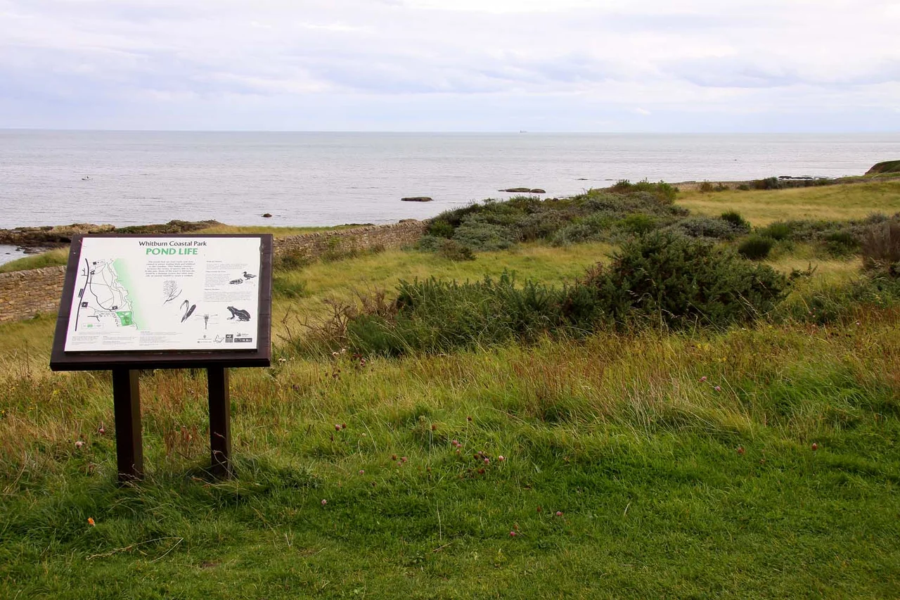
North of the village sits Whitburn Coastal Park, on the reclaimed footprint of the former colliery and cared for now by the National Trust. The cliffs here are limestone, the soil is thin, and the wildlife is what counts. Each winter the coastline takes in birds in internationally significant numbers: purple sandpipers and turnstones from Scandinavia, sanderlings, ringed plovers and redshanks in flocks. Seals haul out on the rocks. Dolphins are seen close inshore in the spring. The Whitburn-to-Trow-Point stretch is recognised as an international and European wildlife site, which is the bureaucratic way of saying the place matters far beyond the parish boundary. From the cliff path you can see Souter Lighthouse to the north and, on a clear day, Sunderland's harbour mouth to the south.
From the Air
Whitburn village centre lies at 54.952 degrees north, 1.366 degrees west, on the magnesian limestone plateau above the North Sea coast in South Tyneside. From 1,500-3,000 feet the medieval two-row village layout is visible along Front Street, with Whitburn windmill as a distinctive landmark to the north and the open ground of Whitburn Coastal Park further north toward Marsden. Newcastle International (EGNT) is roughly 11 nautical miles to the west and is the nearest major airport. The A183 runs the length of the coast from Sunderland to South Shields. Souter Lighthouse provides a strong visual reference about 1.5 nautical miles north.
Nearby Stories
- Seaton Carew 2.7 km away
- HMS Unity (N66) 6 km away
- George Stephenson's Birthplace 6.1 km away
- Raby Castle 9 km away
- Cragside 15 km away
- Whitby Abbey 21 km away
- German submarine U-2367 46 km away
- Alexander L. Kielland (Platform) 277 km away