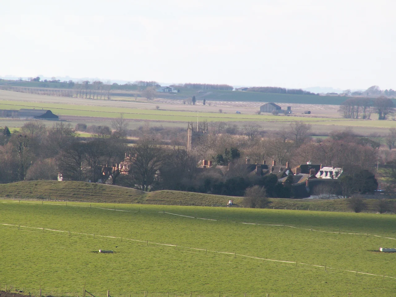

Windmill Hill, Avebury
Six thousand years ago, the first farmers in the British landscape walked up a low chalk hill northwest of where Avebury stands today and started digging. They scooped out a series of pits with antler picks and shovels made from cattle shoulder-blades. They left potsherds in the holes, and bones, and on the bottom of one ditch they laid a child. Then, around 3700 BC, they came back and dug something bigger: three concentric rings of segmented ditch, the outermost ring 365 metres across, with gaps - causeways - left between each segment so people could walk in and out. They piled the chalk into internal banks. Twenty-one acres enclosed. The largest enclosure of its kind known in Britain. We are still not entirely sure why they did it.
Causewayed Enclosure, Carefully Made
The technical name for what they built is a causewayed enclosure - a Neolithic monument type found across northern Europe, defined by ditches broken into segments rather than dug as continuous rings. The deepest ditches and the largest banks at Windmill Hill are on the outer circuit. The causeways between segments vary from a few centimetres to seven metres wide. The work would have required substantial communal labour - hundreds of people, organised, sharing food and tools and stories around the campfire while they shifted tonnes of chalk. The enclosure was used for what archaeologists now think were periodic gatherings: feasting, exchange, ritual deposition of objects and remains. It was probably not a settlement and probably not a defensive site. It was a place to come to, repeatedly, over centuries.
Pottery That Named a Culture
What came out of the ditches in the 1925-1929 excavations made Windmill Hill the type site for a whole culture. The pottery from the bottom layers - round-bottomed, decorated with simple incised lines, the kind of thing a careful potter could make without a wheel - defines what archaeologists called the Windmill Hill culture, the earliest Neolithic farmers of southern Britain. Later layers showed the changes: early Peterborough ware, then Mortlake and Fengate styles, then Grooved ware and finally Beaker pottery as the Bronze Age arrived. The site remained in use for two thousand years. Large quantities of bone came out of the ditch fill, both human and animal - cattle especially. The cattle bones tell us that whoever gathered here brought herds with them, slaughtered animals at the enclosure, and feasted on the meat. The human bones are harder to interpret. Some were curated, moved around, fragmented as part of rites we can only guess at.
Alexander Keiller's Pickaxes
The site was bought in 1924 by Alexander Keiller, heir to the Keiller's marmalade fortune in Dundee, and he excavated it for five seasons from 1925 to 1929 alongside the veteran archaeologist Harold St George Gray. Keiller had the money, the obsession and the methodical mind to do the work properly by the standards of his time. The trenches he opened established the chronology and the pottery typology that still underpins our understanding of British Neolithic enclosures. Further work followed in 1957 and 1958. The National Trust took ownership in 1942. Today the site is under the guardianship of English Heritage, which means it sits within the wider Avebury World Heritage Site and benefits from the protection that designation brings.
Part of a Sacred Landscape
What makes Windmill Hill especially compelling is that it does not stand alone. A mile southeast lies Avebury henge, the world's largest stone circle. Two miles south stands Silbury Hill, the largest prehistoric man-made mound in Europe. Just east of Avebury lies the West Kennet Long Barrow, an enormous chambered tomb. The Sanctuary - a vanished timber and stone circle - sits at the southern end of the West Kennet Avenue. The archaeologist Michael Dames argued in his 1977 book The Avebury Cycle that these monuments together formed an integrated landscape of seasonal ritual - that Neolithic farmers walked between them throughout the year, marking the agricultural calendar at each site in turn. The theory remains debated. What is not debated is that the same communities, over many generations, built and used all of these monuments. Windmill Hill is the oldest. Whatever else it was, it set in motion the long, strange, monumental conversation that this stretch of Wiltshire chalk downland would carry on for the next two thousand years.
A Bronze Age Coda
Long after the Neolithic ditches had silted up, the hill kept attracting attention. Between the inner and middle rings of the enclosure, someone in the Bronze Age built a bell barrow - a particular kind of round burial mound, raised over the body of an important person. The barrow respects the older monument, slotting into the space between the existing earthworks. Whoever was buried under it presumably knew this was a special place even though the original meaning may have been forgotten. Today the site is grassy chalk downland, a low hill with three rings of barely-visible earthworks under the turf, and a single Bronze Age mound. You can see the shape best in lidar imagery, the modern equivalent of standing on top with antler picks and trying to picture what the ancestors meant. The shape is still there, exactly where they dug it.
From the Air
Windmill Hill sits at 51.442 degrees north, 1.876 degrees west, about one mile northwest of Avebury village in Wiltshire. Best viewed from 2,000 to 4,000 feet, especially with low sunlight angles that throw the earthworks into relief. The three concentric ditched rings - the outermost 365 metres across - are visible as faint cropmarks in dry summer weather. Avebury henge is one mile southeast; Silbury Hill is roughly two miles south-southeast. The A4 runs east-west south of the site. Nearest airport is Bristol (EGGD) about 35 miles west. RAF Lyneham is 11 miles north-northwest.
Nearby Stories
- Donnington Castle 4.7 km away
- Glastonbury Festival 8.8 km away
- Bristol Temple Meads 9 km away
- Cotswolds 9.6 km away
- Old Sarum Cathedral 11 km away
- Hyde Abbey 11 km away
- Oxford Castle 13 km away
- St Briavels Castle 14 km away