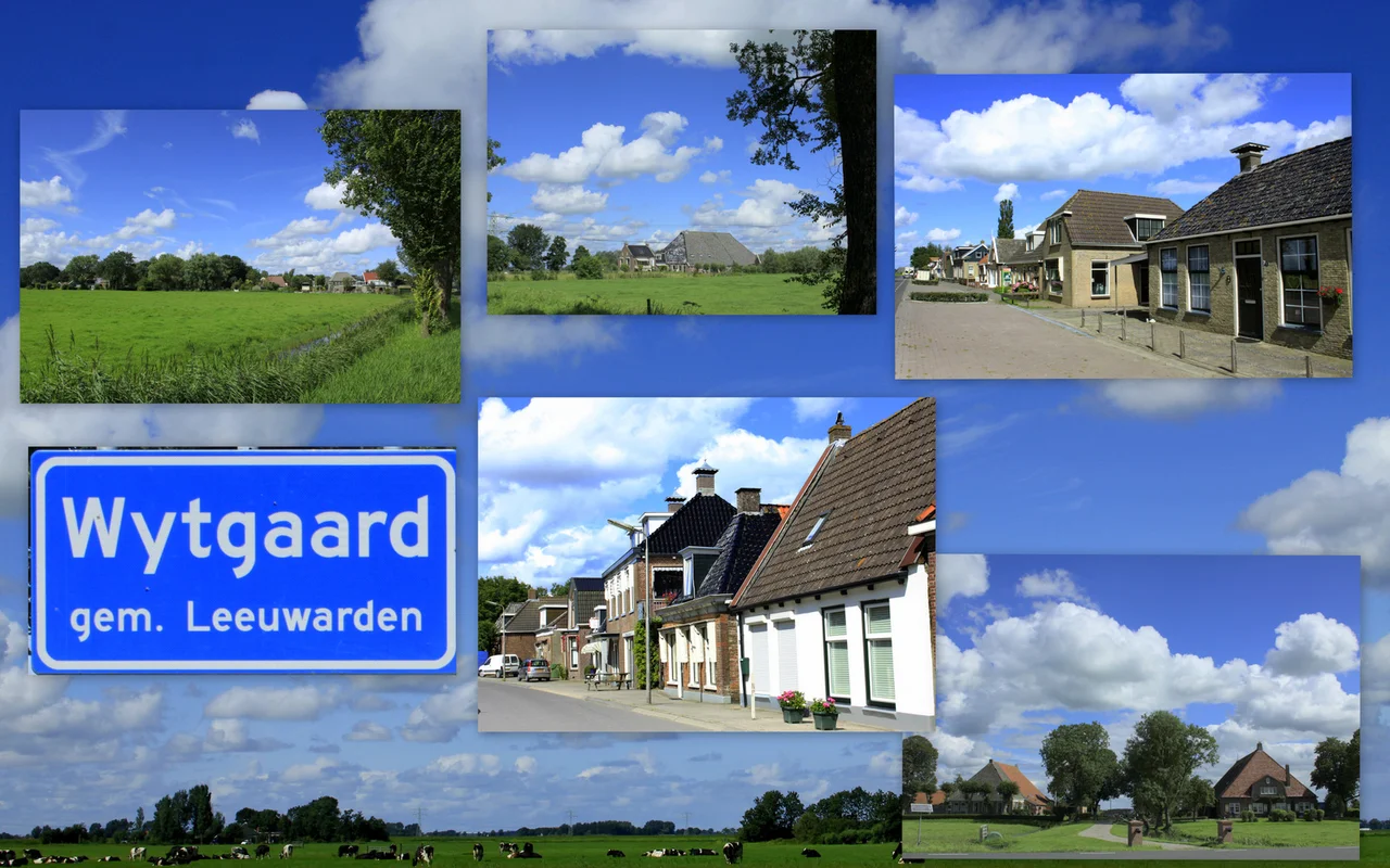
Wytgaard
Wytgaard is a village of about 570 people, set in the flat polder country a few kilometers southwest of Leeuwarden. Most things you can say about it are small things. It became an independent village only in 1957, when it broke away from neighboring Wirdum. It has spent the last forty years not entirely sure how to spell its own name. And it is Roman Catholic — a single small Catholic enclave in a Frisian countryside that has been overwhelmingly Protestant since the Reformation, which is the most quietly remarkable thing about the place.
A Catholic Island
Friesland went Protestant during the sixteenth-century Reformation, and it stayed Protestant. The province's villages are mostly Calvinist by tradition, their churches white-walled and austere, their cemeteries marked by family names that have been listed in the same parish books for centuries. Wytgaard is the exception. A small hamlet arose here in the seventeenth century, on the western edge of what had once been the Middelzee — an arm of the sea that silted up and turned into farmland around the thirteenth century — and the hamlet was Catholic. Why a Catholic community survived here and not in the surrounding villages is the kind of question that has no single tidy answer; pockets of recusant faith persisted in patches across the Dutch countryside, sometimes around a stubborn local family, sometimes around a manor with the political clout to shield its tenants. Wytgaard is one of those pockets. Its neighbor Wirdum, a few minutes' walk away, is Protestant.
Older Than Its Name
The name itself is older than the village. The area was listed as *Wytghardera ny land* in 1485, possibly a reference to a long-vanished monastery that may have stood somewhere nearby — *De Witte Gaarde*, the White Orchard, is one suggested derivation. The form *Wijtgaerdt* turns up in 1511, *Uuytgaerd* in 1543. By the time a proper hamlet had coalesced here in 1718, it was being written as *Wytgaard*. After that, for two centuries, *Wijtgaard* — with an *ij* — became the standard Dutch spelling, while the West Frisian form was *Wytgaerd*. The village grew slowly. Two small neighborhoods at its core eventually fused into one. Before the municipal reorganizations of 1944, it sat inside the now-dissolved municipality of Leeuwarderadeel.
The Forty-Year Spelling War
Independence came in 1957, when Wytgaard officially broke away from Wirdum to become a village of its own. Around the same time, somebody changed the village sign from *Wijtgaard* to *Wytgaard*. It is not clear when, exactly, or by whose decision. Some official records adopted *Wytgaard*; the municipal bureaucrats mostly went on writing *Wijtgaard*; both spellings circulated in print. In 1982 the Fryske Akademy, the institute that standardizes the West Frisian language, formally moved the Frisian spelling from *Wytgaerd* to *Wytgaard*. The postal code is registered as Wytgaard. But on Dutch maps you can still find *Wijtgaard* in active use. The result is that the village has two perfectly valid names, both of them official depending on which official you ask, with no settled answer in sight after nearly seven decades.
What 570 People Live With
Wytgaard's whole story fits in a sentence: a small Catholic community formed on a former seabed, persisted through four hundred years of Reformation Friesland, became a village in 1957, and still argues quietly about whether its name takes an *i* or a *y*. The population was around 570 in January 2017. The horizon is flat in every direction — drained polder land, ditches, distant church towers. The most recognizable building from a distance is probably the Catholic church, a marker that announces, without needing to argue the point, what kind of village this is. Across a few hundred meters of pasture, Wirdum's Protestant tower does the same.
From the Air
Located at 53.141°N, 5.783°E in the flat polder country about 6 km south-southeast of Leeuwarden. Wytgaard is small and densely built, with a Catholic church tower the most prominent feature from the air. The neighboring village of Wirdum, only about 1.5 km to the east, has its own distinct Protestant church — the two towers are a useful navigational pair. Leeuwarden Air Base (EHLW) lies about 10 km northwest. Best viewed at low altitude in clear conditions, when the rectangular field grid and the close pairing of the two villages are most visible.
Nearby Stories
- Buren, Friesland 1.1 km away
- Westerkwartier 3.8 km away
- Zuidwal Volcano 7.7 km away
- Lemmer 9.6 km away
- Zuiderzee Works 9.9 km away
- Hooghalen train crash 14 km away
- Zuiderduintjes 20 km away
- West Sole Gas Field 274 km away