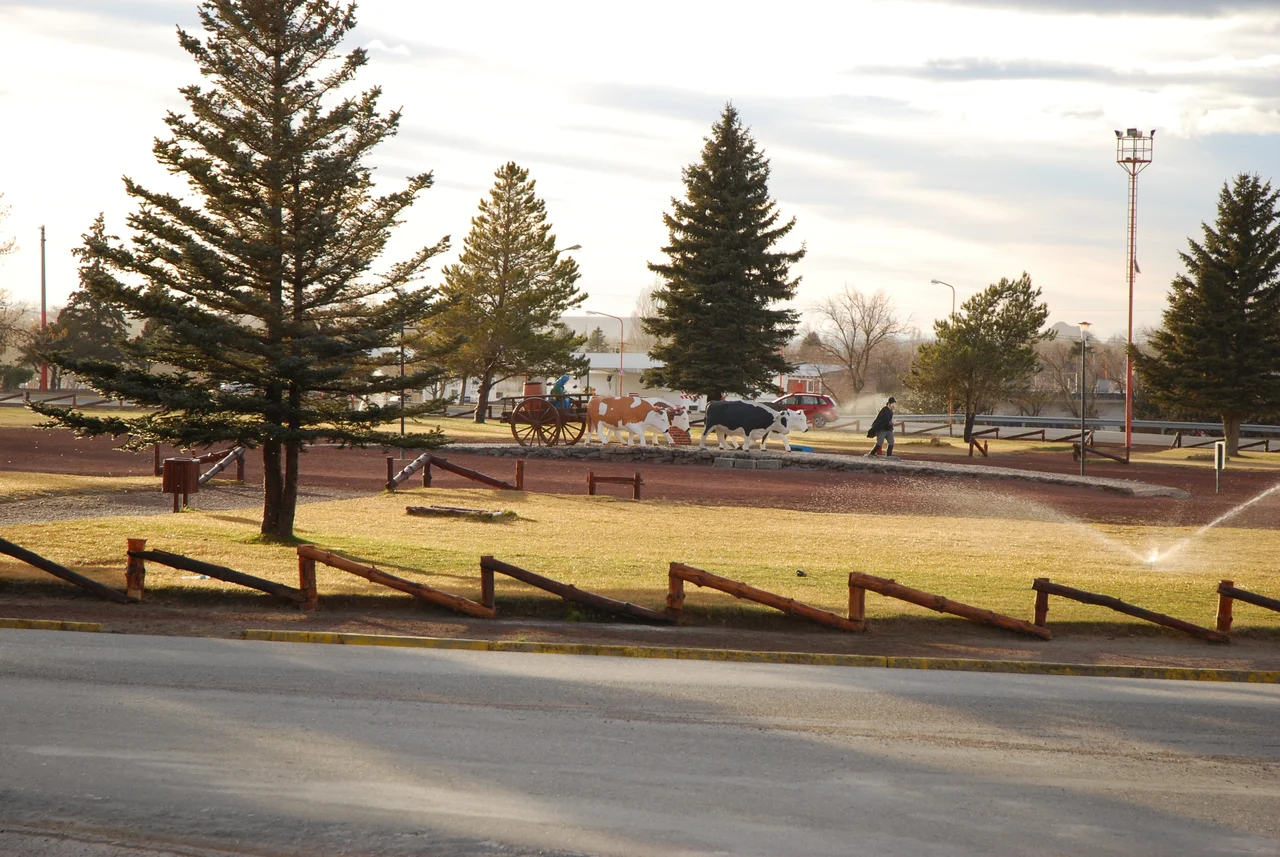

Zapala
On the morning of April 13, 1918, a young Argentine army lieutenant named Luis Candelaria climbed into a flimsy Morane-Saulnier monoplane on the edge of this town, pointed its nose at the wall of the Andes, and took off into history. Two and a half hours later, having clawed his way to 4,000 meters over peaks no aircraft had ever flown, he landed safely at Cunco, on the Chilean side. Zapala had just launched the first flight ever to cross the Andes - a feat attempted from a dusty rail town that most maps barely noted.
The Town the Railway Built
Zapala exists because a railway stopped here. Founded on July 12, 1913, it grew up around a station built by the British-owned Buenos Aires Great Southern Railway, the end of the line running west from Bahia Blanca and Neuquen. The tracks were meant to push on through the mountains into Chile, but construction was abandoned in the 1920s and never finished. The railway left its mark on the very shape of the town: Zapala is split in two by the rails, with an older commercial quarter of weathered buildings on one side and a newer residential district on the other. After Argentina nationalized its railways in 1948, and privatized them again in 1993, the line passed into the hands of Ferrosur Roca - but the station that gave Zapala its reason to exist still anchors the city center.
The Center of Everything and Nothing
Geographers like to point out that Zapala sits at the geographic center of Neuquen province, where national and provincial highways converge on the road toward the Andes and Chile. It is a place defined by its in-between-ness: a crossroads of roughly 32,000 people on the high steppe, with a Loma Negra cement plant on its outskirts and open country in every direction. To the west lies Pehuenia, a region named for the ancient Araucaria - the monkey-puzzle trees, called pehuen by the Mapuche - whose small forests dot the landscape. The town is a launching point: for the protected lagoons of Laguna Blanca National Park, for nearby ski slopes, and for the road that climbs toward the cordillere and the Chilean frontier.
The Man Who Beat the Mountains
The flight that put Zapala in the history books almost defies belief in hindsight. Luis Candelaria was a young lieutenant in the Argentine army, and the aircraft he chose to challenge the Andes was a Morane-Saulnier Parasol - a high-winged monoplane with an open cockpit and an 80-horsepower rotary engine, a machine of wood, fabric, and nerve. On April 13, 1918, he lifted off from Zapala and pushed the little plane up to 4,000 meters, threading the cordillera by line of sight, before descending two and a half hours later to land at Cunco in Chile. No one had ever flown over the Andes before. For the feat the Argentine government granted him the formal title of Military Aviator, and Zapala earned a permanent footnote in the history of flight - the runway from which humans first conquered the southern Andes by air.
Living With the Wind
The defining fact of life here is the weather, and the defining fact of the weather is the wind. Zapala's climate is cold semi-arid, edging toward a cool-summer Mediterranean pattern, but those dry categories understate the experience. Winds have been clocked at 160 kilometers per hour, roaring across the open steppe with nothing to break them. Rainfall is scarce - barely 369 millimeters a year - and snow falls most winters. Summer days climb toward 35 degrees Celsius under brilliant, stable skies, then cool sharply at night. It is a hard, clear, elemental kind of place, the sort of high-desert country where the horizon feels enormous and the air, on a still day, is so transparent that the Andes seem close enough to touch.
From the Air
Zapala lies at roughly 38.90 degrees south, 70.07 degrees west, at the geographic center of Neuquen province on the Patagonian steppe. The city is served by Zapala Airport (ICAO SAHZ, IATA APZ), about 9 kilometers southwest of town at an elevation of 3,330 feet, with a single runway (9/27). The larger regional gateway is Neuquen's Presidente Peron International Airport (ICAO SAZN) to the east. From the air, look for the rail line bisecting the town, the cement plant, and the convergence of highways radiating across otherwise empty steppe. Expect strong, gusty westerly winds - gusts above 160 km/h have been recorded - and exceptional visibility on clear days, with the snow-capped Andes rising to the west toward the Chilean border. Honor Luis Candelaria by tracing his 1918 route westward over the cordillera.
Nearby Stories
- Vaca Muerta 6.3 km away
- Cutral Có 33 km away
- Ernesto Bachmann Paleontological Museum 71 km away
- Las Raíces Tunnel 76 km away
- Lanin National Park 78 km away
- Huerquehue National Park 90 km away
- Villa El Chocón 117 km away
- Reserva Provincial La Payunia 253 km away