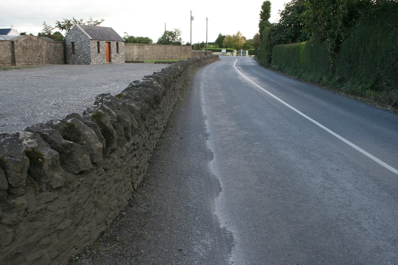

Aghaboe
On the R434, on the way to nowhere in particular, sixty-six townlands sit in a parish whose name comes from the field of a cow. Aghaboe is barely a village by twenty-first-century standards - a knot of houses, a church, a graveyard, a regional road that connects it to the larger world. But the place was important once, when the kingdom of Osraige stretched from these foothills down to the Barrow valley, and when the abbey here was the principal monastic center of an entire small Irish state. The ruins still stand. The motte still rises. The cows still graze. The Latin name Adomnan gave it - Campulus Bovis - still fits.
Saint Canice's Quiet Corner
St. Canice founded his monastery here in the sixth century, in the small Gaelic kingdom of Osraige. At some point before the Norman invasion of 1169, Aghaboe overtook Seirkieran as the principal abbey of the kingdom, taking on the role of religious and intellectual capital. Canice himself built a daughter house at Kilkenny, the kingdom's political center; centuries later, when the Synod of Rathbreasail in 1111 first divided Ireland into territorial dioceses, both Aghaboe and Kilkenny were placed in the Diocese of Ossory, with the bishop's seat going to Kilkenny. There is a long-standing local belief that the see was originally at Aghaboe and only later moved to Kilkenny - but the historian John Bradley traced this back to a sixteenth-century misreading of a thirteenth-century property document. The Aghaboe people held the story anyway. It made the village feel important.
The Tower That Wasn't
Near the abbey ruins, the ground rises into a deliberate hump - the mound of a motte, the earth platform on which a Norman timber tower once stood. The platform at the summit is fourteen meters across, reached by a winding path, with a stone wall that used to encircle the top. The tower would have held a small garrison and a store of arms; it was a watchpoint against attack and a place to hold the locals in fear. Today the wood is long gone, the earth is grassed over, and only the shape remains - a circular swell beside the ruined abbey, a piece of military geometry pressed into the soft Laois ground nine centuries ago. Walking up its slope, you are climbing a building that no longer exists, with your eyes on a monastery that no longer functions.
Feargal's Footsteps
Aghaboe's most famous son walked out of the village and into European history. St. Feargal - Vergilius of Salzburg in the continental records - took his place as abbot here in the eighth century before leaving Ireland through Francia and on into the German lands. He became bishop of Salzburg, where he built the city's cathedral. He was canonized in 1233 by Pope Gregory IX, four and a half centuries after his death. The Catholic Encyclopedia would later describe him as one of the most distinguished Irish monks of the early medieval period - a geometer, an astronomer, a careful builder. From a small village whose name means cow-field, he carried Irish learning to one of Europe's great mountain dioceses. The road out of Aghaboe is short. It has always led somewhere.
Sixty-Six Townlands
The civil parish of Aghaboe covers 74.7 square kilometers of County Laois, divided into sixty-six townlands - the small, very Irish administrative units that originated in the Gaelic land system and were preserved through the English plantation. The parish sits in the barony of Clandonagh, in the rural hinterland west of the market town of Abbeyleix. There is the abbey ruin, the motte, the Church of Ireland church beside the monastic site that retains the name St. Canice. There is the R434 running through. There are farms whose families have known the same fields for generations. Most travelers passing through never know they have just driven across the heart of an early medieval Irish kingdom. The village does not advertise itself. It has had thirteen hundred years to learn that its history will be there whether or not anyone notices.
From the Air
Aghaboe sits at 52.92N, 7.51W in the rolling foothills of the Slieve Bloom Mountains, in central County Laois. The R434 connects it to Abbeyleix (10 km east) and the larger network of Laois villages. From cruising altitude, the village itself is too small to identify - look for the Slieve Bloom ridge to the northwest and the larger county town of Portlaoise to the north. Dublin (EIDW) is 90 km east-northeast; Shannon (EINN) is 95 km west. In good visibility, the south-running line of the Slieve Bloom hills marks Laois's western boundary with Offaly, and Aghaboe lies in the agricultural country at their feet.
Nearby Stories
- Borrisokane 2.8 km away
- Murder of Ashling Murphy 5.6 km away
- St Stanislaus College 7 km away
- Kilcooly Abbey 7.1 km away
- County Carlow 15 km away
- Doon, County Limerick 18 km away
- Kildare Cathedral 20 km away
- Clonard Abbey 21 km away