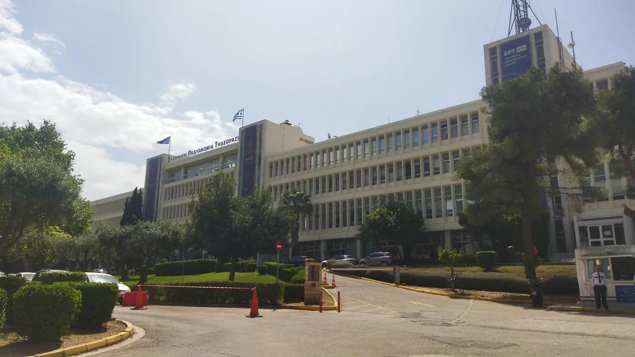

Agia Paraskevi
Greece's only nuclear reactor sits in a quiet suburb on the edge of a mountain forest. It is a five-megawatt research reactor, not a power plant, tucked inside the National Center of Scientific Research Demokritos in Agia Paraskevi, where Greek physicists probed neutrons and materials from the early 1960s until the reactor was shut down in 2004. That a single low town northeast of Athens holds the nation's lone reactor tells you something about the place: Agia Paraskevi is where the capital keeps things it wants close but not downtown. The town took its name from its main church, dedicated to Saint Paraskevi of Rome, but its modern story is one of science, schools, and a fight over a road.
Under Hymettus
The land tilts up toward Hymettus, the long forested ridge that walls off Athens to the east. Agia Paraskevi sits near its northern edge, about nine kilometers from the city center, its built-up streets running seamlessly into neighboring Cholargos, Chalandri, and Gerakas until you cannot tell where one suburb ends and the next begins. Around the central square the town fans out into seven districts with names like Kontopefko and Paradeisos. Mesogeion Avenue, the great artery to central Athens, threads through it, and metro lines stitch it into the wider city. It is the kind of place that grew up fast and pressed itself right against the mountain it was built beneath.
From Village to Suburb
Within living memory this was farmland. Agia Paraskevi belonged to the community of Chalandri until 1931, became its own community that year, and was made a full municipality only in 1963. Photographs of the village before the 1950s show fields, not apartment blocks. Then Athens swelled outward, and the farmers' village filled in with concrete, the same suburban tide that washed over the whole northern Attic plain after the war. What makes Agia Paraskevi distinctive is what landed here as it grew: the Demokritos research center with its reactor, the Greek Ministry of Agriculture, and an unusual concentration of schools that would give the town an international reputation out of proportion to its size.
The Battle for the Mountain
In 1993 the suburb fought its government and, for a moment, won. The state planned to cut a ring road, the A62, straight along the flank of Hymettus, an exposed highway that would fell a swath of trees and pour traffic noise over the neighborhoods below. Residents asked instead for a covered road. The government refused and sent the bulldozers up the mountainside. That April, thousands of people climbed the slope and stood in front of the machines, forcing the drivers off until police arrived to clear them. The road was eventually built and finished in 2001, covered only along a short stretch above Deree College. The mountain was changed, but the people of Agia Paraskevi had made the state come up the hill to do it.
A Town That Teaches
For its size, Agia Paraskevi educates an extraordinary number of people. Alongside a full public system, the town is home to the American College of Greece, whose Deree and Pierce divisions trace back to a school founded by American women in Smyrna in 1875, making it the oldest and largest U.S.-accredited college in Europe. A short distance away stands the Lycée Franco-Hellénique Eugène Delacroix, running dual French and Greek tracks from preschool through high school. The municipality's own public schools include institutions for the hearing impaired at several levels, a quiet commitment in a country where free public education at every stage is written into the constitution. The local football club, formally Agia Paraskevi F.C., is known to its devoted fans simply as 'Santa.'
From the Air
Agia Paraskevi lies at 38.005° N, 23.821° E, about 9 km northeast of central Athens against the northern edge of the Hymettus (Imittos) mountain range, which rises immediately to the south and east as the dominant natural landmark. The forested ridge and the A62 ring road cut along its flank are visible from the air, with the green expanse of the National Center Demokritos campus on the town's outskirts. A viewing altitude of 3,000–5,000 ft AGL frames the suburb between Hymettus and the central Athens basin. Nearest airport is Athens International (LGAV), roughly 15 km east across the Mesogeia plain; visibility is generally good outside summer afternoon haze.
Nearby Stories
- Great Sand Beach 5 km away
- Battle of Delium 7.7 km away
- Tower of Aliartos 9 km away
- HMHS Britannic 10 km away
- Saronic Gulf 15 km away
- Sousaki Volcano 17 km away
- Sanctuary of Apollo Maleatas 24 km away
- Skyros 66 km away