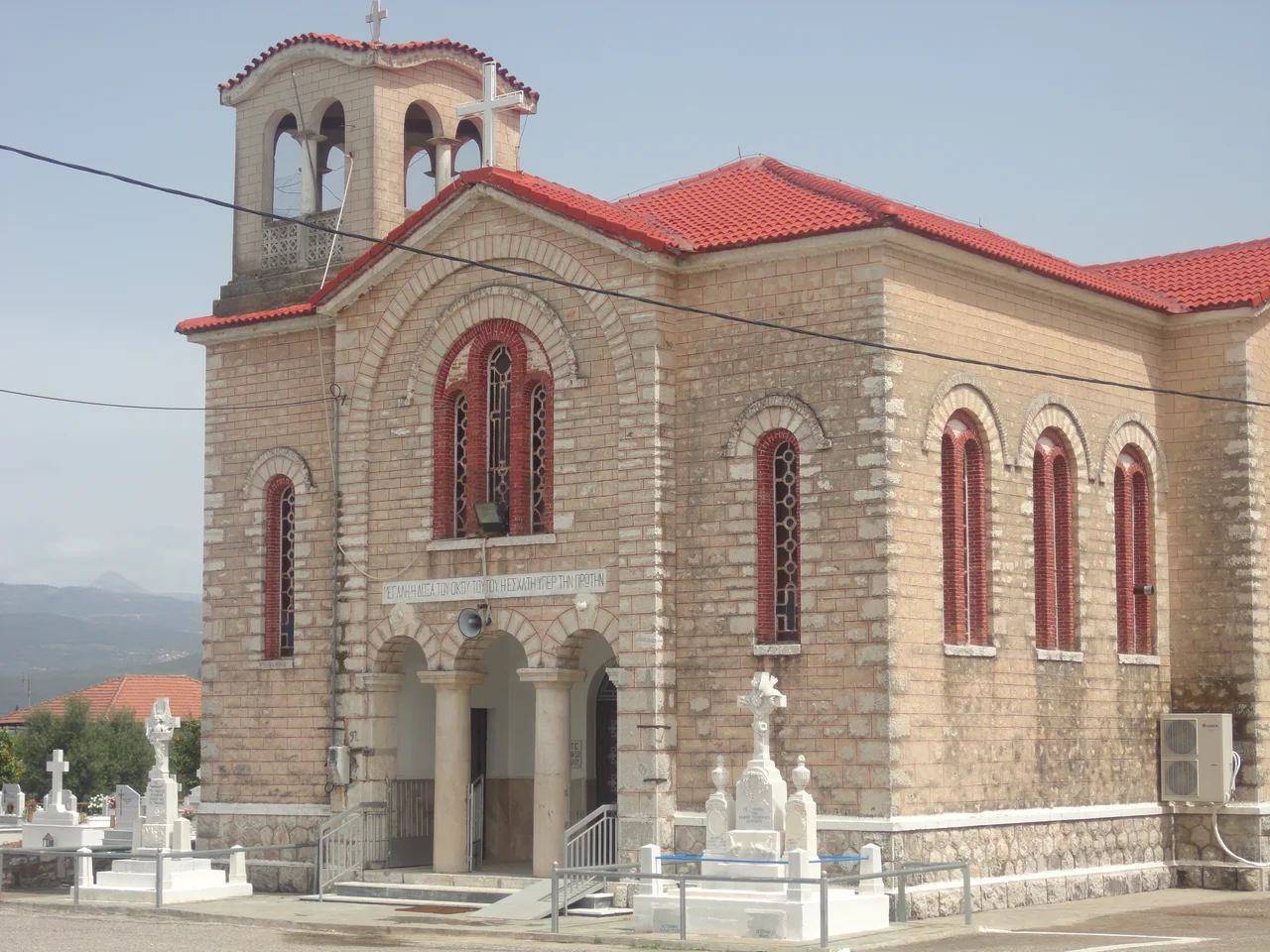

Agrinio
In August 1822, as an Ottoman army under Reşid Mehmed Pasha advanced toward the town then called Vrachori, its Greek inhabitants made a stark decision: they burned their own city and evacuated rather than let the Ottomans take it intact. The strategy of scorched earth left the conquerors a shell. It was, in some ways, the most Aetolian thing imaginable — this region has always valued defiance over comfort, and Agrinio's long history reflects exactly that quality.
Between Two Rivers, Two Worlds
Agrinio sits near the banks of the Achelous River, the ancient natural border between Aetolia to the east and Acarnania to the west. The city has spent most of its history caught in that ambiguous zone: both regions claimed it in antiquity, and it has belonged, at various points, to Greek kingdoms, Macedonian conquerors, Roman governors, Byzantine emperors, and Ottoman administrators. Its official seal captures this liminal quality through myth — Hercules wrestling the river god Achelous for the hand of Dianira, princess of nearby Calydon. According to the geographer Strabo, the myth symbolizes the ancient Aetolians' struggle to control the river through embankments, turning flood-prone wetlands into farmable land.
The ancient city, called Agrinion, was founded about 3 km northeast of the modern center. Archaeological excavations have uncovered its walls and foundations. It joined the Aetolian League and was destroyed by Cassander of Macedon in 314 BC during the League's wars with Macedonia. Like much of the region, it survived through cycles of destruction and rebuilding that would become a recurring theme.
Vrachori: The Ottoman Chapter
During the Ottoman period, the city re-emerged under the name Vrachori and became the administrative center of Aetolia-Acarnania, then governed as the sanjak of Karleli. It was a mixed town — Greek Christians alongside Turkish Muslims — and periodically turbulent. A revolt in 1585 under Theodoros Migas left it deserted for a time. The city reappeared, grew, and by the early 18th century had become significant enough to serve as a regional capital.
When the Greek War of Independence broke out in 1821, Vrachori joined the uprising and was temporarily liberated on 11 June 1821 by forces under Alexakis Vlachopoulos. The liberation did not last. The following year, when Reşid Mehmed Pasha's army approached, the inhabitants chose fire over surrender. The abandoned city was recaptured, but the Ottoman hold on the region was fading. After the Treaty of Constantinople on 9 July 1832 incorporated the area into the newly independent Greek state, the city reclaimed its ancient name: Agrinion, modernized as Agrinio.
Tobacco and Transformation
The modern city took shape across the late 19th and early 20th centuries. Growth came with waves of migration — internal arrivals from across Aetolia-Acarnania, Epirus, and Evrytania, and after the Greco-Turkish War and the catastrophic population exchange of the 1920s, refugees from Asia Minor who settled in the district of Agios Konstantinos. The city absorbed them and kept expanding.
Two industries came to define Agrinio: tobacco and olives. The tobacco warehouses built by companies like Papastratos and Papapetrou — neoclassical brick structures dating from the early 20th century — still stand in the city center as architectural landmarks. Tobacco cultivation shaped the agricultural economy of the entire Aetolia-Acarnania region through much of the 20th century. The construction of the Kremasta and Kastraki hydroelectric dams on the Achelous to the north of the city, built in the postwar decades, added industrial power generation to the local economy and marked Agrinio as a hub for the region.
Lakes, Ruins, and Living City
Agrinio today is the largest city in Aetolia-Acarnania, with a municipality of around 89,691 people according to the 2021 census. It is the economic capital of the region even though the administrative capital remains Missolonghi. The city has a Mediterranean climate that can push past 40°C in summer — hot, dry seasons that make the presence of two large nearby lakes, Trichonida and Lysimachia, all the more welcome.
Lake Trichonida, to the southeast, is the largest natural lake in Greece by surface area. The Archaeological Museum of Agrinion in the city center holds finds from Calydon, Stratos, and other nearby ancient sites — terracottas, pottery, inscriptions spanning millennia of continuous habitation in this landscape. The gorge of Kleisoura, 15 km south on the old national road, offers a dramatic cut through limestone. The ancient city of Stratos, 9 km to the northwest on the Achelous, has its own unfinished Temple of Zeus. The layers here are close together — mythology, history, and the present occupying the same terrain.
From the Air
Agrinio lies at 38.63°N, 21.41°E in central Aetolia-Acarnania, western Greece. From altitude, the city is visible as an urban grid in the fertile plain between Lake Trichonida to the southeast and the Achelous River to the northwest. The lakes are prominent landmarks — Trichonida is the larger, Lysimachia sits closer to the southwest. Agrinio has its own general aviation airport (ICAO: LGAG, IATA: AGQ) in the Dokimi area near the city, suitable for light aircraft. Nearest major airport: LGRX (Araxos), approximately 65 km to the south. Approach from the south offers views of the Gulf of Corinth and the mountain backdrop.
Nearby Stories
- Amphilochian Argos 8.3 km away
- Battle of Preveza (1911) 11 km away
- Taphians 12 km away
- Melissani Cave 13 km away
- Battle of Lepanto 14 km away
- Salmeniko Castle 14 km away
- Saint Augustine of Hippo and Seraphim of Sarov Monastery 18 km away
- Greece 24 km away