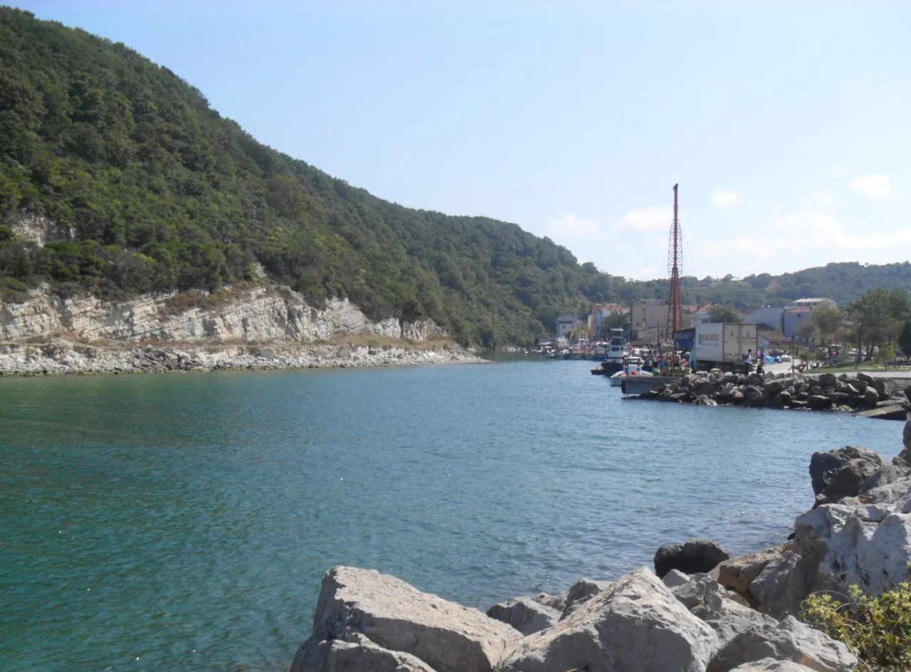

Ağva
The name says exactly where it is. Ağva means 'between the rivers' in Turkish, and that is precisely what the village occupies: a narrow strip of coast where the Göksu River comes in from the west and the Yeşilçay from the east, both emptying into the Black Sea within sight of each other. The sea pushes in. The rivers push back. The land in the middle — sandy, green, unhurried — has been a place of refuge for city people since at least the middle of the twentieth century. Istanbul is 97 kilometers away, which used to feel like a full day's journey. It still feels like a different world.
Where the Rivers Meet the Sea
Ağva sits at 41.13°N, 29.85°E on the Black Sea coast of Istanbul Province, technically part of the Şile district, 38 kilometers east of Şile town itself. The Göksu River, to the west, is known for gentle boat excursions — shallow enough for small craft, tree-lined, with the kind of slow current that invites an afternoon on the water. The Yeşilçay, to the east, carries a heavier significance: it is one of the main sources of Istanbul's drinking water supply, channeled through the Yeşilçay Drinking Water Plant. A resort town sitting astride a major urban reservoir is a particular kind of place — where the pleasure economy and the necessity economy quietly share the same geography. The Black Sea here is cool and gray-blue in spring, warming to something more welcoming by July.
From Charcoal to Sunburn
Before tourism, there was charcoal. The forests behind Ağva — dense stands of oak and hornbeam on the rolling hills above the coast — supplied Istanbul with most of its domestic fuel until the 1950s. Charcoal-making was the economy of this stretch of coast, the work that sustained villages like Ağva through the winter months when the sea closed down and the resorts went quiet. The postwar shift to coal and natural gas transformed the economic logic almost overnight. The forests remained, but their value shifted from fuel to scenery. Television serials discovered the Göksu's picturesque banks. Weekend visitors from Istanbul began arriving in numbers. By the 1990s, Ağva had become a recognized destination, gaining municipal status in 1992 — a formal acknowledgment of what residents already knew: this was no longer a charcoal village.
Summer's Temporary City
The permanent population of Ağva sits at 2,150 as of the 2022 census — a small community that swells to roughly 15,000 people in summer. The ratio is striking: for every year-round resident, six or seven seasonal visitors occupy the same space in peak months. Boarding houses line the riverbanks. Restaurants spill onto terraces above the water. The beach fills with umbrellas. Then September comes, the visitors leave, and the village contracts back into something quieter and more itself. This seasonal rhythm has defined Ağva for decades, and it has shaped what the town builds and who it serves. The economy runs on hospitality from late spring through early autumn; the rest of the year belongs to the people who actually live here.
The Cloth That Endures
Woven on hand looms from lightweight cotton, Şile cloth is a fabric specific to this corner of the Black Sea coast — cool, breathable, naturally airy, and associated with summer clothing across Turkey. Ağva, as part of the Şile district, participates in this textile tradition alongside its larger neighbor. The cloth was developed to suit the humid, warm conditions of the coast, and its open weave makes it particularly suited to the heat that builds in July and August. Small workshops still operate hand looms in the area. The tradition competes with industrial alternatives but has survived partly because it is genuinely functional and partly because it carries cultural weight — it is one of the things that makes Şile and its district recognizable beyond their beaches.
From the Air
Ağva lies at 41.13°N, 29.85°E on the Black Sea coast, visible from 3,000–5,000 feet as the point where two river mouths — the Göksu and Yeşilçay — open onto a sandy stretch of coastline. The village is identifiable by the gap between the two river channels and the green hinterland of forested hills rising immediately behind the coast. Şile town and its lighthouse are approximately 38 km to the west along the coast. Nearest major airport: LTFJ (Sabiha Gökçen International), approximately 80 km to the southwest. The Black Sea coast here runs roughly east-west; coastline approaches from the north give the clearest view of the river mouths and beach. Visibility is generally good in summer afternoons after morning haze burns off.
Nearby Stories
- Kefken Island 2.3 km away
- Rumelifeneri, Istanbul 5.5 km away
- Halki Theological School Gardens 11 km away
- Hereke 20 km away
- Optimatoi 27 km away
- Tottenham (1802 Indiaman) 47 km away
- Battle of Constantinople (922) 64 km away
- Januarius MacGahan 76 km away