
Alauna (Maryport)
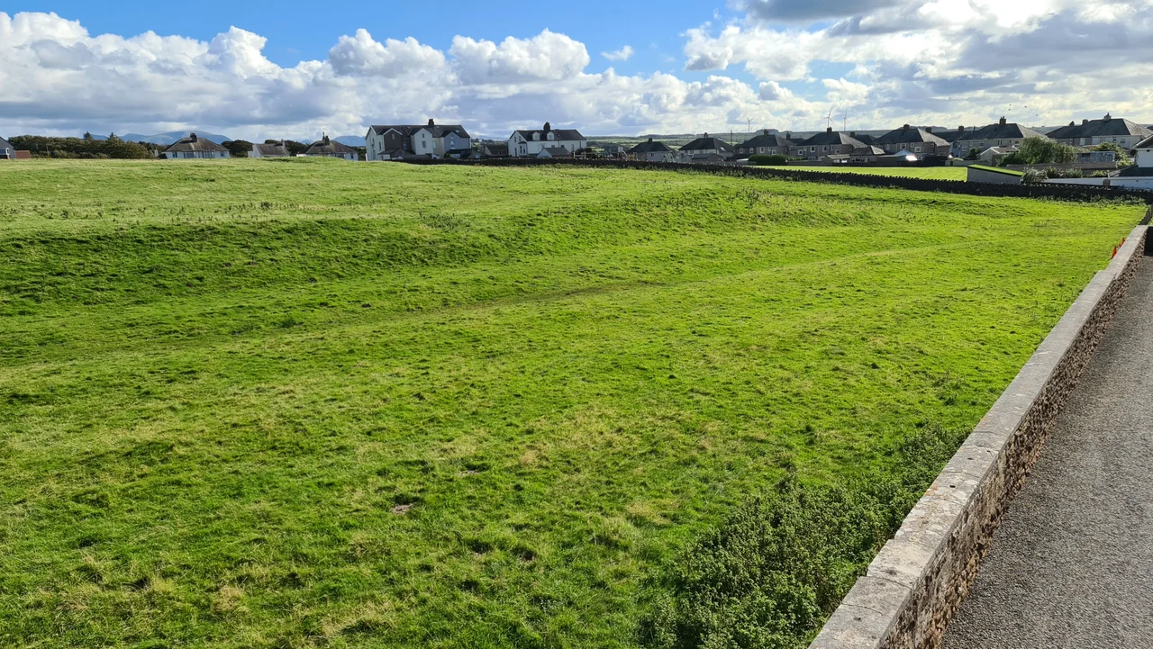
More Roman altars have been pulled from this hilltop than from any other site in Britain. Some came up in Tudor times. Others surfaced in 1870, when a labourer's spade clinked on stone and seventeen of them appeared together in a pit. The dig in 2011 returned to that same pit and asked a different question. Where had the altars originally stood, and why had they been buried? The site is Alauna, the Roman fort and town just north of Maryport, on a hill above the River Ellen. It was one of the western anchors of Hadrian's Wall's defensive line, and for nearly three centuries Roman soldiers from across the empire stood watch here over the Solway Firth.
A Name from a Single Source
The Roman name appears securely only once, in a sixth-century document called the Ravenna Cosmography that listed places across the known world. From that single reference and a careful reading of evidence, scholars have established beyond reasonable doubt that the Roman name for Maryport was Alauna. The name is a river name, drawn from the same root that produced the Allen, the Aln, and other British waters. Here it referred to the River Ellen, which still loops below the fort. Alauna was linked by a Roman road southeast to Derventio at Papcastle and onward to Luguvalium at Carlisle, the regional hub. The fort was built to prevent Hadrian's Wall from being outflanked by an enemy crossing the Solway Firth at low tide.
Reading the Ground
Between May 2000 and September 2003, TimeScape Surveys conducted a magnetometry sweep across 72.5 hectares of Camp Farm, the land covering the fort and its civilian settlement, or vicus. It remains the largest geophysical survey carried out on the northern Roman frontier. What it found was a whole town. The vicus had been well-preserved beneath the fields, with substantial roads, a possible Roman port or causeway, market garden plots with buildings, and traces of medieval activity layered above. Beneath the present fort, the survey detected the outline of an earlier and larger fort that had stood before it. Nearby, a late Iron Age and Romano-British farmstead may have supplied the garrison with food in exchange for Roman pottery, a small detail that gestures at the daily exchange between empire and people.
Voices in Stone
The altars are made of local sandstone, and the inscriptions on them give names, ranks, and home towns of the soldiers and officers who once served at the fort. Many were erected for ceremonies that appear to have taken place once a year. One altar, now in the British Museum, was dedicated by Gaius Cornelius Peregrinus, a town councillor from Saldae, today the Algerian port of Bejaia, who had crossed the Mediterranean and most of Europe to serve as tribune of the garrison here. His altar is one small reminder of how far Roman military careers could carry a man. The altars were designed to stand in rows, perhaps aligned with one or both of two temples whose footprints excavators are still trying to confirm.
Why the Altars Were Buried
The 1870 discovery of seventeen altars in pits was long read as a deliberate ritual deposit. The 2011 dig, led by Ian Haynes of Newcastle University and Tony Wilmott, who was named Archaeologist of the Year in 2012, reinterpreted that picture. The altars had not been carefully buried for religious reasons. They had been reused as foundation stones for a late-Roman building, scavenged for hard, shaped sandstone as Alauna's religious life shifted in the empire's final centuries. Stone-robbing did not stop with the Romans. Across the centuries, walls of the fort were quarried away to build farms and churches in the surrounding countryside, until the site was preserved largely by what archaeology, rather than masonry, could recover.
The Senhouse Collection
From the sixteenth century, the Roman fort site was owned by generations of the Senhouse family, who began collecting altars and inscribed stones almost as a hobby. Their accumulated finds, gathered over four hundred years, form the heart of the Senhouse Roman Museum, which opened in 1990 in a building first put up in 1885 as a naval artillery drill hall. In 2015 the work of recent decades won wider recognition when Maryport's Mystery Monuments project was named Research Project of the Year in the Current Archaeology Awards. The mysteries are not all solved. The temples have not yet been fully traced, and the location of the Roman port, if there was one, remains a question for the next generation of fieldworkers.
From the Air
Alauna lies at 54.721 N, 3.494 W on a hill just north of Maryport, overlooking the River Ellen and the Solway Firth. Recommended viewing altitude is 2,000 to 4,000 feet AGL. The fort's earthworks and outlines of the surrounding vicus are visible in cropmarks at Camp Farm. Maryport harbour sits immediately southwest, and the Cumbrian coast runs north toward Allonby and Silloth. The nearest airport is Carlisle Lake District (EGNC). The site is best seen on clear days when shadows pick out the buried foundations across the fields.
Nearby Stories
- Wast Water 6.4 km away
- Ecclefechan 6.7 km away
- Dundrennan Abbey 7.7 km away
- Penrith 11 km away
- RAF Spadeadam 13 km away
- Kenmure Castle 18 km away
- Kendal 19 km away
- Ramsey Bay 32 km away