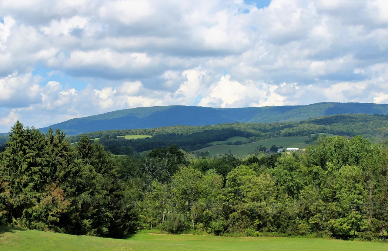

Allegheny Mountains
Before they were a name on a map, the Alleghenies were a wall. For two centuries of colonial expansion, these mountains were the reason wagons turned around and settlers stayed east. The ridges run northeast to southwest for about 300 miles, from north-central Pennsylvania down through western Maryland and into eastern West Virginia, with the great escarpment of the Allegheny Front rising up to 3,000 feet above the eastern valleys in places. Martin Luther King Jr. invoked them in his most famous speech: 'Let freedom ring from the heightening Alleghenies of Pennsylvania.' But before they rang, they blocked. The first permanent European settlers west of these mountains were two New Englanders, Jacob Marlin and Stephen Sewell, who built a cabin together in the Greenbrier Valley in 1749 - then argued over religion, and Sewell moved into a nearby hollowed-out sycamore tree.
The Lenape Word and the Range It Named
The name comes from the Allegheny River, which itself takes its name from the Lenape - the Delaware people. The exact meaning is disputed but is usually translated as 'fine river,' though some scholars argue it may preserve a much older name for the Erie people who once lived along the eastern Great Lakes. For decades, 'Allegheny' was the word for what we now call the Appalachians as a whole. Washington Irving once proposed renaming the United States 'Appalachia' or 'Alleghania.' John Muir, writing in 1867, still used 'Alleghanies' for the mountains in Tennessee and Georgia. Only in the late nineteenth century did geographers settle on the convention used today: Appalachians as the whole eastern chain, Alleghenies as the rugged central-western section.
Where Six Rivers Begin
The highest point of the Alleghenies is Spruce Knob in West Virginia, at 4,863 feet - also the highest peak in the entire Allegheny range. Thorny Flat on Cheat Mountain rises to 4,848 feet. Bald Knob on Back Allegheny Mountain reaches 4,842 feet. The Allegheny Front carves a line that roughly follows the Eastern Continental Divide here. About half the rain falling on the Alleghenies drains west toward the Mississippi; the other half flows east to Chesapeake Bay. Six major rivers begin within the protected lands of these mountains: the Monongahela, Potomac, Greenbrier, Elk, Tygart, and Gauley. Several spectacular gorges - Smoke Hole Canyon, New River Gorge, the Blackwater and Cheat Canyons - cut through the higher ridges and expose the resistant sandstone and quartzite bedrock laid down during the Appalachian orogeny.
Coal, Timber, and the Bitter Legacy
The first roads through the Alleghenies were Indigenous trails widened by colonists - Nemacolin's Path became Braddock Road in 1751, connecting Cumberland, Maryland with the future Pittsburgh. The Baltimore and Ohio Railroad started building west from Baltimore in 1828 and changed the mountains forever, reaching Wheeling on the Ohio River by 1853. With the railroads came the timber and coal booms. Towns sprang up in the deep hollows. Lumber companies clear-cut the original forests in just a few decades. Coal operators dug into the hillsides. The wealth, however, flowed out. The revenues went to financiers in eastern cities. The mountains kept the environmental damage and the poverty. That arrangement created the bitter, generational legacy that still shapes Appalachian politics and economy more than a century later.
Disaster and Recovery
On May 31, 1889, the South Fork Dam above Johnstown, Pennsylvania failed after days of heavy rain. The flood that followed killed 2,209 people and briefly flowed at the rate of the Mississippi River. Clara Barton arrived with a small Red Cross team and eventually assembled more than 50 doctors, nurses, and relief workers in what became one of the organization's first major disaster operations. The legal aftermath - survivors lost case after case against the dam's owners - helped push American law toward strict liability for dangerous activities. The Alleghenies have also kept their secrets. From the 1950s until 1992, the United States government maintained Project Greek Island, a top-secret continuity-of-government bunker beneath The Greenbrier hotel in southern West Virginia. Today the mountains include the Monongahela, George Washington, and Jefferson National Forests, plus wilderness areas like Dolly Sods, Cranberry, and Laurel Fork - the regrown second- and third-growth forests slowly becoming what they once were.
Quiet Skies, Crooked Roads
Even in the twenty-first century, the central Alleghenies remain stubbornly under-developed. The Interstate Highway System reaches the northern part of the range, but the high country between still relies on a network of two-lane state roads winding through hollows and over passes. The United States National Radio Quiet Zone, established in 1958 by the Federal Communications Commission, covers about 13,000 square miles along the West Virginia-Virginia border, restricting most radio transmissions to protect the Green Bank Observatory. Cell coverage exists, but a thinness in the digital signal matches a thinness in the population. The Allegheny Trail, a project of the West Virginia Scenic Trails Association since 1975, now runs the length of the range within West Virginia. The mountains that once stopped westward travel still keep their own counsel.
From the Air
The Allegheny Mountains run roughly 300 miles northeast-to-southwest from north-central Pennsylvania through western Maryland to eastern West Virginia. Best viewed from 8,000 to 12,000 feet AGL, where the ridge-and-valley structure becomes clear. The Allegheny Front - the abrupt eastern escarpment - is a major visual landmark. Spruce Knob (4,863 feet MSL) in West Virginia is the highest peak. Nearby airports include Elkins-Randolph County (KEKN), Greenbrier Valley (KLWB), Cumberland Regional (KCBE), and Altoona-Blair County (KAOO). Mountain wave and rotor turbulence is possible east of the Front when winds aloft are strong from the west.
Nearby Stories
- Jones-Imboden Raid 6.5 km away
- Helvetia, West Virginia 7.1 km away
- Tucker County, West Virginia 9.9 km away
- District of West Augusta 11 km away
- Moorefield 13 km away
- Mole Hill 14 km away
- Lighthorse Harry Lee Cabin 22 km away
- Yew Mountains 28 km away