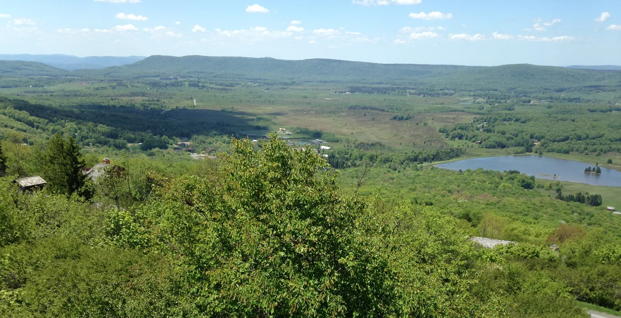

Tucker County, West Virginia
On a summer day in 1893, an armed mob from Parsons, West Virginia marched on the town of St. George and took the county records by force. The Tucker County Seat War had been brewing since 1889 over a question that mattered intensely locally: which town would be the seat of county government. The dispute eventually ended with Parsons keeping the records and the title. Nobody was killed. But the episode tells you something about Tucker County in the late nineteenth century - a place where political fights could be settled with rifles, where two small communities cared enough to risk violence over a record book, and where the geography of the Allegheny ridges made every neighboring town feel like a different country.
Tucker, the Judge, the County
Tucker County was created in 1856 from a portion of Randolph County, while the area was still part of Virginia. The name honors Henry St. George Tucker, Sr., a judge and US Congressman from Williamsburg, Virginia who served on the Virginia Court of Appeals and represented the state in the US House. In 1861, when Virginia voted to secede from the Union, the Wheeling Convention pulled Tucker County and 24 other western counties out of Virginia to form what would become West Virginia. Tucker County voted with the new state. A small portion of neighboring Barbour County was added in 1871, fixing the boundaries roughly as they are today. The 2020 census recorded 6,762 residents - making Tucker the fourth-least populous county in West Virginia.
Burned to Bare Rock
In 1907, the Babcock Lumber Company of Pittsburgh began clear-cutting the mountain ridges throughout Tucker County, operating out of Davis. The lumber boom that Henry Gassaway Davis's railroads had opened a generation earlier accelerated into something close to a final harvest. By 1910, the slashings left behind - branches, sawdust, dry tinder - turned the landscape into a tinderbox. Fires swept the county, sometimes burning continuously from spring until the first snows. In 1914, with the county virtually denuded of standing trees, the ground burned for six straight months. The fires consumed the topsoil that had once produced the largest tree ever harvested in West Virginia - a white oak 13 feet in diameter just 10 feet from the ground - and washed the remaining soil into the narrow valley bottoms, which had always been too cramped for productive agriculture. The county depopulated. The scars remain visible today.
Three State Parks and a Wildlife Refuge
What followed the fires was a slow restoration of land use that had less to do with extraction and more to do with recreation. Today, Tucker County contains three state parks: Blackwater Falls State Park, with its famous 62-foot tannin-dark cascade; Canaan Valley Resort State Park, the highest valley state park east of the Mississippi and home to the state's first commercial ski area; and Fairfax Stone Historical Monument State Park, marking the colonial boundary stone at the source of the Potomac. Federal lands in the county include the Canaan Valley National Wildlife Refuge, the Dolly Sods Wilderness, the Fernow Experimental Forest, and substantial portions of the Monongahela National Forest. National Natural Landmarks include Big Run Bog, Canaan Valley, and Fisher Spring Run Bog. The land that burned to bare rock in 1914 is now mostly protected from cutting.
Towns Along the Rivers
The county's two cities - Parsons (the county seat) and Thomas - each carry their own history. Parsons sits at the confluence of the Cheat River's Black Fork and Shavers Fork, a regional commercial center since the late nineteenth century. Thomas, just upstream from Davis, grew as a coal town tied to the Davis empire and has reinvented itself in recent decades as an arts and music destination. The towns of Davis, Hambleton, and Hendricks round out the incorporated municipalities. Coketon, Douglas, and other former coal patches survive as place names. The unincorporated community of St. George - the loser of the Tucker County Seat War - remains a census-designated place, a small reminder of what almost was.
The Bellwether County
Tucker County was politically divided at the 1861 Virginia Secession Convention and has remained a statewide political bellwether ever since. The county has voted for the winner of West Virginia's electoral votes in every presidential election since the state's formation, with one exception - 1912, when it backed Theodore Roosevelt's Bull Moose campaign. Today the county sits in West Virginia's 2nd congressional district. Tony 'Two Ton' Tonelli, born in Wheeling but raised in Thomas, was shunned by the West Virginia University football program because of his Italian heritage and went to USC instead, where he blocked the punt that led to the winning touchdown in the 1939 Rose Bowl. The county's story has always been like Tonelli's - shaped by what the bigger institutions of its era thought it was supposed to be, and quietly succeeding anyway.
From the Air
Located at 39.10 degrees north, 79.57 degrees west, in eastern West Virginia. Total area 421 square miles. Best viewed from 5,500 to 8,000 feet AGL. Major features visible from the air include the Blackwater Canyon, Canaan Valley (high-elevation wetland), Backbone Mountain (wind farm), Dolly Sods Wilderness, and Blackwater Falls. The Cheat River drainage covers most of the county. Nearest airports include Elkins-Randolph County (KEKN), Cumberland Regional (KCBE), and Morgantown Municipal (KMGW). The region's mountain weather and the Allegheny Front are major aviation considerations.
Nearby Stories
- District of West Augusta 2.4 km away
- Battle of Moorefield 12 km away
- Sinks of Gandy 15 km away
- Helvetia, West Virginia 16 km away
- Orkney Springs Hotel 26 km away
- Battle of Fort Necessity 49 km away
- United Airlines Flight 93 77 km away
- West Virginia Penitentiary 79 km away