Amazonas (Brazil)
Two rivers run together near Manaus but refuse to mix. The black water of the Rio Negro, stained by decomposed leaf litter of the flooded forest, slides alongside the pale, sediment-laden Solimoes for nearly four miles before the currents finally surrender and merge into what the world calls the Amazon. The Meeting of the Waters is the most famous sight in Brazil's largest state, and it is also the best metaphor for Amazonas itself: a place where dense forest meets vast river, where colonial Portuguese collides with Indigenous Ticuna and Kokama, where rubber-boom opera houses rise from a green immensity that covers 98 percent of the state.
Scale Is the First Story
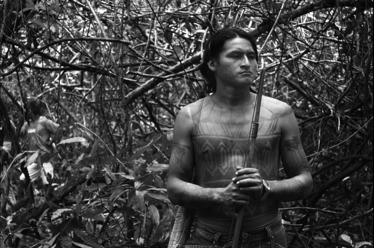
The numbers strain comprehension. Amazonas is larger than Chile, Paraguay and Uruguay combined. Nearly all of it is rainforest. Roads are few. Most people and goods still move by boat along rivers that serve as highways, some stretching so wide that the far bank disappears into haze. From Belem at the Atlantic mouth to Manaus, the ferry trip runs roughly 96 hours upriver. Biologists estimate that the broader Amazon Region shelters about 2.5 million insect species, 2,000 species of fish, 950 species of birds and around 200 species of mammals. Roughly 200,000 Indigenous people live here across dozens of nations, including communities of Ticuna on the Peruvian border. The state is also home to Pico da Neblina, the highest mountain in Brazil.
Black Gold and the Belle Epoque
At the end of the 19th century, the world wanted rubber for bicycle tires, telephone wires and the new automobiles, and the Amazon had it. Tappers bled latex from wild Hevea brasiliensis trees scattered through the forest, and the wealth flowed downstream to Manaus, Parintins, Tefe and Itacoatiara. The boom built opera houses and imported chandeliers up a river a thousand miles from the sea. It also killed or enslaved untold numbers of Indigenous seringueiros through disease and overwork. The bubble burst after rubber-tree seeds smuggled to Asia produced plantations that undercut Amazonian prices. The Belle Epoque buildings in Manaus and the old tiled sidewalks of the river towns are what remain of that brief, brutal prosperity.
Where the Forest Is the Destination
Travelers come for the green. At Mamiraua Sustainable Development Reserve, one of the largest flooded forest reserves in the world at 1.1 million hectares, the water rises up to 80 continuous kilometers during the wet season, and dugout canoes glide between the tops of trees where white uacari monkeys feed. The reserve shelters more than 300 fish species and at least 45 mammal species. Near Novo Airao, the Anavilhanas archipelago scatters over 400 islands down the Rio Negro, one of the largest fluvial archipelagos on Earth. Jau National Park, a UNESCO World Heritage site, preserves vast stretches of untouched flora and fauna. From December to May, rain fills the waterfalls. In the drier months, white-sand beaches emerge along the Negro.
Tables of the River
Amazonas eats what the forest and rivers provide. Tacaca, a soup of tucupi broth, dried shrimp, jambu leaves that tingle on the tongue, and gummy tapioca pearls, is sold from curbside stands in the afternoon. Tapioquinha, a chewy manioc pancake, arrives folded around buttery tucuma palm fruit and farmer cheese. Pamonha, green corn and coconut milk steamed in corn husks, turns up at markets alongside bolo de macaxeira, a dense translucent cake of grated manioc. The fruit is its own education: creamy white cupuacu with its sour-sweet pulp, purple-black acai beaten into a cold slurry, tart camu-camu, milky bacuri. Fish comes every way imaginable, from grilled tambaqui ribs to the massive pirarucu, one of the world's largest freshwater fish, dried and shredded like cod.
Practical Amazonas
Manaus is the gateway, reached mainly by air through Eduardo Gomes International Airport, with domestic flights and connections from Miami, Orlando and several Latin American cities. A paved road links Manaus north to Boa Vista and on to Venezuela, but otherwise the way in and out is river or sky. Tabatinga International Airport serves the triple frontier with Peru and Colombia. The capital is generally safe, but rivers near the Colombian border pass through territory contested by traffickers and armed groups in conflict since the 1990s with police and each other. Ask locally before traveling into remote reaches. The heat is equatorial, humidity rarely relents, and the rains peak December through May.
From the Air
Located at 5.00S, 63.00W, Amazonas covers the north-central bulk of Brazil. Primary airport is Manaus/Eduardo Gomes International (SBEG) with 2,700-meter runways. Tabatinga International (SBTT) serves the tri-border with Peru and Colombia. Recommended viewing altitude 30,000-38,000 feet. From cruise, expect an unbroken green canopy cut only by the silver-brown threads of the Amazon, Negro, Madeira and Solimoes rivers. At Manaus, the distinct dark and light waters of the Meeting of the Waters are visible from the air in clear weather. Equatorial convective buildups are common, especially afternoons December through May.
Nearby Stories
- Purus-Madeira Moist Forests 52 km away
- Nascentes do Lago Jari National Park 79 km away
- Ipubi Formation 82 km away
- Santana Group 99 km away
- Amazonas (Brazilian state) 140 km away
- Matupiri State Park 142 km away
- 2019 Amazon rainforest wildfires 159 km away
- Anama 229 km away