
Aoukar
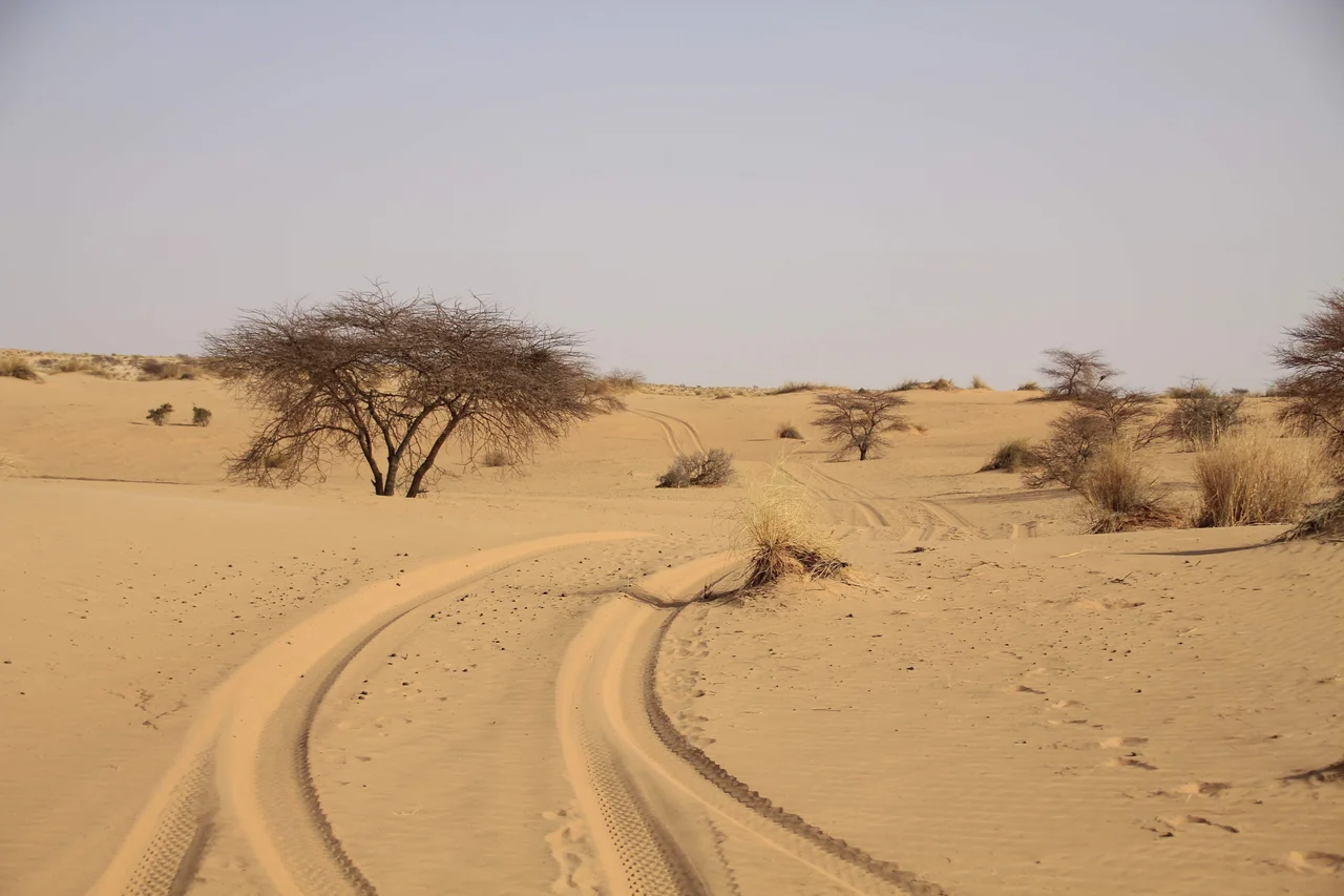
The name means, roughly, the Basin, and the land earns it. Aoukar is a great shallow bowl scooped into southeastern Mauritania, fringed on its north and east by escarpments and floored with sand dunes and salt pans that shimmer white in the heat. Stand on the cliffs at its edge and you are looking out over a dead sea. Before 4000 BCE this depression held lakes of real size. A reed-choked lake once spread toward Tichit along the foot of the Tagant Plateau, alive with water and the people who lived by it. That water is gone now, and what it left behind is one of the most consequential empty quarters in African history.
When the Basin Held Water
The story of Aoukar is the story of a slow drying. Around the rim of the depression, four great cliff lines stand in a broken arc: Dhar Néma, Dhar Walata, Dhar Tichitt, and Dhar Tagant. Below those cliffs, facing the vanished lake, archaeologists have traced the remains of roughly four hundred villages. They belong to the Tichitt Tradition, an agro-pastoral society that flourished here from about 2200 BCE to 200 BCE, herding cattle, farming cereals, working metal, and raising stone settlements ranked in a clear social hierarchy. These are among the oldest stone-built communities south of the Sahara, and they grew up precisely because the basin, for a time, was an oasis world rather than a wasteland.
The Heartland of an Empire
As the lakes withdrew, the people did not simply vanish. The wealth and organization that began on these cliffs fed into something larger. The Aoukar depression became the heartland of the Ghana Empire, the first of the great West African gold states. The ruins thought to mark its most important cities, Koumbi Saleh and the caravan town of Aoudaghost, lie in or near this very basin. For centuries the gold of the south and the salt of the north crossed here. An empire whose name later travelers stretched across all of West Africa took root in a drying lakebed that most maps now leave blank.
A Border Drawn on a Whim
The basin gave its other name, Hodh, to two modern Mauritanian regions, Hodh Ech Chargui and Hodh El Gharbi. But it nearly ended up in another country entirely. Under French colonial rule the area was administered as part of French Sudan, today's Mali. Then in 1944 it was handed to French Mauritania, by one account on little more than a whim of the colonial governor. The transfer was still resented when Mali gained independence, a reminder that even an apparently empty desert can be fought over, and that lines drawn casually on a colonial map can leave a grievance that outlasts the empire that drew them.
The Last Refuge
Today the Aoukar is, in the blunt phrase of the record, largely a barren waste. Yet the emptiness shelters one of the desert's most imperiled animals. This is one of the few natural refuges left for the addax, a pale, spiral-horned antelope so adapted to the deep desert that it can go nearly its whole life without drinking, drawing water from the plants it eats. The addax is now critically endangered, hunted and crowded out across almost all its former range. In a basin that once held a lake, an empire, and four hundred villages, the survivors are a few ghost-white antelope drifting across the dunes, the last living tenants of a land that has outlived everything else it ever sustained.
From the Air
The Aoukar (Hodh) basin centers near 17.69°N, 9.54°W in southeastern Mauritania, lying between the towns of Kiffa and Néma and south of the Tagant Plateau. From the air it reads as a broad, pale depression rimmed by dark escarpments, the dhars, with linear dune fields and the bright glare of salt pans across its floor. The cliff lines fringing the northern and eastern edges are the best navigational features. Tidjikja (GQNT) lies to the northwest atop the Tagant; Néma's airfield sits at the eastern end of the basin. Expect heat haze and the chance of blowing dust; the clearest, most photogenic light comes in the cooler dry season.
Nearby Stories
- Aoudaghost 35 km away
- Tichit 60 km away
- Tagant Plateau 109 km away
- Néma 218 km away
- Oualata 228 km away
- Nioro du Sahel 247 km away
- Koniakary Tata 323 km away
- El Djouf 466 km away