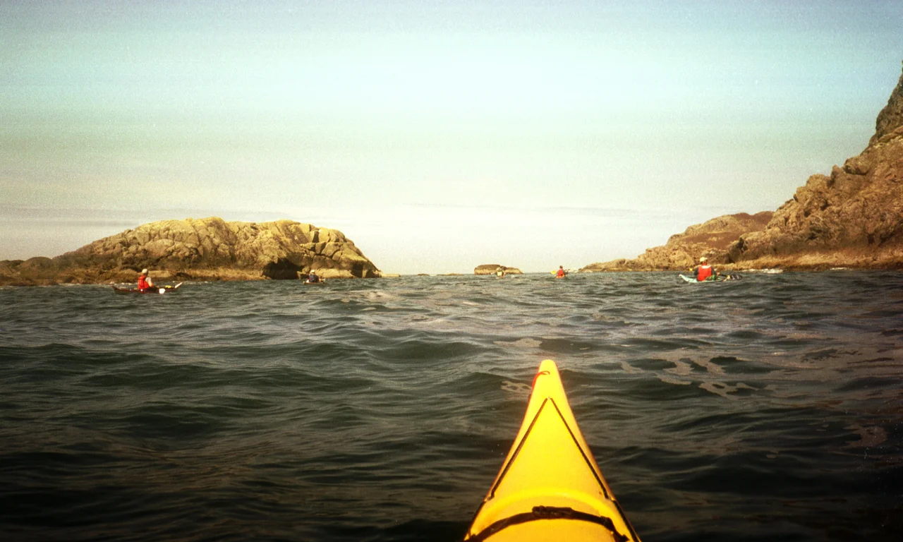

Ardnamurchan
From above, the secret of Ardnamurchan is obvious: a great circle scored into the land near its western tip, concentric rings of rock arcing across the heath. This is the eroded heart of a volcano that erupted around 60 million years ago, when the crust between Europe and Greenland was tearing apart. The cone and its caldera are long gone, ground away by ice and weather, but the harder rock of its ring dykes survived as raised arcs, and geologists regard the Ardnamurchan complex as the finest example of nested ring dykes anywhere on Earth. On the ground you do not see the circle. You see a long, winding single-track lane running west to the most remote corner of mainland Britain.
Headland of the Great Seas
The Gaelic name, Àird nam Murchan, means "headland of the great seas," and the land lives up to it. For visitors the name covers the whole triangle west of Loch Linnhe and north of the Sound of Mull, taking in Moidart, Sunart, Ardgour, and Morvern as well as the western tip that geographers call Ardnamurchan proper. Roughly 2,000 people live across the whole of it. There is no fast way in. The quickest route uses the little Corran ferry, a five-minute crossing operated by the Highland Council that saves a long detour around the loch, and then a lane that threads south and west past Strontian toward the coast. Beyond Strontian the signal drops away to almost nothing, and the modern world recedes with it.
The Village That Named an Element
Strontian is a tiny village near the center of the peninsula, and it gave its name to one of the elements. In 1790, in the lead mines above the village, a new mineral turned up, and when chemists burned a sample it flared a vivid crimson-red. They named the mineral strontianite after the place, and the element they later isolated from it became strontium. It went on to a strange career: extracting sugar from beet in the nineteenth century, coating television tubes in the twentieth, and coloring red firework flares today. The element is chemically close to calcium, which means the body files it away in bone. The harmless form is strontium-88. Its notorious cousin, strontium-90, is a product of nuclear fallout, but it is no part of the rock under Strontian, and a visit puts no one at risk.
The Last of the Atlantic Oakwoods
North of Strontian, in a glen, survives something rare: an Atlantic oakwood. Forests like this once carpeted Europe's western seaboard from Norway to Portugal, thriving in the soft, wet, mild air the Gulf Stream delivers. Ariundle is one of the few good remnants left in Scotland, a National Nature Reserve where sessile and pedunculate oaks grow in trunks that often split into several stems, a legacy of coppicing for the charcoal that once fed an ironworks. The wood is famous less for its trees than for what grows on them. In this perpetual damp, mosses, liverworts, and lichens flourish in profusions found almost nowhere else, draping the branches and stones in green. Walk the trails quietly and you share the place with otters, pine martens, wildcats, and badgers.
Stones of Memory
Ardnamurchan's emptiness was made, not found. On a tidal island in Loch Moidart stand the ruins of Castle Tioram, a stronghold of Clan Ranald burned out during the 1715 uprising; its name means "dry," and at low tide you can walk out to it, though not for long. Inland, the abandoned village of Bourblaige tells a harder story. Its seven families were evicted in 1828 to clear the ground for a sheep farm, part of the Highland Clearances that hollowed out this coast. People had lived on that spot since prehistoric times. Out near the lighthouse at the very tip, another small loss is recorded: the cottage of Mary Ethel Muir Donaldson, a photographer and ethnographer who spent her life documenting a Highland way of life as it vanished. Her house burned down in 1947, but the world she recorded survives in her pictures.
Land's End, Quietly
Half a mile south of the Ardnamurchan lighthouse lies Corrachadh Mòr, the most westerly point of the British mainland. There is no fanfare, no visitor center, just rough going over the heath and then the rock and the open Atlantic, with the Small Isles and Skye rising blue on the horizon. The Sound of Mull, just offshore, is one of the great dive sites of Britain, its floor littered with wrecks, including the Swan, a warship lost in a storm in 1653. Most visitors never get in the water. They come instead for the simple, increasingly rare experience of reaching the end of the road, where the land of an entire country runs out and the sea begins.
From the Air
Ardnamurchan reaches its westernmost point at roughly 56.73°N, 5.98°W. From altitude on a clear day, the most striking feature is the concentric arc of the eroded volcanic ring complex near the western tip, a circle several kilometers across etched into the heath. Descend to 2,000–4,000 feet to follow the deeply indented coastline, the white lighthouse at Ardnamurchan Point, and the wooded glens running inland. Nearest airports: Glasgow (EGPF) lies about 90 nautical miles to the southeast and is the practical gateway; Oban (EGEO) sits closer on the mainland by the ferry network; and Tiree (EGPU) lies offshore to the west. Expect frequent low cloud, rain, and brisk Atlantic winds; the clear days that reveal the volcanic ring from the air are rare and worth the wait.
Nearby Stories
- Strontian 3.6 km away
- Gylen Castle 6.7 km away
- Kinloch Castle 10 km away
- Carsaig Arches 16 km away
- Tiree 24 km away
- German submarine U-722 26 km away
- Dun Telve 27 km away
- Skerryvore 29 km away