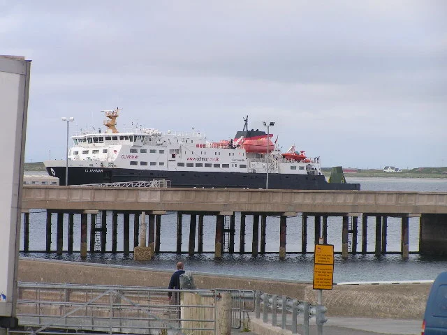

Tiree
In 1886, the British government sent a warship to Tiree. The crofters were in revolt over land and rent, the trouble was bad enough for parliament to notice, and the Royal Marines came ashore to keep order on a twelve-mile island with no hills to speak of. The uprising fizzled peacefully. What happened next is the strange part: the Marines, looking at the level machair under their boots, told the islanders they were standing on perfect golf country. The Marines went home. The fairways stayed.
Tìr Iodh, the Land of Corn
Twelve miles long, three across, lying flat as a green plate on the western edge of the Inner Hebrides. The Gaelic name Tiriodh translates as land of corn, and the soil earns it: machair grassland enriched by wind-blown shell sand, fertile enough that for centuries Tiree provisioned the monks on Iona, fifteen miles southeast. Donald Munro, the High Dean of the Isles, sailed past in 1549 and wrote of it as a fruitful country, well-inhabited and fish-rich, with two parish churches and a good harbour for Highland galleys. The 2011 census counted 653 people on the island. That figure had climbed back to 700 by 2022, a rare reversal for a Hebridean island where the population once peaked near the kelp boom and crashed through the clearances afterwards. The Duke of Argyll banned distilling here in 1802, complaining that the islanders were lacking morals and idle through intemperance. The first legal Tiree whisky in over 200 years went on sale in January 2025.
The Ringing Stone
A granite boulder sits a few yards above the high-water mark on a beach two miles east of Balephetrish, 1.8 metres tall and 3.4 metres long, deposited by a glacier and left for the islanders to find. Throw a cobble at it. The stone rings, a low metallic note that hangs in the air. The crystalline interior is under tension and resonates when struck, which the prehistoric carvers who covered its surface with cup-and-ring marks clearly knew. Chip a fragment off and the tension releases. The fragment goes dead. The signs ask you politely not to try, and most visitors comply. Half a mile beyond the end of the Vaul lane is Dùn Mòr, a broch fortified into a tower in the first century AD and lived in until the mid-third. The ruin still stands two metres high, accessible at any hour. Roman-world artefacts excavated here in the 1960s now live in Glasgow's Hunterian Museum.
Pudding Houses and Pony Trekking
Tiree has a vernacular all its own. The old Highland blackhouse, the tigh dhu, was a stone-walled hut shared with livestock, chimneyless, the interior darkened by peat smoke. The eighteenth and nineteenth centuries replaced it with whitewashed white houses across the Highlands. On Tiree, someone decided to do both at once. Pudding houses set soot-blackened stone into bright white mortar, creating a spotted effect that survives on a dozen buildings, some still lived in, some falling back into the machair. The island also hosts the Tiree Music Festival every July, a half-marathon and a 35-mile ultramarathon in May and September, a pony-trekking centre south of the airfield, and basking sharks in the Sound of Gunna in early summer. There is no taxi. A ring-and-ride minibus runs Monday to Saturday if you book between an hour and a week ahead. There is one Coop in Scarinish, one bank open three afternoons a week, no ATM.
From the Air
Tiree centres at 56.51 N, 6.88 W, the westernmost of the Inner Hebrides. Tiree Airport (EGPU) sits at Crossapol on the south coast, served daily by Loganair from Glasgow. Recommended viewing altitude 2,000-4,000 ft. Visual landmarks: Ben Hynish, the island's highest point at only 141 m, with its civil-aviation radar dome on top; Skerryvore lighthouse 12 mi southwest; Gott Bay on the east coast and Balephuil on the south. The Atlantic-facing west and north beaches are wide and bright. Weather is notoriously windy.
Nearby Stories
- Muck 7.9 km away
- Calgary (Scotland) 7.9 km away
- Pabbay 15 km away
- Dubh Artach 19 km away
- Colonsay 22 km away
- Barra Head 34 km away
- Bullough Mausoleum 36 km away
- SS Athelstane (1941) 69 km away