
Calgary (Scotland)
Bus 494 runs three times Monday through Friday and once on a Saturday, and that is the entire public transit timetable for getting to Calgary, Scotland. The road is the B8073, a single-track lane with passing places, twelve winding miles from Tobermory. There is no shop. There is no pub in the village itself. The mobile signal, as of the last reliable survey in 2022, is patchy on EE, O2 and Three, and absent on Vodafone. None of this discourages visitors. They come for the beach, for the sculpture trail through Calgary Farmhouse woods, and for the small fact that this strip of pale sand once named a city of 1.3 million people on the Canadian prairie.
Getting There Anyway
Most people drive. Some cycle. A few take the West Coast Motors bus and adjust their plans around its limited service. Calgary lies five miles west of Dervaig, the slightly larger village along the B8073, and twelve miles west of Tobermory, Mull's only sizeable town. From Tobermory the road climbs over the spine of northern Mull, drops past a freshwater loch where eagles sometimes hunt, and finally curves down to the bay. The wildlife hide near the loch is described locally with characteristic understatement: you go in it, the wildlife hides, that's the deal. The whole route runs through landscape that feels emptier than its actual remoteness, which is considerable. By Hebridean standards this is not a hard journey. By the standards of anywhere with motorway access, it is a small expedition.
Castle, Clearance, Church
Calgary House, now Calgary Castle, sits above the eastern end of the bay. It was built in 1817 as a castellated Gothic mansion and extended over the following decades. Colonel James Macleod stayed here as a summer guest, and from this house took the name back to Canada in 1876 to christen Fort Calgary. The castle became a private residence in 2018, so the building can only be admired from outside. Above the bay's north shore, a short steep trail leads to Inivea, a ruined village whose inhabitants were evicted in 1817 during the Highland Clearances. Their homes still stand to head height, roofless, slowly returning to grass. Five miles east in Dervaig, Kilmore Church was completed in 1905. Its stained-glass window shows Jesus with a pregnant Mary Magdalene, an iconography rare anywhere in Scotland. The white tower mixes Irish round tower, lighthouse, minaret, and moonshot in a combination that should not work and somehow does.
Standing Stones, Scattered
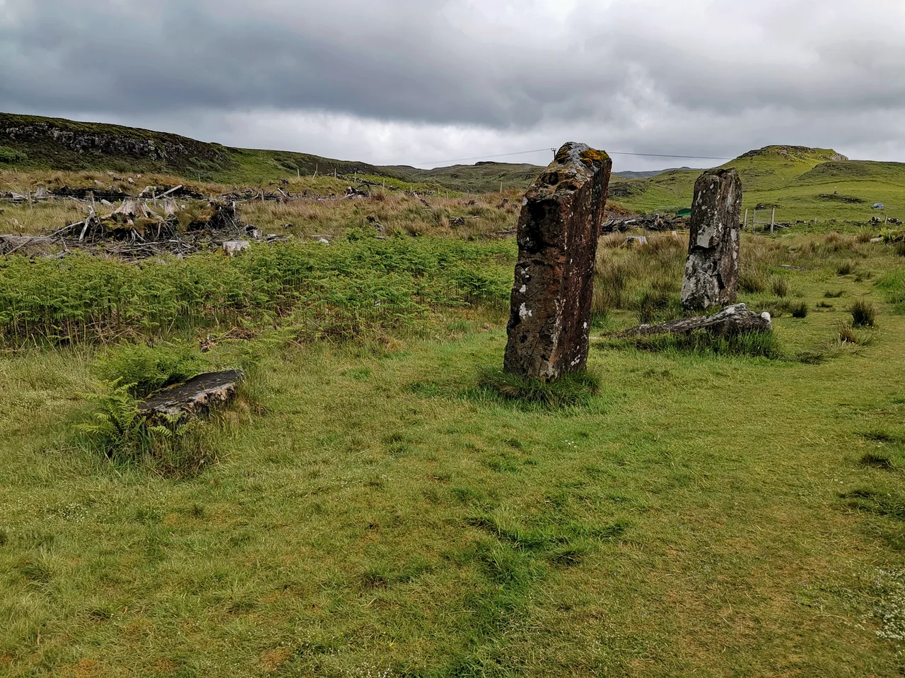
The lane from Dervaig toward Tobermory passes several groups of prehistoric standing stones, aligned, according to long-running archaeological speculation, with sunrise or moonrise at significant points in the year. The largest group, Cnoc Fada, originally numbered five stones; two remain upright, signposted 200 yards from a sharp bend near the hilltop. The Maol Mor group lies half a mile beyond. Dervaig cemetery contains another group of four. The Quinish stones, along a lane north of Dervaig, are a line of four, with only the Caliach, the old woman, still standing. Glengorm has more stones still, accessed from a different lane. None of these are major sites. None are signed for tourism in any serious way. The cumulative effect, walking among them, is a Neolithic landscape preserved by the simple fact that almost nobody comes to look.
Art in Nature
Calgary Art in Nature is the village's organised attraction: a woodland walk threaded with sculptures, set among trees at Calgary Farmhouse. The cafe opens daily ten to five. The gallery and craft shop run alongside. Beyond the sculpture trail, the bay's beach itself is the main draw. Wild camping in tents is permitted along the sand, though caravans and motorhomes are not. There is no disposal point. Visitors are asked, in characteristically blunt local language, to bury the dog's waste and reciprocate for their own. Beyond Calgary, the B8073 continues south through Ulva Ferry and Salen, eventually circling back to Tobermory or down to the Craignure ferry. The road never widens. The journey rewards patience.
From the Air
Coordinates 56.579°N, 6.278°W on Mull's northwest coast. Best viewed at 1,500-2,500 feet AGL on a southerly heading, with Calgary Bay's pale crescent, the Treshnish Isles to the west, and the Dervaig standing stones marked along the road inland. Nearest airports: Glenforsa Airfield (grass) 15 nm east on Mull, Tiree (EGPU) 30 nm west, Oban (EGEO) 35 nm southeast on the mainland. Single-track roads make ground access slow; weather changes quickly off the open Atlantic.
Nearby Stories
- Lismore Seminary 6.1 km away
- Muck 8.6 km away
- Tiree 12 km away
- Glenfinnan Railway Station 15 km away
- Colonsay 21 km away
- Loch Fyne 29 km away
- German submarine U-722 44 km away
- HMS Audacious 91 km away