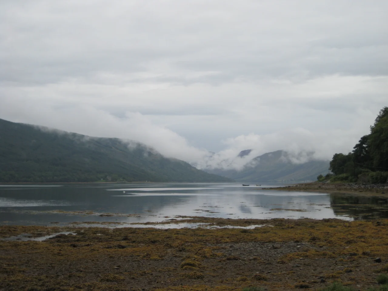

Loch Fyne
The name means 'Loch of the Vine,' which has confused travellers for centuries. No grapes have ever grown on its shores; the title is honorific, suggesting that the river Fyne was a well-respected stream worth raising a glass to. Loch Fyne extends sixty-five kilometres inland from the Sound of Bute, the longest of Scotland's sea lochs. It runs north into the mountains of Argyll, fingered by deep glens, threaded with castles, fringed with oyster beds. The Crinan Canal cuts west from its mid-point to the Sound of Jura, sparing the small boats of the Hebrides a long beat round the Mull of Kintyre. And in October 1940, the British government set up a base on its shores that quietly trained a quarter of a million men in the techniques of beach assault.
A Long Sea Loch
Loch Fyne lies on the west coast of Argyll and Bute, separating the Cowal peninsula from the Kintyre peninsula. The northern half is mountainous - the Arrochar Alps, Beinn Bhuidhe, Glen Shira, Glen Fyne, and Glen Croe rise around the loch's head, with Loch Lomond just over the watershed to the east. The southern half is gentler, fringed by villages strung along the A83 - Ardrishaig, Tarbert, Inveraray - and along the A815 down the Cowal shore through Strachur. The loch is overlooked at its narrows by the Tinkers' Heart, an old monument of the Scottish Traveller community where weddings traditionally took place. Inveraray, the planned town built by the Dukes of Argyll on the loch's western shore, anchors the head of the lower loch with its white facades, its bell tower 38 metres high, and the spires of Inveraray Castle visible from miles down the water.
Oysters and Kippers
Loch Fyne has a long reputation for its oyster fishery, and the loch has given its name to two enterprises that have far outgrown their origins: the Loch Fyne Oysters company and the associated Loch Fyne Restaurants chain. The loch's herring industry produced the famous Loch Fyne Kipper - smoked over oak chips, split and butterflied, the very type-specimen of the Scottish breakfast kipper. The herring were originally caught with drift nets. In the mid-19th century, the loch became the centre of a long, bitter dispute between traditional drift-net fishermen and the new trawl-net operators based around Tarbert and Campbeltown, who from 1833 began scraping the seabed. The drift-netters claimed the trawls were destroying the spawning grounds. The trawl-netters claimed the future. Eventually the trawls won, the herring declined, and the kippers became the loch's most exportable inheritance from the old fishery.
HMS Quebec
Almost no one travelling the A83 today notices that the row of caravans south of Inveraray sits on land that was once the most important Combined Operations training centre in Britain. In October 1940, a few months after Dunkirk, the Royal Navy established HMS Quebec - the No. 1 Combined Operations Training Centre - on the loch's shore. The shoreline, with its sheltered water and good beach gradient, was ideal for practising the techniques of landing craft handling and beach assault. Personnel from all three services trained here, alongside allied troops from across the world. By 1944, approximately 250,000 men had passed through. Many of them went on to the beaches of North Africa, Sicily, Italy, and Normandy. The training centre's main site is now Argyll Caravan Park; the only obvious clue that anything happened here is the silence of the water, which once carried the bow waves of practice landings hour after hour.
The Crinan Shortcut
The Crinan Canal was built between 1794 and 1801 under the supervision of the engineer John Rennie, with later modifications by Thomas Telford in 1816 to remedy water-supply problems. It runs nine miles, with fifteen locks, connecting Loch Fyne at Ardrishaig to the Sound of Jura at the hamlet of Crinan itself. The shortcut saves smaller vessels - yachts, fishing boats, the occasional puffer - the long and exposed beat round the Mull of Kintyre. Before the canal, the alternative was either the open sea or a complicated overland portage; with the canal, the western Highlands and the Hebrides opened up to small-boat traffic from the Clyde. At the loch's mouth, a vehicle ferry runs across to Tarbert on Kintyre from Portavadie on the Cowal shore. Loch Fyne was declared a Nature Conservation Marine Protected Area in 2014, covering the entire loch northwards from a point near Otter Ferry.
Wildlife, Castles, Gardens
Dolphins, seals, and otters live in the loch. Basking sharks appear in summer - vast filter-feeders cruising the surface at the loch's mouth. In early 2007, a Ross's gull turned up at Loch Fyne, a rarity normally found in the high Arctic that drew birdwatchers from across the country. The loch is also a popular sport-diving area, with a boulder field off St Catherines and Stallion Rock at Kenmore Point rising sheer from the seabed. Castles dot the shore: Inveraray Castle, the seat of the Dukes of Argyll; Dunderave Castle, a small tower house north of Inveraray; Kilmory Castle near Lochgilphead; Minard Castle on the south shore; the ruins of Castle MacEwen and Old Castle Lachlan. Crarae Garden, a National Trust for Scotland property ten miles south of Inveraray, runs down to the loch through Himalayan rhododendrons. From any vantage on the high road, Loch Fyne shows the same slow, dark sheen of water that has carried oystermen, herring boats, Norse fleets, and landing craft, one after another, into the western light.
From the Air
The loch centres at approximately 56.066°N, 5.284°W and extends 65 km from the Sound of Bute in the south up into the Argyll mountains in the north. From altitude Loch Fyne shows as a long, narrow sea inlet running roughly southwest-to-northeast between the Cowal peninsula (east) and Kintyre/Knapdale (west). Inveraray and its castle mark the loch's mid-point on the west shore; the Crinan Canal cuts west from Ardrishaig to the Sound of Jura. Best viewed from 3,000-6,000 ft. Nearest aerodromes: Glasgow (EGPF) approximately 35 nm to the east, Oban (EGEO) about 30 nm to the north, Campbeltown (EGEC) approximately 30 nm to the southwest.
Nearby Stories
- West Kilbride 5 km away
- Carsaig Arches 6.7 km away
- HMS Vandal 7.3 km away
- Gourock 7.5 km away
- Battle of Lagganmore 8.5 km away
- Loch Sloy Hydro-Electric Scheme 9.9 km away
- Ardbeg Distillery 12 km away
- Caol Ila Distillery 17 km away