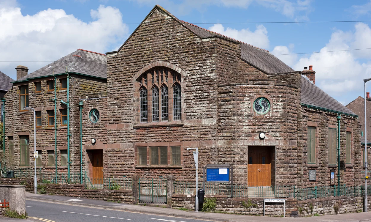

Aspatria
In 1789, a Cumbrian surgeon named Rigg paid labourers to flatten a mound behind his house. They called the mound Beacon Hill, and Rigg wanted the view. About a metre down, the workmen broke into a stone chamber. Inside lay the skeleton of a Viking chief. At his head was a sword nearly five feet long, its blade unusually broad, its hilt mounted in gold and silver. There was a dirk with a silver-studded handle, a buckled belt of gold, and a breast plate. Most of those artefacts are now held by the British Museum. Aspatria has a way of revealing itself through accident. A century after the burial mound, the Brayton Domain Collieries arrived. A century after that, the Lake District National Park drew up its boundary just to the south, leaving Aspatria on the fringe, neither a tourist town nor quite a working one.
The Ash Tree and the Saint
The name of Aspatria is itself a small history lesson. It comes from Old Scandinavian and Celtic together, translating as Ash-tree of Saint Patrick. The Old Norse askr means ash tree, and the saint's name is Celtic. What makes the construction unusual is the order: the tree comes first, then the saint, a pattern particular to Celtic place-names rather than Norse ones. Local legend offers a backstory. Saint Patrick, struggling to convert the people of this corner of Cumberland, planted his staff in the ground, and when he gave up and moved on, the staff took root as an ash tree. The town's spelling drifted across the centuries from Estpatrick in 1224 through Aspatrick, Askpatrik, and Assepatrick. The form Aspatria appears in the parish register in 1712, in the handwriting of the vicar David Bell, and slowly won out. Locals still call the town Speatrie.
Coal Under Stone
Aspatria sits at the northern edge of the West Cumberland Coalfield, and mining shaped the town from the sixteenth century onward. When the Maryport and Carlisle Railway reached Aspatria in 1841, it gave the coalfield a route to market, and the Brayton Domain Collieries sank five pits around the town over the following decades. Other mines opened nearby at Mealsgate, Baggrow, and Fletchertown. The population told the story. In 1801, Aspatria was a village of 321 people. By 1871 it held 1,778, and at its 1921 peak it reached 3,521. When the last pit in the town, Brayton Domain No. 5, closed in 1940, the long decline began. At the 2021 census the parish population stood at 2,813, much the same as it had been a hundred and twenty years before.
Co-operation in the Market Square
In 1870, Aspatria became home to one of the first farmers' co-operatives in England, the Aspatria Agricultural Cooperative Society. Its offices stood in the market square, opposite the Aspatria Agricultural College, which trained generations of Cumbrian farmers from 1874 until the outbreak of the First World War, when it closed and never reopened. The same square holds the memorial to Sir Wilfrid Lawson, the local member of parliament from 1859 to 1906. Lawson was a committed nonconformist and one of the national leaders of the Temperance Movement. His memorial is topped by a bronze of Saint George slaying the dragon, and locals say the dragon represents the demon drink that Lawson spent his career opposing. The co-operative tradition has outlived the coalfield. The First Milk creamery in town produces Lake District Cheese, currently the third best-selling Cheddar brand in the United Kingdom, using 800,000 litres of milk a day to make sixty tonnes of cheese.
Speatrie, Loup Oot
Charles Dickens and Wilkie Collins passed through Aspatria in 1857. They heard the town called Spatter, an attempt to write what the locals were actually saying. A more precise rendering comes from a railway porter named William Brough, who used to call out the station name three different ways for three different classes of passenger. Third class heard a shout: Speatrie, loup oot. Second class got a politer Speatrie, change ere for Measyat. First class received an entirely different language: Aspatriah, change heah for Mealsgate. The town's church of St Kentigern was rebuilt in 1848, but fragments of carved crosses from earlier buildings on the same site are preserved inside, the older Cumbrian Christianity outlasting the building that replaced it.
From the Air
Aspatria sits at 54.763 N, 3.328 W on the north side of the Ellen Valley, with Skiddaw rising to the south and the Solway Firth visible to the north. Recommended viewing altitude is 2,000 to 4,000 feet AGL. The town's developments stretch about two miles east to west along the A596 between Carlisle and Workington. Aspatria railway station on the Cumbrian Coast Line is in the south of the town. The nearest airport is Carlisle Lake District (EGNC), about 18 miles northeast. The Lake District National Park boundary lies just to the south.
Nearby Stories
- Wast Water 6.4 km away
- Ecclefechan 6.7 km away
- Dundrennan Abbey 7.7 km away
- Penrith 11 km away
- RAF Spadeadam 13 km away
- Kenmure Castle 18 km away
- Kendal 19 km away
- Ramsey Bay 32 km away