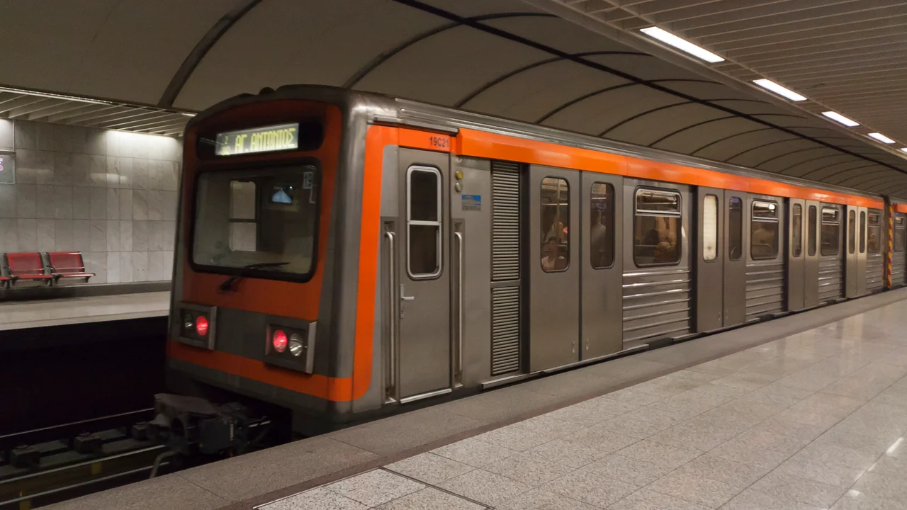

Athens Metro
To build a subway, you dig down. In most cities that means rock, clay, the occasional buried pipe. In Athens it means digging straight through five thousand years of human life. When crews began boring tunnels for the new metro lines in the 1990s, they hit the city's past almost immediately, and they kept hitting it: streets, houses, graves, workshops, wells, sewers, the bones of the dead. So Athens did something unusual. It stopped, called in the archaeologists, and turned the largest excavation in Greek history into a transit system that doubles as a gallery.
Archaeology Ahead of the Drill
For six years, teams of archaeologists worked just ahead of the engineers, then alongside them, recording and protecting what came up before the boring machines could erase it. More than fifty thousand artifacts emerged, the largest single excavation program ever carried out in Greece. The finds were not treasure in the cinematic sense but something better for understanding a city: the ordinary infrastructure of ancient Athens. Foundry pits and kilns, aqueducts and cisterns, drains and the sewage tunnels that kept a classical metropolis running. Engineers and historians, usually working at cross purposes, here worked the same trench. The result was a new map of the city's ancient topography, drawn not from books but from the ground itself.
The Stations as Display Cases
Rather than truck everything to a warehouse, the city left much of it where commuters could see it. At Syntagma station, beneath the parliament building, glass cases hold the stratified layers of Athenian history, century stacked on century from the fifth century BC up through the Ottoman period. Among them lies the skeleton of a young woman who was buried in the fourth century BC, resting in her tomb between bands of ancient soil, a few meters from the ticket gates. At Monastiraki, the exposed bed of the Iridanos, a small river the ancient Athenians knew, runs through the station, its waters still trickling past the platforms. At Akropoli, replicas and finds set the daily commute against a backdrop of antiquity. You wait for a train and find yourself looking at the city's dead and its drains, both equally instructive.
Old Line, New Lines
The metro is really two stories braided together. The newest lines, the deep-level Red and Blue, opened to passengers in 2000 and run almost entirely in tunnel; they are the lines that gave Athens its archaeological windfall. But the Green Line is far older, its origins reaching back to 1869, when steam trains first connected Athens to its port at Piraeus. That makes it one of the oldest urban rail lines on the planet, and it still carries passengers today. Together the three lines carried more than a million riders a day at their pre-pandemic peak, the daily circulatory system of a metropolis of millions, threading beneath ruins it helped uncover.
Still Growing Downward
The digging is not finished. A fourth line is under construction, its first phase between Alsos Veikou and Goudi running driverless under automated control, with thirty-five new stations planned in total. The masterplan imagines a network reaching well over a hundred kilometers and more than a hundred stations by the 2040s. Each new tunnel raises the same question the city answered decades ago: what will the drill find this time? In a place where the ancient and the everyday were never really separated, the safe assumption is that the past is still down there, waiting for the next station to put it on display.
From the Air
The metro network is centered on the Athens basin, ringed by mountains, with the system hub at Syntagma (37.9755 N, 23.7355 E) beside the Greek Parliament and Constitution Square. Line 3 runs aboveground on its eastern reach toward Athens International Airport (LGAV), about 30 km east-southeast of the center; the airport is the nearest major aviation reference. Line 1 (the historic Green Line) runs largely at surface level from the port of Piraeus on the Saronic Gulf north to the suburb of Kifissia. Recommended viewing altitude 4,000-6,000 ft over central Athens to take in the Acropolis, the parliament, and the dense urban grid the tunnels run beneath. Visibility over Attica is typically excellent; expect summer heat haze and strong meltemi winds from the north.
Nearby Stories
- Great Sand Beach 5 km away
- Battle of Delium 7.7 km away
- Tower of Aliartos 9 km away
- HMHS Britannic 10 km away
- Saronic Gulf 15 km away
- Sousaki Volcano 17 km away
- Sanctuary of Apollo Maleatas 24 km away
- Skyros 66 km away
Sources
- Athens Metro - Wikipedia
- Athens Metro – Lines and Stations 2026 (YoMetro)
- Athens Metro Line 4 Construction Status (GTP Headlines / Athens Times)
- Athens-Piraeus Railway History 1869 (Transportation History)
- Archaeological Excavations per Station – Elliniko Metro S.A.
- Iridanos River at Monastiraki Metro Station (Athens Attica)