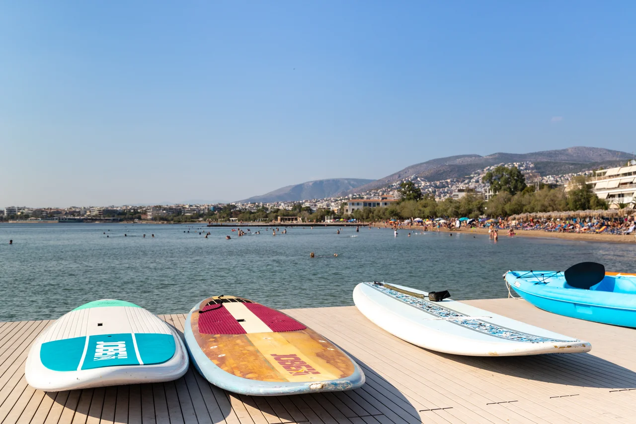

Attica (region)
Nearly four million people live in this one administrative region, and more than ninety-five percent of them are crammed into a single metropolitan sprawl. Attica, as Greece draws it on the map today, is not the ancient peninsula of myth - it is a modern government unit, established in 1987, that wraps the entire Athens metro area and then keeps going, out past the suburbs to a scatter of islands floating in the Saronic Gulf. It is the country's smallest region by land but by far its largest by people, and the engine that drives close to half the national economy.
The Region and Its Islands
On paper, Attica covers about 3,808 square kilometres along the eastern edge of Central Greece, deliberately larger than the historical region that shares its name. Athens anchors it, but the region also takes in the towns of Elefsina, Megara, Laurium, and Marathon, a sliver of the Peloponnese, and a string of islands - Salamis, Aegina, Angistri, Poros, Hydra, Spetses - reaching all the way south to remote Kythira and Antikythera. So a single regional government answers to both a dense capital of apartment blocks and a chic, car-free island like Hydra, where stone mansions climb above a harbor. It is an unusually varied jurisdiction for one administrative line on a map.
Reinventing How It Is Governed
The modern region is a creature of reform. It was created in the 1987 administrative reorganization and originally bundled together four prefectures: Athens, East Attica, Piraeus, and West Attica. Then came the 2010 Kallikratis plan, a sweeping overhaul of Greek local government that redrew Attica's powers entirely. Since 1 January 2011, the region has functioned as a genuine self-governing body - a directly elected second tier of local administration with a budget and authority comparable to the old prefectures it replaced, supervised but not run by the central state. Today it is subdivided into eight regional units, four of them slicing greater Athens into north, west, central, and south, with Piraeus and the islands as units of their own.
The Weight of the Capital
Attica is where Greece concentrates its wealth and its strain in equal measure. In 2018 the region produced a gross domestic product of about 87.4 billion euros - roughly 47 percent of the entire Greek economy - and it posts the highest GDP per capita and the highest Human Development Index in the country, 0.912 as of 2019. Yet prosperity has never been evenly shared. Even as it led the nation economically, unemployment in the region stood at 21.6 percent in 2017, a reminder of how hard the debt crisis fell here. And the population is no longer growing: between 2011 and 2021 the region shrank by nearly 36,000 people, a small but telling reversal for a place long defined by people arriving rather than leaving.
A Region of Extreme Heat
Spread across mountains, coast, and islands, Attica holds several climates at once - and some genuinely punishing records. Most of the area runs hot-summer Mediterranean, but pockets of the Athens Riviera and the western plains tip into semi-arid. The numbers turn fierce in summer: in July 2024, overnight lows in metropolitan Athens stayed above 30 degrees Celsius for twelve consecutive days, shattering every known record in the country. The region also holds Europe's old benchmark - 48 degrees Celsius, logged at Elefsina on 10 July 1977, the highest official temperature recorded on the continent until 2021. High on Parnitha, meanwhile, winter can drop below freezing, while the southern islands stay so mild that Hydra rarely sees a January night below 10 degrees. One region, many weathers, all of them intensifying.
From the Air
The Attica region is administered from Athens, near 38.00 degrees N, 23.70 degrees E, but extends far beyond the city. From the air the core is the Athenian basin, ringed by Mounts Parnitha, Penteli, Hymettus, and Aigaleo, with the port of Piraeus on the Saronic Gulf and a chain of islands - Salamis, Aegina, Poros, Hydra, Spetses - trailing south toward Kythira. Athens International Airport (LGAV) sits on the Mesogeia plain in the region's eastern half and is the nearest major airport. Clear summer days offer haze from extreme heat; spring and autumn give the cleanest views of the islands strung across the gulf.
Nearby Stories
- Great Sand Beach 5 km away
- Battle of Delium 7.7 km away
- Tower of Aliartos 9 km away
- HMHS Britannic 10 km away
- Saronic Gulf 15 km away
- Sousaki Volcano 17 km away
- Sanctuary of Apollo Maleatas 24 km away
- Skyros 66 km away