The Shortcut That Wasn't
The designated route hugged the shoreline. It followed the coast south from Masamba to the waypoint at Siwa, then turned toward Barru and on to Makassar -- a path chosen precisely because the terrain along it never rose above a hundred feet. On the afternoon of October 2, 2015, both pilots of Aviastar Flight 7503 agreed that following the coast was unnecessary. One of them had taken the direct route before, cutting straight across the interior of South Sulawesi, and nothing had gone wrong. So at 22 nautical miles from Masamba, the de Havilland Canada DHC-6 Twin Otter turned onto a heading of 200 degrees, away from the sea and toward the Latimojong Mountains -- peaks that rise above 11,000 feet. The aircraft was cruising at 8,000.
A Routine Afternoon
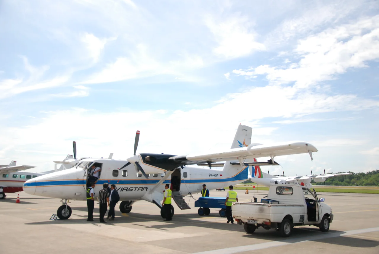
Flight 7503 was the sixth sector of the day for both the aircraft and its crew. Captain Iri Afriadi, with nearly 3,000 hours of flying time, served as pilot flying. First Officer Yudhistira Febby, who actually had more experience at over 4,000 hours, monitored. They carried seven passengers -- airport staff from Andi Djemma and Seko airports, a family with a child and two infants. The weather at Masamba was excellent: visibility above 100 kilometers, winds at five knots. By every measure, it should have been uneventful. The aircraft was airworthy, the crew licensed and current, communications with air traffic control clear and routine. The Twin Otter lifted off from Masamba Airport at 2:25 in the afternoon, local time. It was expected in Makassar an hour later.
Into the Clouds
What neither pilot appears to have discussed was what lay along their chosen shortcut. Satellite imagery from the Indonesian meteorological agency showed cloud formations building over the mountains at the time of the flight. The terrain between Masamba and Barru is not gentle rolling hills -- it is the Latimojong range, the highest on Sulawesi, with peaks reaching 3,478 meters. The aircraft's cruising altitude of 8,000 feet put it well below the summits. At 06:37 UTC, the cockpit voice recorder captured the pilots agreeing to fly direct to Barru. A few seconds later, the first officer suggested delaying the turn briefly. Then came partial cloud. At 06:51 UTC, the captain said he wanted to climb. The CVR recorded the sounds of impact, then silence. The Twin Otter struck trees at 7,734 feet on the mountainside, in straight and level flight. There was no avoidance maneuver -- no turn, no pull-up. The crew never saw the mountain coming.
Three Days of Searching
When the aircraft failed to arrive in Makassar, the Indonesian National Search and Rescue Agency established a crisis center and dispatched a hundred personnel. The first day's search was entirely on foot, and it found nothing. Eyewitness reports poured in from across South Sulawesi, contradicting each other wildly -- some claimed the plane hit the Palopo Mountains, others said it went down near Sidrap waterfall, and a student reported seeing it trail smoke into the sea. All were false. The search area ballooned from 14 to 24 nautical square miles, eventually extending as far as the Makassar Strait. By the third day, 299 personnel were combing the terrain, joined by the Vice Governor of South Sulawesi and relatives of the passengers who still hoped for survivors. What finally broke the impasse was not sophisticated tracking equipment but the signal from an engineer's cellphone, which had been set to airplane mode -- an irony lost on no one.
What the Mountain Revealed
On the fourth day, BASARNAS personnel and Indonesian police found wreckage on Latimojong Mountain. Photographs showed the debris still burning days after the crash. Clean, level cuts through the treetops told investigators the aircraft had been flying straight and level at high speed when it struck -- the crew had no awareness of the terrain ahead. All ten people aboard were dead. The Emergency Locator Transmitter, which should have guided rescuers to the site within hours, had failed because its antenna sheared off during impact. The ground proximity warning system, the EGPWS, never sounded an alert. Investigators could not determine why -- whether the terrain database was outdated, whether the system had been properly tested after installation, or whether it was functioning at all. The airline had briefed some pilots on the EGPWS but had provided no formal training, and testing it was not part of the standard checklist.
The Weight of a Familiar Route
The National Transportation Safety Committee's final report, published in January 2017, identified the cause as pilot decision-making: a deviation from the company's visual route without proper consideration of terrain height, weather, or the risks of flying VFR into instrument conditions. The contributing factor was the silence of the EGPWS. But beneath the technical language lay something more human -- the weight of precedent. One pilot had taken the shortcut before and nothing had happened. That single successful deviation became the basis for a decision that killed ten people. The investigation found no evidence that either pilot discussed the conditions ahead as they flew toward Barru. No assessment of cloud cover, no calculation of terrain clearance. Familiarity had replaced vigilance. Aviastar was grounded after the crash and eventually ceased operations entirely by 2022. The Latimojong range remains where it has always been, rising above the clouds that hide it, indifferent to the routes that pilots draw across their charts.
From the Air
Crash site located at approximately 3.43S, 120.07E on the slopes of the Latimojong Mountains, the highest range on Sulawesi (peak elevation 3,478m / 11,411 ft). The designated route from Masamba (WAWM) to Makassar (WAAA) follows the coastline via Siwa and Barru, keeping terrain below 100 ft. The shortcut route crosses terrain between 9,600 and 11,000 feet. Nearest airports: Andi Jemma/Masamba (WAWM), Sultan Hasanuddin/Makassar (WAAA). Exercise extreme caution flying VFR in this region -- cloud formations frequently obscure the Latimojong peaks.
Nearby Stories
- South Sulawesi: Where Kingdoms Built Ships and Honor Demanded Blood 9.2 km away
- The Ninety Minutes of MV Marina Baru 2B 11 km away
- Land of the Heavenly Kings: Tana Toraja 19 km away
- The Drum of God 26 km away
- The Ground Beneath Mamuju 82 km away
- The Nickel Heart of Sulawesi 109 km away
- Wallace's Dreampond: Lake Towuti and Its Living Archive 128 km away
- Kingdom of Tallo: Two Kings, One People 159 km away