
Ayrshire
Strictly speaking, Ayrshire stopped being a county in 1975. The county council was abolished, its functions transferred to Strathclyde Regional Council, and the territory carved into four districts. In 1996 it was carved again, into three council areas: East Ayrshire, North Ayrshire, South Ayrshire. And yet ask anyone living there where they're from, and they'll say Ayrshire. The administrative units come and go. The crescent of coastline on the Firth of Clyde, the patchwork of farms, the Galloway Hills rising to the south, the local accent - those stay.
A Crescent Between Hills and Sea
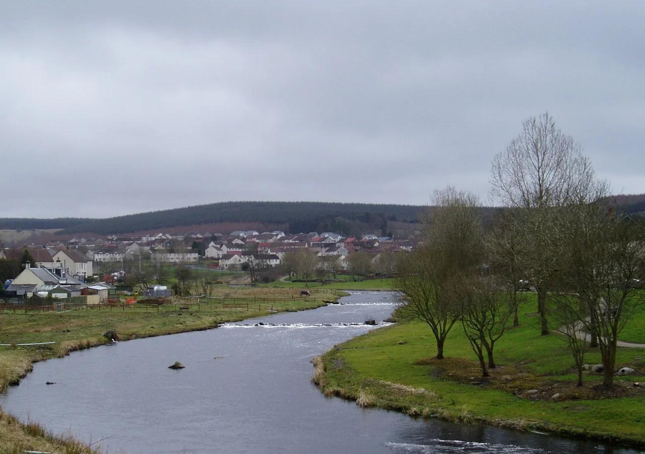
Ayrshire is shaped like a crescent moon laid on its side, opening west towards the Firth of Clyde. To the north-east it borders the old counties of Renfrewshire and Lanarkshire; to the south-east, Dumfriesshire; to the south, Kirkcudbrightshire and Wigtownshire. The county is mostly flat with low hills, part of the Southern Uplands geographic region. The north holds most of the population - the main towns and the heaviest industry, historic and current. East of Largs rise the Renfrewshire Heights, running south to the hill country around Blae Loch. In the south, Ayrshire shares the rugged Galloway Hills with the Galloway counties: a tract of moor and rock west of the A713 that runs from Loch Doon almost down to the Solway Firth, with the Carsphairn and Scaur Hills further east and Glen Afton cutting deep into the country. Lying in the Firth itself are several small islands belonging to Ayrshire - Horse Isle, Lady Isle, and the granite plug of Ailsa Craig.
Carrick, Kyle and Cunninghame
Long before the modern council areas, the shire of Ayr was divided into three districts or bailieries that survived for centuries. Carrick in the south sat between the River Doon and the wild Galloway country - hills and mosses for the most part. Kyle in the middle was the central district, containing the royal burgh of Ayr and running between the Irvine in the north and the Doon in the south. Kyle was further split into Kyle Stewart (or Stewart Kyle) between the Irvine and the Ayr, and King's Kyle, the triangle of land between the Ayr and the Doon - the country honoured as the birthplace and youthful home of Robert Burns. Cunninghame held the north. The names persist on signs and pub doors long after the bailiery system itself disappeared into history.
Fields That Feed Scotland
Ayrshire is one of the most agriculturally fertile regions in Scotland. Potatoes are grown in fields near the coast, fertilised with seaweed harvested from the same shore. The region produces pork, root vegetables, and beef - and summer berries, strawberries especially, grown abundantly enough that they once made the county famous. The breed of dairy cow named for the county - the Ayrshire, brown and white and known for its hardiness - became one of the standard dairy breeds of the English-speaking world. The Ayrshire countryside is a working landscape that still does what it has done for centuries, even as the rest of the economy has shifted to services, light industry, and (in the case of Prestwick) aerospace and aviation.
Romans, Norse, and a King's Birthplace
The territory was briefly occupied by the Romans during the reign of Emperor Antoninus Pius - the very edge of the Antonine Wall's southern reach. The local people, the Damnonii, were Britons. Later, the area was part of the Kingdom of Strathclyde, which was absorbed into the Kingdom of Scotland in the 11th century. In 1263, Scottish forces fought off a Norwegian leidang-army at the Battle of Largs - a skirmish more than a great battle, but the moment Norway's grip on the western seaboard began to slip. The county's most notable historic building is Turnberry Castle on the south Ayrshire coast, dating from the 13th century or earlier, and quite possibly the birthplace of Robert the Bruce.
From Burghs to Districts to Council Areas
When Ayrshire County Council was created in 1890, the burghs of Ayr and Kilmarnock were both deemed capable of running their own services and were excluded from county control. That changed in 1930 when the Local Government (Scotland) Act 1929 brought them back under the council and reclassified all burghs as large or small. Ayr and Kilmarnock kept large-burgh status; the county's other burghs ceded many functions to the county. In May 1975 the council was abolished altogether and replaced by Strathclyde Region with four districts inside it: Cumnock and Doon Valley, Cunninghame (including Arran and the Cumbraes, which had until then been part of Bute), Kilmarnock and Loudoun, and Kyle and Carrick. In 1996 those four districts became today's three council areas. The lieutenancy area is named Ayrshire and Arran. The boundaries of the old historic county still matter for some land registration purposes - a quiet survival of the geography that the bureaucracy keeps trying to redraw.
Trains, Ferries, and Elvis
Railways link the northern towns to each other and to Glasgow, then south to Stranraer and south-east to Dumfries. Ferries connect Ayrshire to Arran and Great Cumbrae. Glasgow Prestwick International Airport sits 32 miles southwest of Glasgow itself - the "Glasgow" added to its name in American military airport convention, since the field served for decades as a stopover for US personnel moving between bases. Prestwick has one piece of cultural history nobody else can claim: it is the only place in Britain where Elvis Presley is known to have set foot, when his army transport home from West Germany refuelled there in 1960. He never came back.
From the Air
Ayrshire covers roughly 55.0 to 56.0 N, 4.0 to 5.0 W along the eastern shore of the Firth of Clyde. From the air, the county's signature is a long coastline opening west to the firth, with the Isle of Arran filling the horizon to the west and Ailsa Craig rising as a sheer granite cone to the south. Glasgow Prestwick (EGPK) is the principal airport, with Glasgow International (EGPF) about 25 nm north of Prestwick. Good visibility extends from the Galloway Hills in the south-east to the Renfrewshire Heights in the north. Best viewing from 3,000-5,000 ft AGL on clear days.
Nearby Stories
- Kilbirnie 4.2 km away
- East Kilbride 5.4 km away
- Knockshinnoch Disaster 7.3 km away
- Machrie Moor Stone Circles 9.4 km away
- Kenmure Castle 16 km away
- Ballantrae Lifeboat Station 20 km away
- Loch Fyne 38 km away
- SM UB-85 46 km away