.jpg)
Bab-el-Mandeb
The name, in Arabic, means Gate of Grief. Twenty-six kilometers of water separate Ras Menheli in Yemen from Ras Siyyan in Djibouti - a narrow doorway where the Red Sea meets the Gulf of Aden and, through the Suez Canal, the rest of the world. About nine percent of the world's seaborne petroleum passed through here in 2017. An earthquake, an Arabic legend says, once separated Asia from Africa here, and all who drowned gave the strait its mournful name. Geologists think the legend is not entirely wrong: the Danakil Isthmus really did form a land bridge between Ethiopia and Yemen in the Miocene, and shallower crossings in the Pleistocene may be how the ancestors of every non-African human on earth first left the continent. Today the Bab-el-Mandeb is a military hot zone, a commercial lifeline, and - as it has been for 100,000 years - a door.
Where We Came From
According to the recent single origin hypothesis, modern humans emerging from East Africa around 70,000 to 100,000 years ago may have crossed the Bab-el-Mandeb when sea levels were much lower. The strait itself would have been dry, or nearly so. Then, as oceans rose, the crossing sealed behind them and the people who had gone through kept moving east - along the coast of Arabia, along the southern coast of Asia, eventually to Australia and, much later, to the Americas. This is a working hypothesis, not a certainty, but it has substantial genetic and archaeological support. The Danakil Isthmus also appears in the deep history of the region: Yaqut al-Hamawi, the thirteenth-century Arab geographer, connected the strait's name to the sixth-century crossing of the Aksumites from Ethiopia to Yemen, when King Kaleb led his army across the water to overthrow Dhu Nuwas and punish the Himyarite persecution of Christians in Najran.
Perim, a Rock in the Middle
The strait is not a single channel. The volcanic island of Perim sits in the middle and splits it in two. The eastern passage, Bab Iskender - Alexander's Strait - is narrow, about 5.37 km, and relatively shallow at 16 fathoms. The western passage, Dact-el-Mayun, is wider at 20.3 km and much deeper, 170 fathoms. Surface currents flow inward in the east; a strong undercurrent flows outward in the west. The British East India Company seized Perim in 1799 to control passage to the Red Sea, erected a lighthouse there in 1861, and held the island until 1967, when it became part of South Yemen. A Soviet naval presence followed from 1967 to 1986. Near the coast of Djibouti a chain of small islands called the Seven Brothers adds more navigational complication. Fishermen, naval captains, and insurance underwriters have always had opinions about which channel to take.
The Oil Door
When the Suez Canal opened in 1869, the Bab-el-Mandeb became one of the most important maritime chokepoints on earth. By 2018, about 6.2 million barrels of crude oil and refined petroleum were passing through every day - 3.6 million barrels moving north to Europe and the United States, 2.6 million moving south to Singapore, China, and India. Plus liquefied natural gas tankers. Plus container ships from everywhere. Plus undersea fiber-optic cables linking Europe to Asia. About nine percent of the world's seaborne petroleum flow passed this way in 2017. If you shut the strait, you shut a meaningful fraction of the global economy - which is why so many governments care what happens in a hot, narrow place that almost nobody lives on.
Everyone's Base
On the African side, at Djibouti, the military footprint reads like a directory of the international order. The United States took over Camp Lemonnier from France in 2002 - it is now AFRICOM's largest base on the continent. China opened the People's Liberation Army Support Base in Djibouti in 2017. Japan maintains a Self-Defense Force base here - Japan's only overseas military installation. Italy operates the Italian Military Support Base. France still has its own forces, under a treaty renewed in 2024. Saudi Arabia has discussed building a base. Russia has sought access in Eritrea, across the water. Djibouti has turned its strategic location into its principal export. Yemen, at the other end of the strait, has no such luxury: civil war has run since 2014, with Houthi-controlled areas governing most of the western coast.
The Red Sea Crisis
After 19 October 2023, following Israel's military operations in Gaza, the Houthis began attacking commercial shipping in the Red Sea - ships they claimed were linked to Israel, the United States, or the United Kingdom. Some ships were sunk. The MV Galaxy Leader was boarded and its crew held for over a year. The Sounion, an oil tanker, nearly caused an environmental catastrophe. Shipping diverted around the Cape of Good Hope, adding two weeks to the voyage from Asia to Europe. Insurance rates soared. The European Union launched Operation Aspides; the United States led Operation Prosperity Guardian. A ceasefire was brokered in late 2025. Through all of it, Yemeni civilians along the coast watched multinational warships patrol water they could not fish, and the door that had opened for Homo sapiens ninety thousand years before stayed mostly closed for commerce.
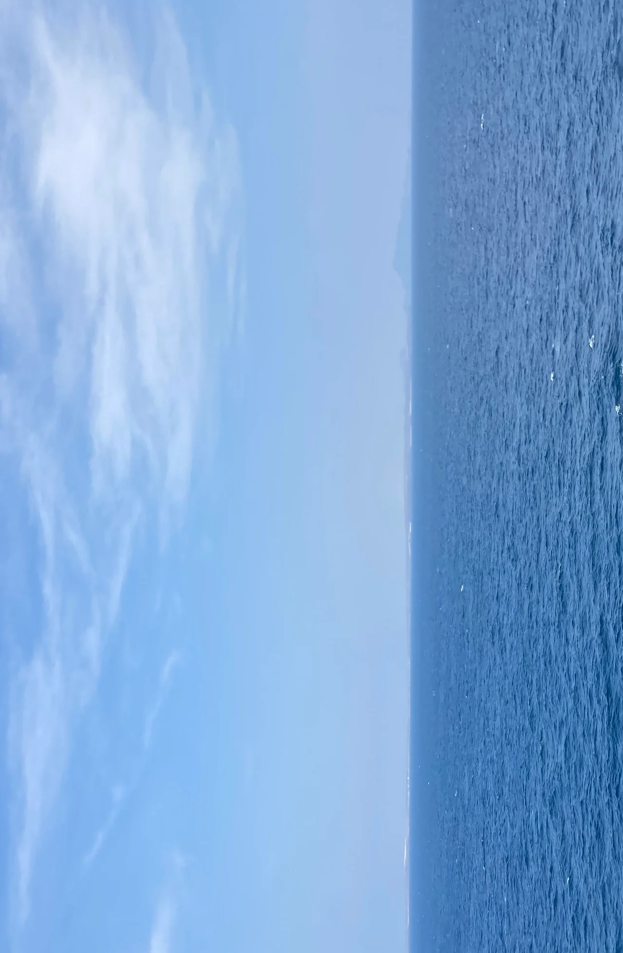
From the Air
The Bab-el-Mandeb lies at 12.58 N, 43.33 E, the narrow gate between the Red Sea and the Gulf of Aden. Djibouti-Ambouli International (HDAM) is the primary airfield on the African side, about 100 km north. Sana'a International (OYSN) is the major Yemeni airfield but subject to restrictions. Airspace over the strait is heavily militarized - multiple coalition navies operate Combined Maritime Forces patrols, and Houthi air defense activity has affected commercial routes. Expect sustained surface winds and high surface temperatures. Clear visual conditions are usually excellent, with Perim Island and the Seven Brothers readily identifiable from cruise altitude.
Nearby Stories
- Italian Empire 1.7 km away
- Assab 25 km away
- Tadjoura 58 km away
- French Submarine Vengeur 59 km away
- Ashrafiya Mosque 82 km away
- Djibouti 99 km away
- USS Cole Bombing 118 km away
- Berbera 238 km away