Barreiras
The town's name means 'cliffs' - from barreiras, the Portuguese word for the rocky barriers that stopped boats from going any further up the Rio Grande. In 1600, adventurers poling canoes up the river hit those rocks and had to stop. Below them, a small community began. Today that community is a city of roughly 157,000 people and the most important urban, political, and economic center of western Bahia. Barreiras is one of the fastest-growing cities in the state, possibly in Brazil, built on soybeans and cotton and coffee and the highway that replaced the river when the river went away.
The Cattle Came First
Nobody knows who founded Barreiras. There is no register of the first inhabitants - neither the European newcomers nor the Indigenous peoples who preceded them. The Acroás and Chacriabás lived along the banks of the river they called Iassua, now called Rio Grande. They disappeared, destroyed by disease or war. What remained were cattle. Brazilian herders pushed deep into this hostile interior looking for grass and water, following the São Francisco River upstream and its tributaries inland. Where the Rio Grande flows into the São Francisco, a small settlement called Barras took hold. Farther up, where the cliffs blocked further travel, another community grew. The Rio Grande was navigable by small boats. Traders came. Ranches expanded. The village became an agricultural center exporting tobacco, beans, corn, manioc, molasses, rum, and leather downriver to Salvador, importing European goods, kerosene, and coffee back upstream.
Rubber, Then Stagnation
By 1850 a cluster of huts supplied the boats. It was called São João de Barreiras. Thirty years later it was still just twenty huts made of branches and adobe. What changed everything was mangabeira - a tree in the nearby forests whose sap produced rubber. The rubber was shipped down to Salvador, and the village grew with the trade. In 1891 Barreiras became a district of the municipality of Angical. In 1901 it became a vila. In 1902 it earned city status, with more than 630 houses and 2,500 inhabitants. In 1928 the second hydroelectric station in Bahia was built here, and industry followed - rice mills, cotton mills, textile factories, tanning. In 1943 Banco do Brasil opened a branch, the city's first bank. Then, in 1964, the power plant closed. The rivers had silted up and stopped being navigable. The airport was shuttered. Barreiras found itself isolated for almost a decade.
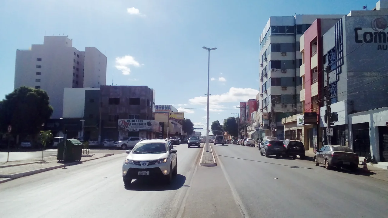
The Highway Saved Everything
The Salvador-Brasília highway changed Barreiras from a stranded river town into a strategic crossroads. BR-242 runs east to Salvador, 853 kilometers away. BR-020 runs southwest to Brasília, 622 kilometers away, and northeast toward Teresina and Fortaleza. Sitting at the junction of those two routes, Barreiras became an unavoidable stopover for any truck hauling goods across Brazil's interior. Irrigation projects financed by the federal government followed. The flat terrain and the predictable dry-and-rainy seasons turned out to be ideal for large-scale mechanized agriculture. From 20,864 inhabitants in 1970, the city grew past 120,000 and kept going. Today it approaches 160,000. That pace of expansion is what 'fastest-growing in Brazil' sounds like when you spell it out.
Soybeans Reshape the Land
Out of roughly 10,000 square kilometers currently planted in agriculture around Barreiras, soybeans cover about 67 percent - some 6,900 square kilometers producing 1.5 million tons a year, about 4.5 percent of Brazil's national production. Corn covers another 313 square kilometers. Cotton accounts for 136. Rice, sorghum, beans, and manioc fill out smaller acreages. Coffee has been the breakout crop of recent years, growing from zero to over 40 square kilometers planted in the area, with potential for a thousand square kilometers on existing central-pivot irrigation. Irrigated fruit - papaya, mango, coconut, guava, orange, lemon, tangerine - supplies both national and international markets. Lemons, mangoes, and papayas ship to Europe and Canada. Cattle ranching coexists with this crop boom - 55,215 head of bovines across improved pastures using embryo transfer and artificial insemination to upgrade genetic stock. The old system of loose herds has been replaced by precision agriculture.
Water, Waterfalls, and Weekend Escapes
For a city built on flat farmland, Barreiras has kept a surprising number of scenic waterways. The Acaba Vidas Waterfall on the Rio de Janeiro drops 36 meters of free-falling water through ferns and ancient trees in a landscape kept permanently damp by mist. The Redondo Waterfall reaches a pool of clear water through a path lined with buriti palms and dense forest. The Rio Grande itself, which founded the city and then failed it and now flows mostly for recreation, runs 551 navigable kilometers down to Barra where it meets the São Francisco. The Rio de Ondas - Waves River, named for the rapids and small waves in its clear waters - is a favorite weekend escape. Clubs, resorts, and small farms line its banks. Tourists float downstream in canoes and inner tubes. Locals escape the heat there. The old river-town heart of Barreiras has mostly been replaced by soybean country and highway logistics, but the water is still there, running past the rocky cliffs that gave the town its name.
From the Air
Located at 12.15°S, 44.99°W in western Bahia, elevation roughly 450 m. Recommended viewing altitude: 4,000-7,000 feet for a clear view of the soybean and cotton fields, the Rio Grande corridor, and the surrounding Serra Geral ridges. Barreiras Airport (SBRR) serves the city with regular flights to Salvador, Brasília, and São Paulo. Visual landmarks include the extensive central-pivot irrigation circles visible as distinctive green disks across the agricultural landscape, the rocky cliffs on the Rio Grande that gave the city its name, and the BR-242/BR-020 highway intersection. Hot, dry conditions prevail much of the year.
Nearby Stories
- Luís Eduardo Magalhães, Bahia 51 km away
- São Domingos, Goiás 146 km away
- Atlantic dry forests 172 km away
- Serra Geral do Tocantins Ecological Station 181 km away
- Manuscript 512 202 km away
- Campos Belos 220 km away
- Nascentes do Rio Parnaíba National Park 242 km away
- 1798 Revolt of the Alfaiates 264 km away