Serra Geral do Tocantins Ecological Station
The local people call it capim-dourado - golden grass - and they believe it needs to burn. For generations, families across this stretch of the cerrado have set fire to the grasslands every dry season, partly to clear pasture for cattle, partly because they are convinced Syngonanthus nitens grows best in ash. The science disagrees. But in a region where the population is among the poorest in Brazil and where the sale of handicrafts woven from those golden stems can mean the difference between subsistence and hunger, belief has weight that a scientific paper cannot match. This is the Serra Geral do Tocantins Ecological Station, and the fires are its greatest threat.
A Reserve the Size of a Small Country
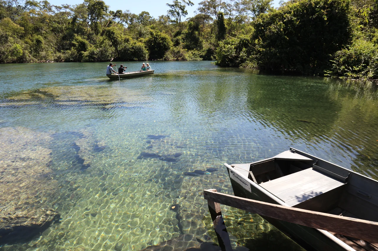
At 707,078 hectares, the ecological station is one of the largest strict nature reserves in Brazil. It stretches across the state line between Bahia and Tocantins, covering part of the Formosa do Rio Preto municipality in Bahia and the Almas, Mateiros, Ponte Alta do Tocantins, and Rio da Conceicao municipalities in Tocantins. Created on September 27, 2001, it is closed to the public - this is the strictest category of Brazilian protection, designed for scientific research rather than recreation. The landscape is a series of gently undulating plateaus, sedimentary formations rising from 300 meters to higher elevations on the escarpments, sitting atop the Urucuia aquifer - one of Brazil's great freshwater reserves, locked in ancient sandstone.
The Cerrado's Dry Pulse
This is savanna, not rainforest. Vegetation is 81% grassland, 17% scattered woodland, and just 1% forest. From May through September, rain hardly falls at all. Temperatures swing wildly between night and day, sometimes reaching 47 degrees Celsius when the afternoon sun pours down unimpeded. The rainy season, from October to April, brings about 1,600 millimeters of rain in concentrated bursts. Among the plants, 417 species have been recorded, including the threatened Myracrodruon urundeuva, whose bark has been harvested unsustainably for medicine, and the Buriti palm, Mauritia flexuosa, whose fan-shaped fronds mark the wet veredas - linear oases strung along groundwater seeps. Botanists have found an Ochnaceae near Morro do Fumo that may be a species entirely new to science.
A Menagerie of the Unusual
The animal life is extraordinary, and much of it endemic. The maned wolf prowls the open country on absurdly long legs, looking like a fox on stilts. The hoary fox hunts insects in the same thickets. Giant anteaters, tapirs, jaguars, capybaras, anacondas, and rattlesnakes share the habitat. A bat species, Thyroptera devivoi, has been found nowhere else on Earth. Two species of lizard - Bachia oxyrhina and Anops acrobeles - appear to be endemic. Birds include nine endemic species among the 700-plus species of the broader cerrado, along with the veery, a North American thrush that migrates here from November to February. In the closed woodlands and grasslands, the collared crescentchest, the curl-crested jay, and the coal-crested finch call through the dry air. For amphibians, insects, and fish, the list of species found only here keeps growing every year biologists come back.
Fire, Soy, and the Future
The threats are stacking up. Natural lightning fires once burned small patches at the start of summer, before rain put them out. The human fires come later in the dry season, when the grass is bone-dry and the wind is constant - so they last longer and spread farther. They happen during the breeding season of ground-nesting birds, and they destroy the food supply for the hawks and falcons that depend on small mammals. New highways connect Ponte Alta, Porto Nacional, and the state capital, Palmas, and every kilometer of asphalt brings squatters, soybean farmers, and cattle. The soil here is fragile. Without sewage treatment in the region's municipalities, waste leaks into the water table. Garbage piles up. The station sits at the core of the Cerrado Biosphere Reserve and the Jalapao ecological corridor, which includes the spectacular Jalapao State Park with its rust-orange dune fields. But protection on paper means little without enforcement, and enforcement in a place this large and this remote remains a constant struggle.
From the Air
Serra Geral do Tocantins Ecological Station is centered near 10.91 S, 46.62 W spanning the Bahia/Tocantins border. Terrain consists of undulating cerrado plateaus at 300 to 800 meters with sandstone escarpments visible from altitude. Watch for smoke plumes in dry season (May through September) - fire is a year-round feature and a hazard for VFR flight. Recommended viewing altitude 4,000 to 6,000 feet AGL for appreciating the flat savanna landscape. Nearest airfields: Palmas (SBPJ) to the northwest in Tocantins and Barreiras (SNBR) to the east in Bahia. Day/night temperature swings up to 30 degrees Celsius in dry season create strong turbulence.
Nearby Stories
- Jalapão State Park 75 km away
- Nascentes do Rio Parnaíba National Park 77 km away
- Luís Eduardo Magalhães, Bahia 98 km away
- Lajeado State Park 142 km away
- Palmas, Tocantins 161 km away
- Barreiras 174 km away
- Campos Belos 200 km away
- Minaçu 281 km away