Palmas, Tocantins
When Brazil's constitution created the state of Tocantins in 1988, there was no capital. There was no city. There was agricultural land along the Tocantins River, a bow-shaped valley at ten degrees south, and a government with a blank page. Palmas was founded in 1989 and built from the ground up as the new state's seat of power. It is the last capital city planned in twentieth-century Brazil, and its urban zoning openly copies Brasília - a symmetrical park at the center, a central avenue running north to south like a regional Monumental Axis, wide boulevards laid out in a grid. Today the city holds more than 300,000 people. From the air, the geometry is unmistakable. On the ground in September, the temperature climbs into the high 30s Celsius.
A City That Had to Be Drawn
Tocantins split from the state of Goiás under the 1988 constitution, creating a new federal unit in north-central Brazil with nowhere to put its government. The founders wanted to develop a relatively undeveloped region and bring jobs with it. They chose a site on the east bank of the Tocantins River, surrounded by low mountains on three sides, in a bow-shaped valley at 195 meters elevation. The city plan has a central park, wide avenues, and separate administrative and residential sectors. The main thoroughfare, Avenida Juscelino Kubitschek, runs east-west. Avenida Teotônio Segurado connects the North Director Plan to Taquaralto in the south. Ponte Fernando Henrique Cardoso crosses the Tocantins River, linking Palmas to highway TO-050. Planners preserved many of the original trees in green corridors between the avenues, so some street trees in Palmas are much older than the city itself. Man-planted palms line Avenida JK.
Cerrado Capital
The state name Palmas means palm trees, and the Akwẽ-Xerénte people who lived here long before call the place Akwẽ krikahâzawre wam hã. The city sits in the cerrado, Brazil's vast tropical savanna biome, where soils are old, deep, and naturally nutrient-poor. Despite being technically within the Amazon watershed, Palmas has no rainforest. The landscape around the city is classic cerrado scrubland - low, twisted trees with thick bark, grasses that brown in the dry season. Eighty-eight percent of the 9,931-hectare Lajeado State Park falls within the Palmas municipality, immediately east of the city on a plateau above the escarpment. The springs in that park help supply the city's drinking water. Beyond the park, the Serra do Lajeado Environmental Protection Area creates a larger conservation buffer that has so far held back urban sprawl from the plateau.
The Hottest Capital in Brazil
Palmas is often called the hottest capital city in Brazil, and during the May to September dry season the temperature climbs oppressively into the high 30s Celsius. The rainy season runs October to April, and counterintuitively those are the cooler months - the cloud cover and heavy rain keep temperatures down. Annual rainfall totals about 1,300 millimeters. The low elevation, the valley geometry, and the surrounding mountains all trap heat and humidity, intensifying the sense of warmth. Because Palmas sits in the Southern Hemisphere just south of the equator, it celebrates Christmas in summer, which is its rainiest and counter-intuitively coolest season. The driest season is Brazilian winter, June through August, when most days are clear and sunny. Spring is the hottest season, with September averaging over 30 degrees daily.
An Economy Written from Scratch
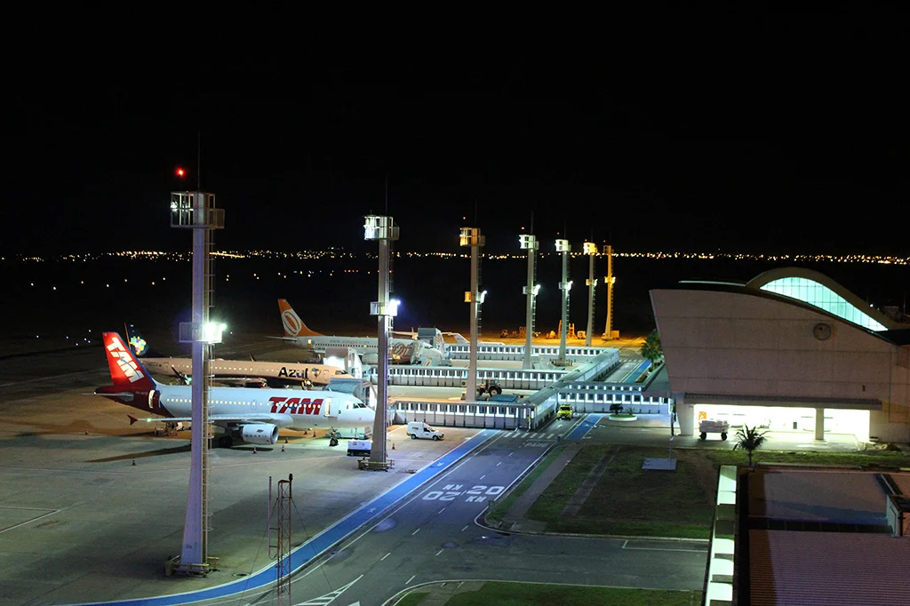
Palmas was designed to be the economic and administrative center of Tocantins, and the service sector is the main driver. Large farms growing soybeans and raising livestock cluster in the Buritirana district outside the city core. Micro-firms make up more than 80 percent of the roughly 4,394 companies in the city. Four industrial districts line the TO-050 and TO-010 highways. The city's trade influence stretches beyond the state itself into southeastern Pará, northeastern Mato Grosso, and southern Maranhão. The Capim Dourado Shopping mall opened in August 2010. Investments from hypermarket chains like Atacadão, Makro, and Assaí followed. Palmas Airport sits 30 kilometers from the city center and was planned for a population of one million, which is why it feels uncrowded today with only a few daily flights, mostly to and from Brasília. No passenger rail service reaches the city, though the North-South Railway runs nearby.
Indigenous Games and a Capital Still New
In August 2014, Palmas was chosen as the first host city of the World Indigenous Games, a multisport competition held in September 2015 that brought indigenous athletes from across the world to this very young Brazilian city. The choice felt symbolic. The planned capital, barely a generation old, hosting a celebration of peoples whose presence on this land predates every map Europe ever drew. Palmas has had five elected mayors since its founding. Eduardo Siqueira Campos was the first, from 1993 to 1996, and in late 2024 he was elected again, returning to office in 2025. The football club Palmas FR plays at Nilton Santos Stadium. Taquaruçu, a village in the cooler hills near the city, draws visitors to its waterfalls where locals swim and rappel. For a capital this young, Palmas already has the textures of a real place - young Brazilians in a young city, learning what it means to live somewhere that did not exist when their parents were born.
From the Air
Located at 10.19°S, 48.33°W in central Tocantins state, Brazil. Elevation 195 meters in a bow-shaped valley of the Tocantins River. Palmas Airport (SBPJ) lies 30 km from city center, with primarily regional service to Brasília (SBBR). City planned on a grid modeled on Brasília, with a central park and north-south axis clearly visible from altitude. Recommended viewing altitude 5,000-12,000 feet for city-level detail. Visible from altitude: the symmetrical urban grid unmistakable against the cerrado surroundings; the Tocantins River immediately west with Ponte Fernando Henrique Cardoso crossing it; Lajeado State Park on the plateau immediately east. Dry season (May-September) offers clearest skies but also the hottest temperatures.
Nearby Stories
- Tocantins 52 km away
- Ilha do Bananal / Cantão Environmental Protection Area 75 km away
- Jalapão State Park 81 km away
- Cantão State Park 140 km away
- Araguaia National Park 143 km away
- Serra Geral do Tocantins Ecological Station 143 km away
- Chapada das Mesas National Park 324 km away