Tocantins
In 1988, Brazil invented a state. Not all nations do this casually. Tocantins was carved out of the northern two-fifths of Goias by a new federal constitution - the same constitution that ended a military dictatorship and remade the country's institutional life - and the result was the youngest state in the federation. Its capital did not yet exist. Its government did not yet exist. Its identity was an act of political will more than a geographic certainty. Four decades later, Tocantins has filled in around its own outlines: a state of cerrado, rivers, and emerging cities, straddling the Amazon and the savanna with characteristics borrowed from both.
The Dunes of Jalapao
In the eastern part of the state, far from the Amazon and deep into the cerrado, lies one of the most improbable landscapes in Brazil. The Jalapao is a fragile, dry, hilly environment of bright orange sand dunes, seasonal rivers, and sudden waterfalls - a kind of desert that is not quite a desert, where palm oases thrive in valleys and off-road adventure tourists chase their first real isolation. Jalapao State Park protects this terrain. Capim-dourado, the golden grass, grows here and is woven by local artisans into jewelry and baskets that have become a signature craft of the region. The surrounding Serra Geral do Tocantins Ecological Station protects vast tracts of untouched cerrado, harboring the maned wolf, the hoary fox, and endemic amphibians found nowhere else.
The Rivers and the Island
Tocantins is river country. The Rio Tocantins itself has been dammed for hydropower, producing a large reservoir that has become a center of recreation, lined with beaches and weekend retreats. The Araguaia River forms the western border with Mato Grosso and Para, and where it meets the Rio das Mortes it splits around the enormous Ilha do Bananal - believed to be the second largest fluvial island in the world. Bananal is protected by Araguaia National Park and holds traditional Karaja communities whose ancestors lived here long before Portuguese arrival. Cantao State Park covers nearby wetlands, an area of igapo flooded forest that sits precisely where Amazon rainforest meets cerrado. During flood season, the forest drowns and canoes are the only way through; in the dry, the same trees stand over cracked mud.
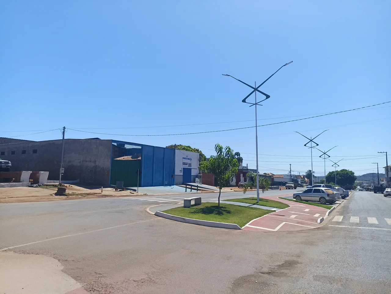
Palmas, the Eco-Metropolis
The capital, Palmas, markets itself as an eco-metropolis. This is partly accurate and partly aspirational. The planned city sits on a plateau beside the Tocantins reservoir, its streets laid out on a grid, its civic heart dominated by the enormous Sunflower Square. Several urban nature reserves and parks occupy the city itself, and the waterfalls of Taquarussu - cascading through forested ravines just outside town - provide easy weekend escapes. Tocantins's first capital, before Palmas existed, was the old river town of Porto Nacional, which still draws visitors for its beaches during the dry season and its historic center. The third largest city, Gurupi, serves as the regional hub for the southern part of the state. Each town grew into its role on a timeline faster than most Brazilian cities have ever experienced.
A State Between Biomes
Tocantins straddles the transition zone between the Amazon rainforest and the vast central Brazilian savanna. The climate is hot and semi-humid with pronounced seasonality, a dry winter from May through October, and heavy rains from November through April. This dual biomes character gives Tocantins a biological richness that few states can match - jaguars, cougars, and giant armadillos share range with tapirs, howler monkeys, and black-tufted marmosets. Large birds like guan, seriema, and black-chested buzzard-eagle fill the skies where cerrado opens into grassland. The state is home to Carajas indigenous reservations and stretches of forest still being mapped. Palmas-Brigadeiro Lysias Rodrigues Airport connects it to Sao Paulo, Rio, Brasilia, and Salvador, and the Belem-Brasilia Highway runs its length, linking the mouth of the Amazon to the federal capital 1,900 kilometers south. A young state with old geography - Tocantins exists where it does because Brazil decided it needed to, and the land obliged.
From the Air
Tocantins state covers approximately 277,720 square kilometers in central-northern Brazil, centered near 9.42 S, 48.15 W. The Tocantins River runs north-south through the state with a major reservoir system. The Araguaia River forms the western border and contains Ilha do Bananal, one of the world's largest inland river islands. Palmas-Brigadeiro Lysias Rodrigues Airport (SBPJ/PMW) is the primary airfield, 20 km from downtown Palmas. Secondary airports serve Porto Nacional, Gurupi, and Araguaina. Terrain is rolling cerrado plateau with river valleys - elevations mostly 200 to 600 meters. Recommended cruising altitude 8,000 to 12,000 feet. Dry season May through October offers excellent VFR; wet season brings strong afternoon convection. Watch for biomass smoke in dry season degrading visibility.
Nearby Stories
- Lajeado State Park 56 km away
- 2021 Palmas FR Plane Crash 57 km away
- Jalapão State Park 78 km away
- Ilha do Bananal / Cantão Environmental Protection Area 115 km away
- Nascentes do Rio Parnaíba National Park 186 km away
- Chapada das Mesas National Park 240 km away
- Juscelino Kubitschek de Oliveira Bridge 293 km away
- Serra dos Martírios/Andorinhas State Park 334 km away