Ilha do Bananal / Cantão Environmental Protection Area
There is a strange zone in central Brazil where four of the country's great ecosystems collide. Amazon rainforest bleeds into cerrado savanna. Cerrado meets pantanal wetland. Pantanal touches fragments of Atlantic Forest. Biologists call this an ecotone, a place where biomes overlap - and because species from each push into the others' edges, ecotones tend to concentrate extraordinary diversity. The Ilha do Bananal and Cantão region of western Tocantins is perhaps the most remarkable ecotone in South America. Its protection is spread across a patchwork of reserves, but the largest of them is the Ilha do Bananal / Cantão Environmental Protection Area, a 1.7 million hectare mosaic that serves as the region's vast connective tissue.
Nine Municipalities, One Mosaic
The APA - a Brazilian land designation standing for Área de Proteção Ambiental, meaning environmental protection area - sprawls across nine municipalities in western Tocantins, from Pium in the north to Abreulândia in the south. It is the largest protected area in the state by a considerable margin. Unlike a national park or strict reserve, an APA permits economic activity, provided it is planned and regulated. In practice, this means the region functions as a working landscape - cattle pasture, small farms, fishing communities, riverine villages - overlaid with conservation mandates of varying strictness. The arrangement is pragmatic. It acknowledges that any line drawn on a map here will bisect the lives of people who have been fishing, farming, and hunting in these wetlands for generations.
The Inland Delta
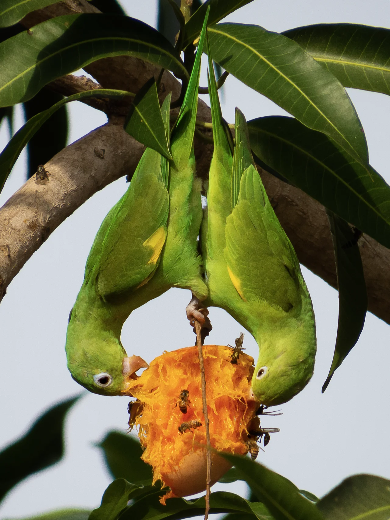
The ecological heart of the region is the Cantão, an inland delta of the Javaés River containing more than 800 lakes and channels that fill and drain with the annual floods. Cantão State Park, nestled inside the larger APA, is one of the most important protected zones in the Brazilian Amazon. During the flood season, the river system expands into a labyrinth of shallow water where jaguars hunt caimans and giant otters patrol the main channels. In the dry season, the water retreats to leave oxbow lakes behind - isolated pools that fishers have been harvesting for centuries. The Coco River marks the boundary between the state park and the APA; the Javaés defines the boundary between the APA and the even larger Araguaia National Park, which lies to the west on the Ilha do Bananal itself - the world's largest river island.
A Near Loss
The APA was created by state law 907 on 20 May 1997, along with its co-management council. In 2004, the state government attempted to gut it. A bill was introduced to reduce the APA by more than eighty percent to make room for agricultural expansion - effectively eliminating protected status across most of the region. The legislature approved the reduction. A coalition of university students, teachers, and non-governmental organizations pushed back with a manifesto pointing to the hundreds of families and traditional communities living inside the APA, and to species still unknown to science. The federal court in Tocantins suspended the law. The APA survived, though the fight left scars. Five years later, rules for conserving the region's freshwater turtles - a traditional protein source for riverine communities - were finally codified. In 2013, the management plan was still being revised.
A Landscape of Zones
The APA is divided into four kinds of land-use zone. Special use zones, the smallest at about 1.3 percent, cover urban edges and built-up areas. Economic development zones, by far the largest at 65 percent, permit agriculture and ranching under sustainable guidelines. Wildlife conservation zones, at 17.5 percent, impose tighter protections and support recovery projects. Wildlife preservation zones, covering another 16 percent, are meant to remain essentially untouched. The vegetation map across the APA reflects this complexity: roughly 27 percent is savanna-contact rainforest, 12 percent open rainforest, and 8 percent dense rainforest, with the remainder a patchwork of cerrado, floodplain grassland, and transitional formations. The mix of land uses makes enforcement complicated, but it also reflects the reality of a place where communities and ecosystems have long been intertwined.
COAFA and the Future
Out of the 2003 survey project - which was itself cut short - emerged COAFA, the organization of agricultural families of the APA. It was a small institutional win in a larger story of attrition. The families who live inside the protected area are neither invaders nor obstacles to conservation. Many of them have been here far longer than the state lines, and any serious attempt to keep the ecotone intact depends on their participation. Flying over the region during the dry season, the Javaés River glitters in narrow channels between pale floodplain grass, and dark forest islands rise where higher ground resists the flood. The light is hard, the air dry, the scale vast. Every year, the water returns. The mosaic holds, for now, because enough people - in Brasília, in Palmas, in villages along the rivers - believe it is worth holding.
From the Air
Located at 9.66°S, 49.53°W in western Tocantins, Brazil. The APA surrounds Cantão State Park and lies adjacent to Araguaia National Park on the Ilha do Bananal (the world's largest river island). Best viewed from 8,000-12,000 feet AGL. The labyrinthine inland delta of the Javaés River is visually striking, particularly during the wet season (November-April) when the floodplain expands dramatically. Nearest airport is Palmas (SBPJ/PMW), approximately 180 km east.
Nearby Stories
- Cantão State Park 20 km away
- 2021 Palmas FR Plane Crash 51 km away
- Araguaia National Park 78 km away
- Tocantins 81 km away
- Chapada das Mesas National Park 319 km away
- São Geraldo do Araguaia Environmental Protection Area 348 km away
- Carajás National Forest 363 km away