_-_Campos_Belos.jpg)
Campos Belos
Stand at the north edge of Campos Belos and you cross a state line. Step east and you cross another. This small city in the extreme corner of Goiás state pushes against Tocantins to the north and Bahia to the east - three Brazilian states meeting in a landscape where the tropical savanna of the cerrado gives way to the dry thorny scrub of the caatinga. The town began with a chapel. In 1881, local cattle ranchers donated land for a small church dedicated to Our Lady of the Conception. A settlement grew around it. A district followed in 1889. A city, finally, in 1953. What was once a tiny frontier crossroads has become a commercial anchor for thousands of square kilometers of backlands.
Where Two Biomes Meet
Few landscapes in Brazil change as sharply as the transition around Campos Belos. To the south and west stretches the cerrado - twisted trees with thick corky bark, wide grasslands, seasonal rivers, and a sky that turns brassy under dry-season sun. To the east, across the border into Bahia, the caatinga takes over: lower, spinier, drier, a biome that can go months without rain and whose trees drop their leaves to survive drought. The town sits in the overlap, with low mountains rising on most sides. This ecological seam is less famous than the Amazon or the Pantanal, but it is one of the most fascinating contact zones in South American ecology - two radically different ways of being a plant, in conversation along a shifting frontier.
Gold That Wasn't There
What brought the first permanent settlers was mineral wealth, or the hope of it. Deposits in the area included crystal, calciterite, iron, gold, and even uranium. The mining rush that shaped Cavalcante to the south never quite extended here, but prospectors came through, and some stayed. By the late 19th century, cattle had taken over as the main economic base. Today's herd - about 55,700 head - is larger than the human population. Farms stretch across 47,987 hectares. Only 1,500 hectares are planted in corn, the main crop. Most of the land is pasture or unbroken cerrado, and the scale of ranching here gives the landscape the feel of a much emptier Brazil than the coastal cities suggest.
The Brasília Effect
What transformed Campos Belos was not minerals or cattle but the construction of Brasília, 600 kilometers to the southwest. When Kubitschek's new capital rose from the cerrado in the late 1950s and was inaugurated in 1960, the entire region of northeastern Goiás found itself suddenly nearer to a national center of gravity. Roads followed. Banks followed. By the end of the 1970s, Campos Belos had its first banking agencies - BRADESCO, Banco do Brasil, Banco Itaú. In the 1980s it joined the national telephone network. What had been a remote cattle-and-chapel town became plugged into the modern Brazilian economy, through the long effects of a decision made hundreds of kilometers away.
An Interstate Town
The second transformation came in 1988, when Brazil split Goiás state and created Tocantins from its northern half. Campos Belos found itself suddenly on an international-feeling border - a Goiás town serving an entirely new state to the north. Tocantins had no developed commercial infrastructure when it was created, so Campos Belos became its de facto supplier, the closest town with banks, supplies, and services. The 1990s saw the town boom as it grew into this role. With the construction of Palmas as the new Tocantins capital, Campos Belos also became a gateway - one of the points where the road network turns north into Brazil's least-developed interior. The highway BR-242 runs northeast from here into Bahia. The state university of Goiás opened a campus in 2000, initially offering a single course in Letters. Today, with about 800 students, it teaches Letters, Pedagogy, Geography, and Mathematics - a modest but real intellectual anchor on what is otherwise still a deeply rural frontier.
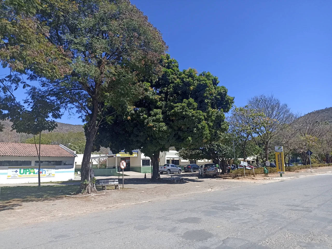
Low Mountains and Big Sky
What visitors notice first about Campos Belos is its setting. Low mountains surround the town on most sides, breaking the otherwise flat cerrado plateau. The Human Development Index here sits at 0.708 - 201st out of 242 Goiás municipalities, middling for the state but much better than many of its neighbors in Tocantins and Bahia. Literacy was 82.4 percent at the 2000 census. Two hospitals with 55 beds between them serve the town. The economy is still built on cattle and corn, but commerce has become the real engine - supplying the region, moving goods between states, keeping three bank branches busy. Campos Belos is not a tourist town. It is a working town, the kind of quiet commercial hub that stitches together the vast geography of interior Brazil.
From the Air
Coordinates: -13.037°S, -46.772°W. Campos Belos sits at the border junction of Goiás, Tocantins, and Bahia states, about 600km from Goiânia and 460km northeast of Brasília. Low mountains surround the town. Nearest major airports: Brasília (SBBR) to the southwest, Palmas (SBPJ) to the north in Tocantins.
Nearby Stories
- São Domingos, Goiás 11 km away
- Cavalcante 75 km away
- Cerrado 76 km away
- Minaçu 95 km away
- Luís Eduardo Magalhães, Bahia 105 km away
- Posse, Goiás 111 km away
- Serra Geral do Tocantins Ecological Station 216 km away
- Palmas, Tocantins 309 km away