.jpg)
Posse, Goiás
Posse means "possession" - as in, we took this. In 1830, settlers fleeing malaria in a lower-altitude settlement called Buenos Aires climbed to higher ground at the foot of the Serra Geral and simply seized land along the Passagem do Gerais stream. No one else was there to stop them. They renamed themselves after what they had done: Posse, possession of land they had claimed by being the first to survive on it. Almost two centuries later, the town still functions by taking advantage of geography - sitting 24 kilometers from the border with Bahia, positioned on the highway that runs between Brasília and Salvador, it serves a commercial region that stretches well beyond its own state lines.
The Buenos Aires that Failed
The first wave of settlers came to this part of northeastern Goiás in the mid-19th century, fleeing the periodic droughts of Brazil's Northeast in search of the fertile lands around the Rio Paranã. Many of the pioneers were of Argentinian or Portuguese descent, and the names they gave to the waterways still carry that origin: Rio Corrente, Rio Prata, Porto Buenos Aires. The first settlement was called Buenos Aires, located in the bottomland where the Rio Corrente joined the Rio Paranã. It should have worked - fertile floodplain, river access, good soil for cattle. But the location was too low and too wet, and malaria arrived with devastating effect. The settlers who survived retreated uphill to higher, drier ground at the foot of the Serra Geral. Nazário da Silva Ribeiro built a chapel there, dedicated to Nossa Senhora Santana. In 1830 the new settlement was named Posse - possession - because the residents had claimed the land along the Passagem do Gerais stream as squatters do, by simply arriving and staying.
From District to Municipality
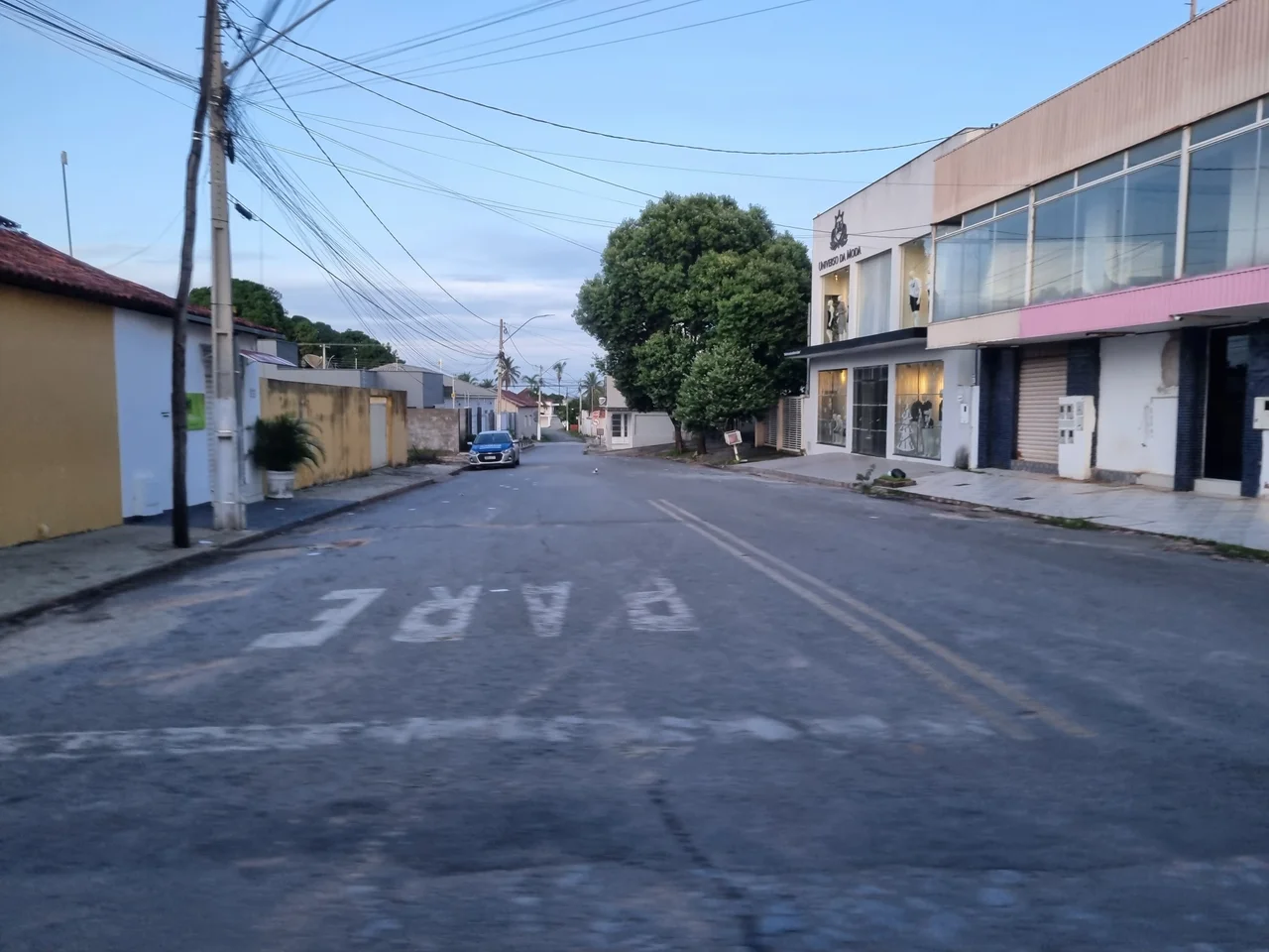
For decades Posse remained a district of the larger municipality of São Domingos, its administrative neighbor to the east. In 1872 it won autonomy, and the name was shortened from the full ecclesiastical form - Nossa Senhora Santa de Posse - to just Posse. Growth remained slow. The town was far from the state capital, distant even from the major highways of the era, and most of its economic connections ran east into Bahia rather than west into Goiás. For most of its history the people of Posse felt closer to Salvador than to Goiânia, closer to the Bahian interior than to the central plateau. What changed that was the Brasília-Salvador highway - BR-020, built in 1970 - which ran directly past the town and finally gave Posse a reason to prosper. Highway construction always had that double edge in central Brazil: it connected you to the country, but it also pulled your economy into someone else's orbit.
Water, Stone, and Waterfalls
Posse sits at the foot of the Serra das Araras, with an average temperature of 25 degrees Celsius and mineral-water springs coming straight off the mountain. The eastern part of the municipality is crossed by the Rio Paranã and its tributaries, creating what locals call a vão - a gap, a valley - that stretches from the upper river to the plateaus surrounding it. The lands are fertile, with natural phosphate in the soil acting as a free fertilizer. Hardwood forests produce cedar, aroeira, ipê, peroba, and braúna. Waterfalls dot the landscape: the Rio Água Quente drops over Fazenda Quebradas, the Rio Prata cascades through Fazenda Campo Bonito, the Rio Piracanjuba falls at Fazenda Santo Antônio, and the Rio Buriti at the ranch of the same name. Much of this, as is common in rural Goiás, is privately owned - visiting often means driving a dirt road to a fazenda and asking permission.
The Bahia Connection
The economy of Posse runs on an unusual pattern: most of its customers are from another state. The town serves a population of roughly 50,000 people when you include the population of western Bahia that crosses the state line to shop. Bahian farmers arrive for machinery, seeds, fertilizer, and supplies; Posse businesses stock for them specifically. Although those farmers have their farms in Bahia, many of the largest ones - often originally from southern Brazil - actually live in Posse, which is closer to services and better connected by highway. The town's second economic engine is cattle: 109,500 head in 2006, spread across 946 farms covering about 78,950 hectares. Corn, planted on 2,300 hectares and producing 4,600 tons in a typical year, is the largest crop. Rice, bananas, sugarcane, beans, and manioc fill out the agricultural mix. Twelve of the state's 242 municipalities are poorer on the Human Development Index - Posse ranked 194th with a 2000 score of 0.711 - but its commercial footprint is larger than its HDI suggests, precisely because it draws business from across the Bahia border.
A Goiás That Looks East
From Goiânia, Posse is 515 kilometers away by a circuitous route - BR-153 to Anápolis, BR-060 south, then past Planaltina and Formosa to BR-020, finally turning off at Vila Boa and Alvorada do Norte. That route takes most of a day. Bahia, by contrast, is a short drive across the state line. This has shaped politics, culture, and trade for as long as Posse has existed. The town's identity is frontier - the kind of place where state lines matter less than river basins, where the people you depend on are often people from another state, and where the shortest path to anywhere significant almost always leaves Goiás entirely. In 2024 the town elected a new leadership. The hospital with its 62 beds, the 44 schools with their 9,869 students, the single bank branch - they all run on the same premise they always have. Stay on this side of the divide. Trade across it.
From the Air
Coordinates 14.09°S, 46.37°W. Located in northeastern Goiás at the foot of the Serra das Araras, 24 km from the Bahia state line, on BR-020 (Brasília-Salvador highway). Brasília is about 450 km to the southwest, Salvador about 860 km east. Nearest major airports: Brasília International (SBBR) to the southwest and Barreiras (SNBR) to the northeast in Bahia. Recommended viewing altitude 5,000-8,000 feet AGL to see the Paranã valley and Serra das Araras escarpment.
Nearby Stories
- Mambaí 15 km away
- São Domingos, Goiás 55 km away
- Monte Alegre de Goiás 72 km away
- Alto Paraíso de Goiás 81 km away
- Formosa 139 km away
- Cavernas do Peruaçu National Park 168 km away
- Atlantic dry forests 185 km away
- Barreiras 208 km away