Monte Alegre de Goiás
On the slopes above the Parana River valley live people whose ancestors ran. They are called Kalunga, and their quilombo communities have survived in these vaos - the steep-sided valleys of northeastern Goias - for more than two hundred years. Monte Alegre de Goias is one of three municipalities where they still live. The town itself is small, poor, remote; in one national measure it ranked third from last among Brazil's five thousand municipalities on development indicators. But it holds an extraordinary story, and an extraordinary landscape: the Serra da Contenda to the north, fifty caves in a 90-percent-preserved forest called Sumidouro, and nine rivers that all flow north to the Tocantins.
How the Kalunga Got Here
The bandeirantes came up from Sao Paulo in the 1760s looking for gold. They found it in the broken country around what was then called Morro do Chapeu - Hat Hill. The first settlers arrived around 1769 and built a chapel to Santo Antonio, giving the place its first name, Santo Antonio do Morro do Chapeu. With them came roughly 2,000 enslaved Africans, forced labor for the mines and ranches. Some of them ran. They fled into the remote valleys and steep hillsides where pursuit was difficult and survival, if only barely, was possible. Those runaway settlements became the Kalunga quilombos - Contenda, Vao das Almas, Vao dos Moleques, Ribeirao dos Bois - communities that maintained themselves across generations, holding on to Afro-Brazilian cultural traditions that elsewhere were ground away. Today the Kalunga are recognized as one of Brazil's oldest surviving quilombola populations, and their territory spans the three neighboring municipalities of Cavalcante, Monte Alegre de Goias, and Teresina de Goias.
Caves and Rivers
The landscape that sheltered the Kalunga is itself remarkable. The Sumidouro forest, spreading through the northern part of the municipality, contains around fifty caves and has stayed roughly 90 percent preserved in an era when Goias has lost most of its cerrado to soy and pasture. The Serra da Contenda rises north of the town, a ridge that gives the quilombo its defended quality. Nine rivers - the Parana, Manso, Sao Domingos, Bezerra, Prata, Sarzeda, Pagao, and the smaller tributaries - all drain north, feeding the larger Parana which eventually merges into the Tocantins. The vegetation is classic cerrado, twisted trees with thick corky bark and intense dry-season fires, gallery forest lining every watercourse, orchids in the wet months.
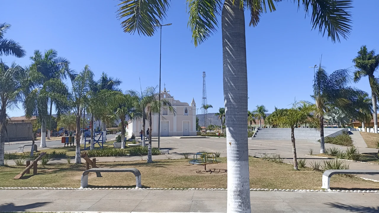
From Hat Hill to Happy Mountain
The town's own history is tangled. Founded by the Santo Antonio chapel, it wore the name Santo Antonio do Morro do Chapeu for nearly two centuries. In 1957 a bureaucratic relabeling swept through Brazil's interior, and the municipality was renamed Monte Alegre de Goias - happy mountain. The new name has a cheerful ring that sits oddly against the town's statistics. By 2000 Monte Alegre ranked 240 out of 242 Goias municipalities on the Human Development Index, and 4,205 out of 5,507 nationally. Infant mortality in 2000 ran at 45.34 per thousand live births, well above the state average. The adult literacy rate was 75.8 percent, among the lowest in Goias. There are no institutions of higher education. There is one hospital with fifteen beds.
Cattle on the Cerrado
What the municipality has is land - 175,000 hectares of it, most of it pasture. There are 121,200 head of cattle, including 5,400 milk cows. The farms grow rice, sugarcane, beans, manioc, and 1,800 hectares of corn planted each year, most of it for cattle feed during the dry months when native grasses fail. This is the economy that keeps Monte Alegre on the map - the slow churn of a ranching municipality in a difficult climate on poor soils. The municipality sits 568 kilometers from the state capital, Goiania, reached by a tangled sequence of highways that eventually funnel onto the GO-118 north. It is 31 kilometers south of the Tocantins state line, and its neighbors are places with names like Cavalcante and Nova Roma - towns whose populations have also slowly ebbed away.
A Place Worth Seeing
Monte Alegre de Goias is not on any major tourist itinerary. Its chapada dos Veadeiros neighbors - Alto Paraiso, Cavalcante itself - get the visitors who come for waterfalls and crystal mountains. But the Kalunga quilombos are starting to open carefully to outside visitors; the Sumidouro forest draws a trickle of speleologists; the rivers draw fishermen. What the municipality preserves is something rarer than scenery: a continuous thread of Afro-Brazilian community that survived enslavement, isolation, poverty, and the slow machinery of assimilation. The Kalunga are still here. Their ancestors ran to this country because no one else wanted it. Two and a half centuries later, their descendants live on the same hillsides, among the same forests, beside the same rivers that still flow north toward the Tocantins.
From the Air
Located at 13.26 S, 46.89 W in northeastern Goias, Brazil, 568 km from state capital Goiania, 31 km south of the Tocantins state border. From the air the Serra da Contenda is visible as a ridge to the north; the Sumidouro forest shows as a dense green patch. The Kalunga quilombo territories extend south through the Parana River valley toward Cavalcante. Nearest airport is Palmas (SBPJ) in Tocantins state, about 270 km north. Best viewed in dry-season clear conditions (May-September).
Nearby Stories
- São Domingos, Goiás 17 km away
- Cerrado 58 km away
- Posse, Goiás 62 km away
- Cavalcante 64 km away
- Minaçu 87 km away
- Luís Eduardo Magalhães, Bahia 121 km away
- Barreiras 231 km away
- Palmas, Tocantins 328 km away