Cavalcante
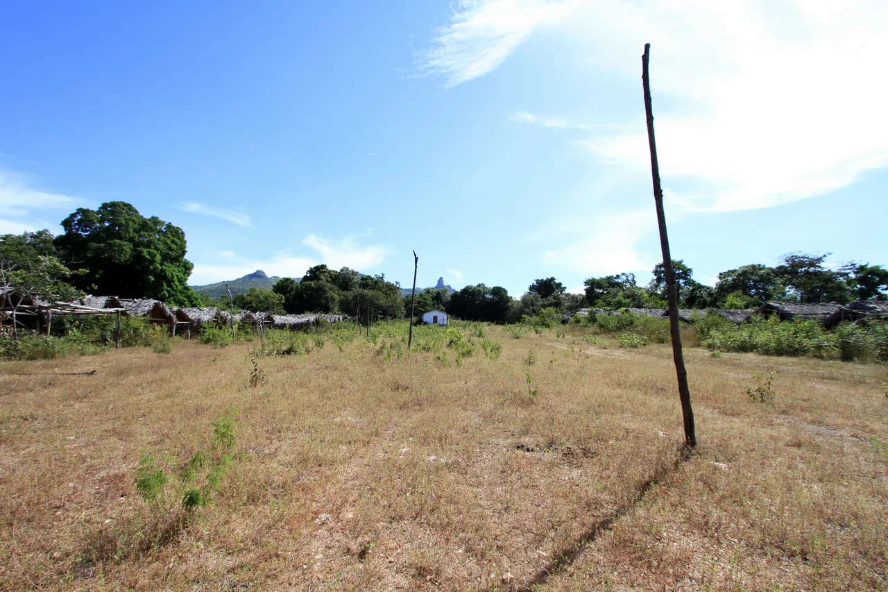
Cavalcante sits where two Brazils meet. To the south stretches the Chapada dos Veadeiros - crystalline plateaus, white sand rivers, and some of the oldest exposed rock on Earth, now protected as a national park. To the north and east stretches a different country within a country: the Kalunga lands, where descendants of people who escaped slavery two centuries ago still live in valleys most Brazilians have never heard of. The town is small - about 10,000 people - but it anchors some of the most distinctive landscapes and communities in interior Brazil.
Oldest Town in the Chapada
Diogo Teles Cavalcante officially founded this town in 1740, making it the oldest municipality in the Chapada dos Veadeiros. The gold rush that drew him here is long gone - the Lava Pés stream stopped yielding meaningful ore by 1806 - but the colonial street grid and some of the old architecture remain. Elevation here ranges wildly: from 360 meters up to more than 1,600 meters inside the national park. Cavalcante territory includes more than 60 percent of the Chapada dos Veadeiros National Park, which means much of what tourists come to see - the waterfalls, the quartz plateaus, the cerrado wildlife - technically falls within the municipality's boundaries. In the mid-20th century, Cavalcante was the largest wheat exporter in Brazil. That era passed too. Today livestock, mining, tourism, and hydroelectric power drive the economy.
Kalunga Country
The Kalunga people have lived in these mountains for generations - approximately 4,500 people today, spread across parts of Cavalcante, Monte Alegre de Goiás, and Teresina de Goiás. Their ancestors were enslaved Africans who escaped from plantations in the 18th and 19th centuries and took refuge in these remote valleys, building communities called quilombos. They lived in near isolation until the 1960s, developing their own dialect, their own variant of rural Catholicism interwoven with African spiritual practice, and a deep knowledge of the cerrado landscape. Visiting the main Kalunga centers - Contenda, Vão do Calunga, Vão de Almas, Vão do Moleque, Ribeirão dos Bois - requires time, respect, and usually a local guide. The communities are known for their festivals, their hospitality, and their continuing effort to preserve the territorial and cultural rights they fought centuries to secure.
Waterfalls, Many of Them
The country around Cavalcante is corrugated by water. More than 150 cataloged waterfalls fall within the municipality's boundaries - most of them reachable only on foot, down trails that pass through cerrado forest and over crystalline rock. The Santa Bárbara waterfall is among the most photographed - a blue-green pool fed by a slender cascade dropping from a cliff face. The Rock Bridge - Ponte de Pedra - is a natural arch carved through layered stone. Most waterfalls require a guide to visit, not because the trails are dangerous in themselves but because cell phone coverage vanishes quickly and the landscape is vast and easy to get lost in. Guides available through the Tourist Information Center can also provide camping support, bringing tents, handling cooking, and interpreting the landscape that has supported their ancestors for three centuries.
Getting There
Cavalcante is 320 kilometers north of Brasília - a six-hour bus ride on Empresa Santo Antonio's two daily services from the Rodoferroviária. By car, the route runs BR-020, then DF-345, then BR-010 for 225 kilometers, then GO-241 for the final 21 kilometers. The roads are paved but narrow, climbing slowly from the plateau around Brasília into the cerrado highlands of Goiás. The town itself is small enough to walk or bike around, but reaching the waterfalls and Kalunga communities requires a vehicle. Most visitors use Cavalcante as a base for several days of hiking, coordinating with guides each morning. It is not a place you rush through.
Rural Goiás in Rhythm
Unlike the more tourist-oriented Alto Paraíso de Goiás or São Jorge to the south, Cavalcante has a much more traditional rural Goiás feel. Cattle graze at the edge of town. The main cultural activities are religious processions and pilgrimages, traditional dances like lundu and sussa with African roots, and two annual festivals - the Festival of Instrumental Music in August and the Ethnographic Film Festival in December. There is a basic tourism infrastructure: pousadas, a handful of restaurants, guides, and a tourist information office. There is also a deep silence that settles over the town at night, the kind of darkness and quiet you can only find far from Brazil's coastal cities. The Kalunga festivals, which visitors can sometimes attend with permission, are where the town's deepest cultural layers become visible.
From the Air
Coordinates: -13.798°S, -47.458°W. Cavalcante sits 320km north of Brasília in northern Goiás, at the northern edge of Chapada dos Veadeiros National Park. Elevation varies from 360m to over 1,600m. Nearest major airport: Brasília (SBBR). The surrounding quartz-rich plateaus are visible from cruising altitude in clear weather.
Nearby Stories
- Alto Paraíso de Goiás 26 km away
- Posse, Goiás 42 km away
- Minaçu 44 km away
- São Domingos, Goiás 50 km away
- Monte Alegre de Goiás 52 km away
- Niquelândia 83 km away
- Mambaí 104 km away
- Mara Rosa 149 km away