Basilan
Antonio Pigafetta, chronicler of the Magellan Expedition, recorded the island's name as Taghima. European mapmakers tried Tanguima, Taglima, Tagimar, and Tagyto before a Jesuit historian, Father Colin, settled on Basilan. The Yakan people, the island's indigenous inhabitants, had their own names: Uleyan, after the great peak now called Basilan Peak, and later Matangal, after a mountain farther east. Each name was a claim of ownership. The island has been claimed by many: by the Yakan, the Tausug, the Chavacano, the Spanish, the Americans, the Japanese, and the Philippine government. It has rarely been at peace long enough for any single claim to go unchallenged.
Three Peoples, Four Languages
Basilan is home to three main ethnolinguistic groups whose coexistence defines the island's character. The Yakan, the indigenous people, comprise about 41 percent of the population, predominantly Muslim, controlling local governments outside the two cities. The Tausug, who arrived later from the Sulu islands, are also Muslim and control roughly 90 percent of the aquatic harvest. The Chavacano, descendants of Spanish-era settlers, are mainly Christian and serve as the island's linguistic bridge. Chavacano, a Spanish-based creole, functions as the lingua franca, spoken and understood by 80 percent of residents. Tausug is spoken by 70 percent, Yakan by the highland communities, and Cebuano by various settlers. It is a place where switching languages mid-sentence is unremarkable, where the market operates in four tongues simultaneously.
The Rubber That Built an Economy
Around 1914, an American named Dr. James W. Strong cleared vast tracts of Basilan's northern plains and established what became the Philippines' first commercial rubber plantation. After consulting with Father Zamora, a botanist at the University of Santo Tomas in Manila, Strong began experimenting with rubber plants in 1910, forming the American Rubber Company. Other American and international investors followed: B.F. Goodrich and Sime Darby Tires became major presences. At its peak, Basilan's rubber industry rivaled those in British Malaya. The island also produced coconut, copra, coffee, black pepper, and African palm oil. Then in 1988, under President Corazon Aquino, Congress passed the Comprehensive Agrarian Reform Program. The law dissolved the corporate plantations, distributing land to workers who lacked the capital and expertise to maintain industrial-scale production. The multinationals withdrew almost immediately. The collapse of plantation agriculture left a vacuum that poverty and insurgency quickly filled.
The Insurgency and Its Consequences
The Moro uprising of 1971, led by the Moro National Liberation Front's Nur Misuari, arrived in Basilan from Sulu and upended the island's fragile balance. President Ferdinand Marcos declared martial law in 1972. The decree that created Basilan as a separate province came in the same year, splitting it from Zamboanga del Sur. The Yakan uplanders found themselves battling Tausug lowlanders in pocket wars throughout the 1980s. When the Abu Sayyaf group emerged in the early 1990s, it established a base in Basilan that would make the island infamous. Abu Sayyaf's kidnappings, bombings, and beheadings drew international attention and military response, including the Balikatan exercises that brought American Special Forces to Isabela City in 2002. The insurgency devastated an economy that had never recovered from the loss of its plantations.
Bellwether in the Margins
Despite its distance from Manila and its reputation for instability, Basilan has been one of the most accurate bellwether provinces in Philippine politics. In five consecutive presidential elections, the province voted for the winning candidate: Ferdinand Marcos in 1965 and 1969, Corazon Aquino in 1986, Fidel Ramos in 1992, Joseph Estrada in 1998, and Gloria Macapagal-Arroyo in 2004. Its vice presidential choices were equally prescient. This pattern suggests that Basilan's voters, far from being disconnected from national politics, have been remarkably attuned to the broader Filipino electorate. The island's political dynamics, however, are dominated by clan rivalries and economic power: the small Chinese community controls retail commerce, Christians own 70 percent of arable land despite comprising only 33 percent of the population, and the Tausug command the seas.
Outside the Typhoon Belt
Basilan lies outside the Philippines' typhoon belt, giving it a climate distinct from much of the archipelago. Annual rainfall averages 1,100 millimeters, with a mean temperature of 26.6 degrees Celsius. The southwest monsoon and the island's position in the Intertropical Convergence Zone drive the rainfall pattern. March through May runs hot and dry, June through October brings rain, and November through February cools to a pleasant average of 22 degrees. Prevailing winds blow from the southwest at about four knots. This relative meteorological calm belies the human turbulence that has defined the island. The Lami-Lamihan Festival, celebrated on the Feast of St. Peter in Lamitan, draws Yakan people in full regalia to sell wares and produce from their highland farms, a reminder that beneath the headlines, daily life on Basilan revolves around harvests, markets, and the sea.
From the Air
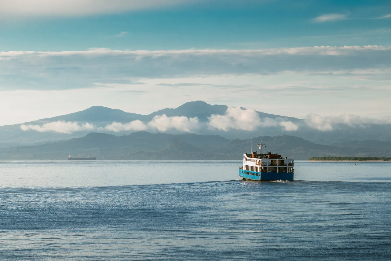
Coordinates: 6.567°N, 122.033°E. Basilan is the largest and northernmost island of the Sulu Archipelago, visible just south of the Zamboanga Peninsula. Isabela City on the northern coast faces Zamboanga City across the strait. The island is roughly 50 km east-west and 30 km north-south. Basilan Peak (Puno Mahaji) is the most prominent terrain feature. No major commercial airport operates on the island; access is primarily by sea ferry from Zamboanga City (RPMZ). Ferries depart every 30 minutes. Be aware of military operations in the area.
Nearby Stories
- Taluksangay Mosque 11 km away
- Patikul Massacre 66 km away
- 2021 Philippine Air Force C-130 Crash 91 km away
- 1955 Lanao Earthquake 103 km away
- First Battle of Bud Dajo 128 km away
- Jose Rizal's Farm 222 km away
- November 2023 Mindanao Earthquake 273 km away
- Tubbataha Reef 304 km away