
Battle of Fayetteville (1862)
In September 1862, while Robert E. Lee was marching his army across the Potomac toward Maryland, a quieter Confederate offensive was rolling through the mountains of what was about to become West Virginia. Confederate major general William W. Loring had been ordered to drive Union forces out of the Kanawha Valley, and on September 10, his troops met a small Union garrison at Fayetteville. The fighting was brief by Civil War standards, but the Confederates carried the field, opening a road that allowed them to push north toward Charleston. Loring's men would hold the valley for less than a month before withdrawing - but those few weeks in the autumn of 1862 mattered, and they cost lives on both sides of the ridge.
A Valley Worth Taking
The Kanawha Valley had become strategically important by 1862 not just for its rivers and roads but for its salt and its loyalties. The new state of West Virginia, formally admitted to the Union in 1863, was being born out of these very mountains. Union forces under brigadier general Jacob Dolson Cox had held the valley since the previous autumn, but in early September 1862, Confederate command sent Loring with a brigade-sized force to retake it. Cox had been called east to reinforce John Pope's army against Lee, leaving the valley thinly defended under colonel Joseph Lightburn. Fayetteville, the seat of Fayette County, sat at the edge of the Union line - a small fortified town on a plateau above the New River Gorge, ringed by hills that proved easier for the attackers to climb than the defenders had hoped.
The Fighting
Loring's column reached Fayetteville on September 10, 1862, and attacked the Union earthworks defending the town. The Federal garrison, drawn from Ohio and West Virginia regiments, fought through the afternoon, supported by a 1841-model mountain howitzer and the kind of close-quarters musket exchanges that defined Civil War actions in the steep terrain of the Appalachians. The Confederate attack pressed in on multiple sides. After several hours, with ammunition running low and reinforcements not arriving, Colonel Edward Siber, commanding the Fayetteville garrison, ordered a withdrawal under cover of night. Confederate casualties reported at the time were 16 killed, four mortally wounded, and 28 wounded. Later research by historian Terry Lowry put the count at no fewer than 88 - 15 killed, 6 mortally wounded, 63 wounded, and 4 dead from illness. The Union withdrawal opened the way north.
The Retreat to Charleston
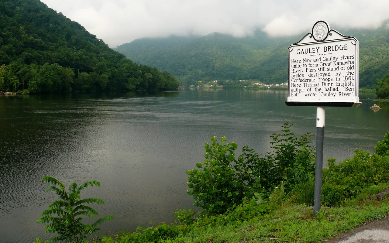
From Fayetteville the Federals fell back through Gauley Bridge and down the Kanawha toward Charleston, fighting rearguard actions along the way. By the middle of September, Loring's Confederates had occupied Charleston itself. For about three weeks, the Confederate flag flew over the future state capital. But the position was untenable. Loring's lines of supply ran back through hundreds of miles of mountains. When Union reinforcements began moving back into the valley under Cox in late October, the Confederates withdrew toward the Virginia border without serious resistance. By early November the Federals were back. The Kanawha Valley campaign of 1862 ended as it had begun - with the Union holding the territory that would, the following summer, become the state of West Virginia.
What the Ground Remembers
Fayetteville today is a small mountain town better known to most visitors as the gateway to the New River Gorge, BASE jumping at the bridge, and the rafting season. The earthworks the Union built around the town are gone or buried; the streets that once held Confederate troops are lined now with cafes and outfitters. But a historical marker on US Route 19, posted by the West Virginia Department of Arts, Culture and History, still names what happened here. A pencil-and-ink drawing of Fayetteville from April 1863, held by West Virginia University's regional history center, shows the town just months after the fight - low buildings, fields, the shape of the plateau on which the battle was decided. The list of West Virginia Civil War battles maintained by the National Park Service places this one among the actions that determined who would carry the war's first winter in these mountains.
From the Air
The battlefield centered on Fayetteville at 38.05 N, 81.11 W, on the plateau just north of the New River Gorge in Fayette County, West Virginia. Recommended viewing altitude is 2,500 to 4,500 feet AGL. The town is now framed by US Route 19 and is identifiable from the air by the New River Gorge Bridge a few miles south. Nearest airports are Raleigh County Memorial (KBKW) in Beckley about 18 miles south-southwest and Yeager (KCRW) in Charleston about 40 miles northwest.
Nearby Stories
- West Virginia State Capitol 4.7 km away
- Greenbrier County, West Virginia 13 km away
- Beckley, West Virginia 13 km away
- Clay, West Virginia 16 km away
- The Greenbrier 18 km away
- Webster Sycamore 26 km away
- Kanawha State Forest 26 km away
- Welch, West Virginia 40 km away