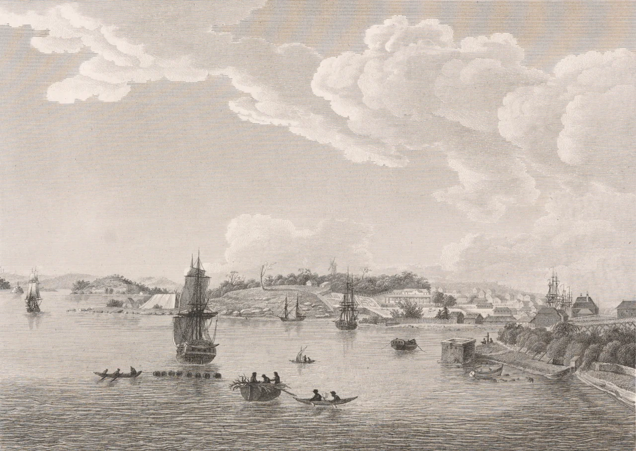

Baudin expedition to Australia
Two nations were at war, and their ships met by chance on an empty southern coast. On 8 April 1802, in the waters off what is now South Australia, the British sloop Investigator and the French corvette Géographe drew alongside each other. Both captains were charting the same unknown shore. Both could have treated the other as an enemy. Instead the Frenchman, Nicolas Baudin, raised a white flag and invited Matthew Flinders aboard. Over the following days the two rivals shared their charts and their breakfast, compared what each had learned, and agreed on a momentous point of geography: New Holland was a single continent, not two landmasses split by an inland sea. Neither man knew that, weeks earlier, their countries had signed a peace. Flinders later named the spot Encounter Bay, and it stands as one of the most civil moments in the age of exploration.
A Voyage Ordered by Napoleon
The expedition began with the blessing of the most powerful man in France. In March 1800, Napoleon Bonaparte, then First Consul, received Baudin and a delegation of scientists and approved a voyage "to the coasts of New Holland" for the express purpose of geography and natural history. It was, on its face, a mission of pure science. Two ships sailed from Le Havre that October: Géographe under Baudin and Naturaliste under Jacques Hamelin, carrying an unusually large company of zoologists, botanists, gardeners, and artists, among them the young naturalist François Péron and the artist Charles-Alexandre Lesueur. The ambition was openly competitive. The French meant to match, and if possible surpass, the achievements of Captain Cook.
Hardship on the Far Coasts
Science came at a punishing price. Delays in Mauritius meant the ships did not reach the Western Australian coast until May 1801, and at Geographe Bay they lost a longboat and a sailor, Timothée Vasse, whose name still marks the country there. Sailing north, the two ships became separated and did not reunite until Timor. Dysentery and fever raged through the crews. They pressed on regardless, charting the entire east coast of Tasmania and conducting careful, respectful studies of the Indigenous Tasmanians, with whom they kept peaceful relations and whose lives they recorded in ethnographic detail that historians still value. Of the twenty-four scientists and artists who set out, illness forced ten ashore in Mauritius before Australia was even reached, and five more died along the way. Only six of the original scientific company would ever see France again.
The Frenchman on Kangaroo Island
At Encounter Bay, Flinders told Baudin about his recent discoveries, including a large island offshore where the crews could find fresh food. The French explored that coast in turn, and Baudin's expedition became the first to circumnavigate and chart much of Kangaroo Island, which is why so many of its capes and bays still carry French names today. In 1803, members of the Géographe came ashore at what is now Penneshaw and carved an inscription into a rock: an expedition of discovery by Captain Baudin. To save it from the weather, the original stone now sits in a visitor centre, while a replica rests on the foreshore beneath a small concrete dome that has been a local landmark since 1906.
Spies, Specimens, and a Lonely Death
The voyage carried a shadow purpose. Researchers from the University of Adelaide have found that, during the expedition, Baudin drew up a report for Napoleon on how the British colony at Sydney Cove might be invaded and seized, and the French openly noted the town's defences and the discontent of its Irish convicts. Whatever its secret ambitions, the expedition's scientific haul was staggering: more than 2,500 species new to European science, over 200,000 specimens deposited in the museums and gardens of Paris, and live plants and animals sent to Empress Josephine's gardens at Malmaison. Baudin himself never enjoyed the acclaim. Worn down by the journey, he died of tuberculosis in Mauritius on 16 September 1803, and the ships reached France the following March without him.
The Map That Outlived the Man
History was not kind to Baudin's memory, and his crews were partly to blame. François Péron and Louis de Freycinet, who lived to write up the voyage, gave their late commander little credit. When Freycinet published the expedition's great chart in 1811, it was the first printed map to show the complete outline of Australia, an achievement built on Baudin's leadership yet stamped with another man's name. The French had also slapped the label Terre Napoléon across much of the southern coast. Those names faded; Flinders' did not. But the science endured, and the encounter endured, and the strange, generous truce between two enemies on a wild coast remains the voyage's finest legacy.
From the Air
The expedition's defining moment unfolded at Encounter Bay, near 35.6 degrees south, 138.6 degrees east, on the South Australian coast southeast of Adelaide, while the Kangaroo Island landfall at Penneshaw lies west of there around 35.7 degrees south, 137.9 degrees east. The broader voyage traced almost the entire Australian coastline. For the South Australian heart of the story, the nearest major airport is Adelaide (YPAD), with the Fleurieu Peninsula, the mouth of the Murray, and the long sandspit of the Coorong as the principal coastal landmarks. Kangaroo Island's Kingscote Airport (YKSC) serves the island leg. Expect strong Southern Ocean winds and changeable visibility along this exposed southern coast.
Nearby Stories
- Kangaroo Island 18 km away
- The Beaumont Children 141 km away
- Adelaide Gaol 193 km away
- Coorong National Park 220 km away
- Waterloo Bay Massacre 231 km away
- Elliston 259 km away
- Avenue Range Station massacre 329 km away
- Chatham Islands 4086 km away