
Elliston
The cliffs at Elliston do two kinds of work. Today they carry a sculpture trail, a leafy seadragon, a sea eagle feeding its young, a great pale face of the goddess Mara, scattered along a clifftop loop above some of the most dazzling coastline in South Australia. But these same limestone cliffs above Waterloo Bay hold a far heavier memory. In May 1849, Aboriginal people were driven to their edges and killed here, in violence that the district spent generations denying. The art and the history are not separate. One of those sculptures was placed precisely to help heal the sorrows of the other.
The First People of Waterloo Bay
Long before there was a town, this was the country of the Nauo people, with the Wirangu and Kokatha among the peoples of the wider west coast. They lived along this shoreline, its reefs and seagrass beds and sheltered bay, for countless generations. When Matthew Flinders sailed past from 10 to 13 February 1802, he named the offshore islands but did not even note the existence of Waterloo Bay in his log. The land that would become Elliston already had keepers, and a history, that the charts of passing Europeans simply did not record.
Waterloo Bay, 1849
In the late 1840s, conflict between settlers and Aboriginal people along this coast escalated into bloodshed. In May 1849, after stores were taken and station hands threatened, a pastoralist and his men pursued a fleeing group of Aboriginal people to the cliffs of Waterloo Bay, where some tried to climb down to escape. What happened there became known as the Waterloo Bay Massacre. The archival records are thin and contested: they document a small number killed, while accounts of far greater loss, of people forced over the cliffs, have circulated since the 1880s, and recent scholarship judges the true toll likely to run into the tens. For more than a century, many locals insisted the massacre never happened at all.
A Memory Reclaimed
Silence is its own kind of harm, and breaking it took decades of effort, much of it led by Wirangu people who refused to let the dead be forgotten. The reckoning finally came through art and acknowledgement. When the council developed a coastal walking trail along the very cliffs where the killings occurred, the goddess sculpture Mara, a figure of mother earth, was set among the works to help carry the grief of the past. In 2017 the Elliston District Council erected a memorial naming what had happened. It was a small town choosing, at last, to remember rather than deny, the descendants of those who suffered finally seeing their loss recognised in the open.
How the Town Got Its Name
Elliston's own name carries a quieter story. The settlement began as Waterloo Bay before Governor Sir William Jervois formally gazetted it in 1878. He named it not for a battlefield hero but for Ellen Liston, a London-born writer and educator who came to South Australia as a girl and worked as a governess at the nearby Nilkerloo station. Liston was widely respected across the district, and Jervois, who liked to name places after people he knew, honoured her, though some later commentators, dismissive of a woman's standing, preferred to credit a Battle of Waterloo soldier instead. The town had already been fondly calling itself Ellie's Town. The name stuck because the affection was real.
A Working Coast
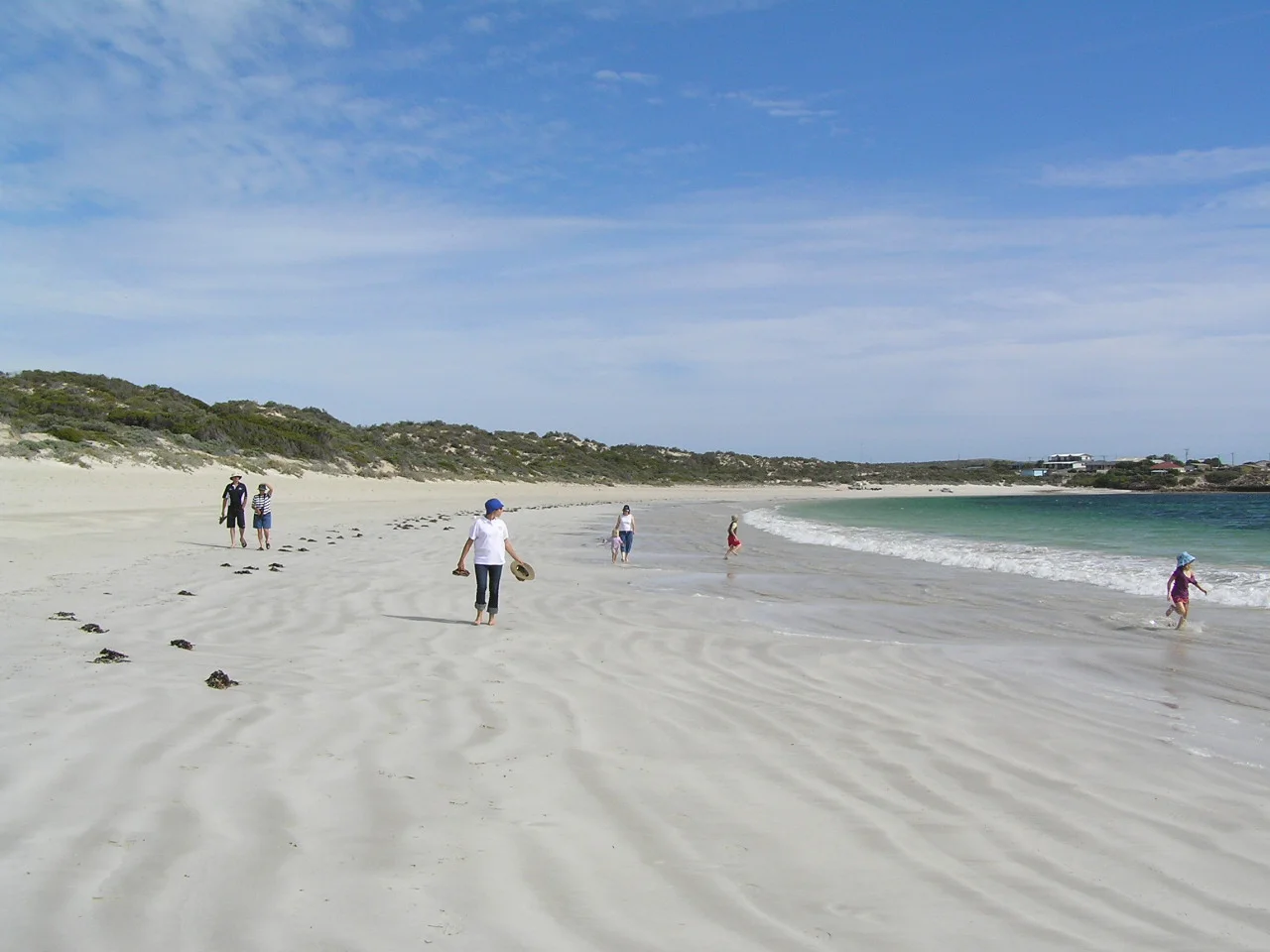
For all its history, Elliston is a living town of around 330 people, perched behind a bay shaped like a wine glass. Its narrow, reef-guarded entrance once wrecked sailing ships carrying wool and wheat to market; today the calm inner waters draw swimmers and anglers, while abalone divers and lobster boats work the coast beyond. Barley and sheep cover the flat farmland inland. The town hall holds a mural of more than 500 square metres, said to be the largest of its kind in Australia, depicting the life of the district. Beyond the breakwater, surf beaches like Lock's Well promise salmon and the occasional shark, and 32 kilometres offshore, Flinders Island rides the horizon.
From the Air
Elliston sits at 33.65 degrees south, 134.88 degrees east, on Waterloo Bay on the western coast of Eyre Peninsula, South Australia, 169 km northwest of Port Lincoln and 641 km west of Adelaide. The distinctive wine-glass shape of Waterloo Bay, its narrow reefed entrance opening to a broad calm basin, is the key landmark from the air, with the clifftop coastal trail running along the headlands to the south and Flinders Island visible roughly 32 km offshore to the west-southwest. Elliston Airport (ICAO YELN) lies adjacent to the town; Port Lincoln Airport (YPLC) is the nearest larger field to the southeast, with Ceduna Airport (YCDU) to the north. A viewing altitude of 2,000 to 4,000 feet shows the bay, township, jetty, and cliff line. The region has a warm-summer Mediterranean climate; Southern Ocean breezes usually keep visibility clear, though northerly outback winds can bring summer haze and heat.
Nearby Stories
- Ward Islands 9.2 km away
- Talia Station 11 km away
- Point Labatt 28 km away
- Acraman Impact Structure 154 km away
- Baudin expedition to Australia 237 km away
- Port Augusta 260 km away
- Kangaroo Island 307 km away
- Chatham Islands 4339 km away