.jpg)
Port Augusta
Look at a map of southern Australia and your eye keeps returning to one point. The roads to Perth, to Darwin, to Adelaide, and onward to Sydney all bend toward it; the great transcontinental railways meet there too. That point is Port Augusta, perched at the very head of Spencer Gulf, where the sea pokes a long blue finger into the desert and forces every traveller crossing the continent to thread the same needle. They call it the Crossroads of Australia, and for once the nickname is simple geography: there is almost no way around it.
The Needle's Eye
Spencer Gulf is the reason the town exists and the reason it matters. The gulf reaches so far inland that it becomes a wall - a natural barrier that road and rail must skirt around the top of, and the top of the gulf is Port Augusta. From here the Stuart Highway runs north some 2,700 kilometres to Darwin; the Eyre Highway strikes west across the Nullarbor toward Perth; the Augusta Highway drops south to Adelaide. Virtually all road traffic crossing southern Australia passes through this one town. It is a place defined less by what it is than by what it connects - the hinge on which the whole continent's movement turns.
Goordnada
Long before the highways, this was Country. Port Augusta sits on the lands of Aboriginal peoples whose connection here runs back thousands of years, in a region where the local language is Barngarla; its name in that tongue is Goordnada. That the name survives at all is something close to a resurrection. The last fluent speaker of Barngarla died in 1964, and the language might have been lost entirely - except that in the 1840s a German Lutheran pastor, Clamor Wilhelm Schuermann, had compiled a dictionary of some 3,500 words. From that single document, a determined revival has brought Barngarla back into mouths and classrooms. More than a fifth of Port Augusta's residents are Aboriginal or Torres Strait Islander, and the town even has its own Aboriginal-owned community radio station, Umeewarra.
Rails Across a Continent
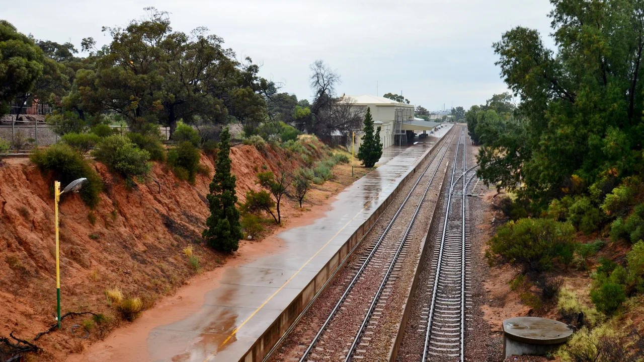
The trains made Port Augusta a legend of Australian engineering. In 1878 it became the southern end of an audacious dream - a railway aimed at Darwin, 2,500 kilometres away through the dead centre of the country. Between 1912 and 1917, crews drove a second line, the Trans-Australian Railway, two thousand kilometres west toward Kalgoorlie across some of the emptiest land on the planet. Because the two lines used different gauges, Port Augusta became a famous 'break of gauge', where passengers and freight had to change trains entirely. Today the town is a stop for two of the world's great rail journeys, the Indian Pacific and The Ghan, and the heritage Pichi Richi Railway carries visitors up through its mountain pass on restored vintage trains.
From Coal to Sun
For most of a century, Port Augusta ran on coal. Two power stations burned brown coal hauled down from Leigh Creek, generating a third of South Australia's electricity - and more than half its power-sector carbon emissions. Then, in May 2016, the last of them went dark, ending coal-fired generation in the state and throwing the town's identity into question. Port Augusta chose to bet on the sky that had always blazed over it. A grid-scale solar farm, Bungala, rose to the north; nearby, Sundrop Farms built an extraordinary facility where a field of mirrors focuses sunlight on a 127-metre tower to desalinate seawater and grow tomatoes in the desert. Not every plan succeeded - an ambitious solar-thermal tower called Aurora was cancelled in 2019 before construction - but the direction was set. A coal town was reinventing itself in the light.
Gateway to the Outback
For travellers, Port Augusta is the threshold. North and east rise the Flinders Ranges, ancient ochre mountains that draw a steady stream of visitors, and the town has built itself into the launching point for outback journeys. The Wadlata Outback Centre introduces newcomers to the harsh country ahead, while the Australian Arid Lands Botanic Garden, spread across more than 250 hectares north of town, showcases desert plants against a backdrop of saltbush plains running to the Flinders escarpment. To stand in those gardens at dusk, watching the ranges turn red, is to understand what Port Augusta really offers: not a destination so much as a doorway to the vast, dry heart of the continent.
From the Air
Port Augusta sits at the head of Spencer Gulf at roughly 32.49 degrees south, 137.77 degrees east, where the gulf's northern tip meets the desert. From the air the layout is unmistakable: the blue wedge of upper Spencer Gulf driving into arid land, the city straddling both shores with the bulk of it on the eastern side and Port Augusta West across the water on the Eyre Peninsula. The converging highways and railways radiate outward like spokes, and the Flinders Ranges rise to the north-east. Port Augusta Airport (ICAO: YPAG) lies about 6 kilometres west of the city, handling fly-in fly-out traffic for the region's mines; Whyalla (YWHA) sits down the gulf to the south, and Adelaide (YPAD) is roughly 300 kilometres south. The hot desert climate brings frequent clear skies and long visibility, though summer heat can be extreme - temperatures here have reached 50 degrees Celsius.
Nearby Stories
- Wilpena Pound 78 km away
- Redruth Gaol 129 km away
- Australian Cornish Mining Sites 156 km away
- Acraman Impact Structure 157 km away
- Nilpena Ediacara National Park 159 km away
- Poochera, South Australia 213 km away
- Olympic Dam mine 222 km away
- Barossa Valley 238 km away