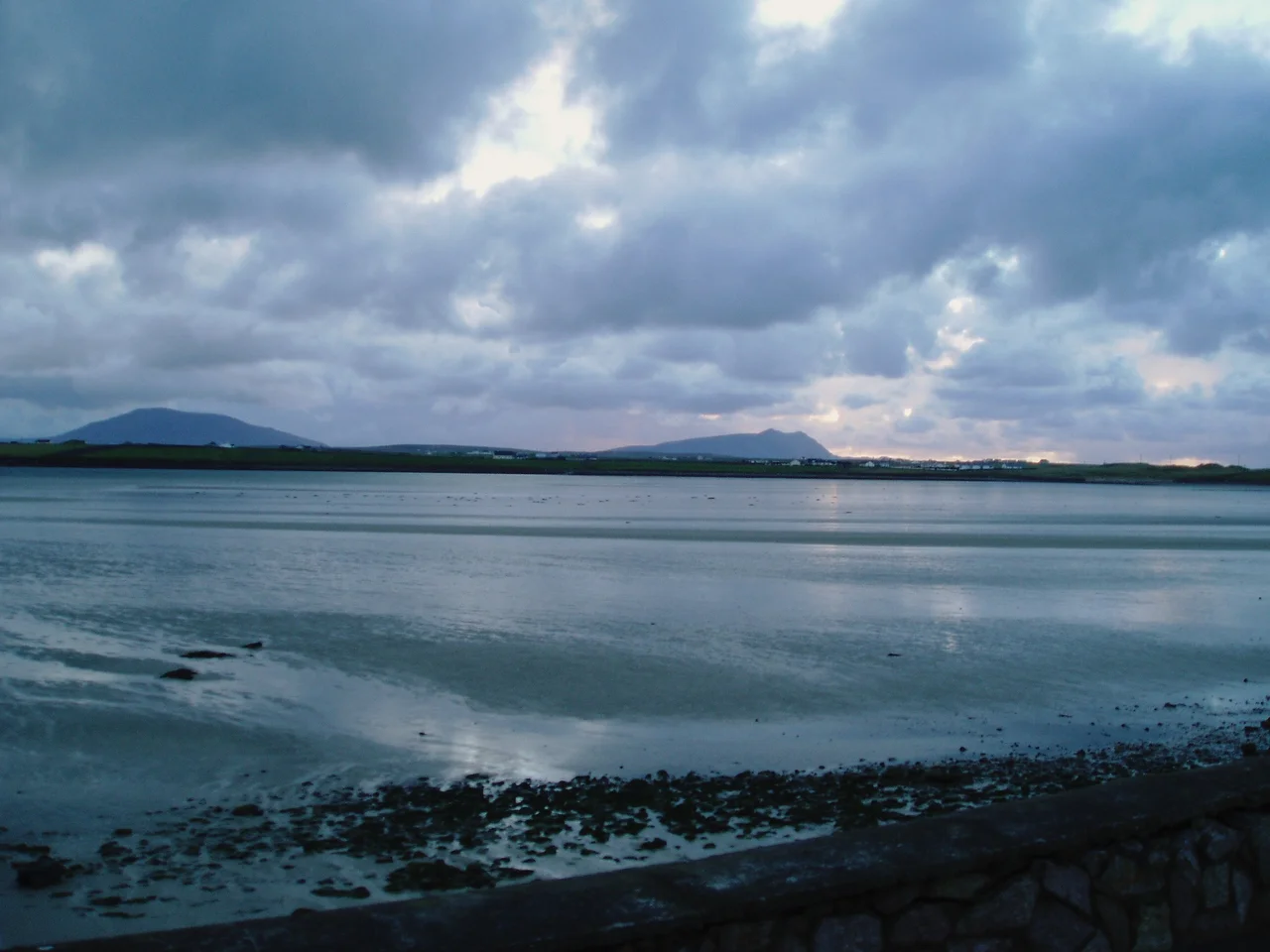

Blacksod Bay
If you sailed up to the Mullet Peninsula in 1588 with the wreckage of the Spanish Armada scattering behind you, Blacksod Bay would have looked like salvation - a deep, wide anchorage tucked behind a long granite-armoured peninsula, sixteen kilometres long and eight wide, opening to the Atlantic only at its southern mouth. The Spanish did not all reach it; many died on the rocks of the surrounding coast. But the bay's reputation as a safe harbour in a brutal coastline was already established. Three and a half centuries later, that same bay - and a weather report sent from its lighthouse at dawn on 3 June 1944 - would help General Dwight D. Eisenhower decide when to launch the largest seaborne invasion in history.
A Bay Built by Tectonics
Blacksod Bay is a geological accident worth pausing over. The Mullet Peninsula is a long arm of ancient gneiss and schist - some of the oldest rock in Ireland, formed deep in the earth's crust over a billion years ago. At its southern tip, an outcrop of high-quality granite from Termon Hill rises above the rest. The bay itself is shallow at its head and deep at its mouth, dotted with small islets, opening to the wide blue Atlantic. At the northern end an 18th-century canal cut through Belmullet connects Blacksod Bay to Broadhaven Bay on the other side, turning the Mullet Peninsula into a near-island and offering inshore vessels a sheltered shortcut around storms.
Three Lighthouses
Three lighthouses watch over Blacksod Bay and its approaches. Blacksod Lighthouse - one of only two truly square lighthouses in Ireland - was completed in 1866 from granite cut at Termon Hill and occupies the bay's southern entrance. Twelve miles offshore, Blackrock Lighthouse stands on a stark sea-stack accessible only by helicopter; its automated light still warns ships off one of the most treacherous outer reefs on Ireland's west coast. Eagle Island Lighthouse marks the northwest tip of the Mullet Peninsula, where Atlantic swells regularly hurl water over a tower a hundred feet above sea level. Together, the three lighthouses define the geometry of safe passage into Blacksod Bay.
The Forecast That Delayed D-Day
In the early hours of 3 June 1944, Maureen Flavin Sweeney - 21 years old and the postmistress at the Blacksod Lighthouse - logged a routine weather observation: falling barometer, force 6 winds rising. Her readings were telegraphed to Dublin, then to London, then to General Eisenhower's meteorologists at Allied Headquarters. Ireland was officially neutral in the war, but had quietly agreed to continue supplying weather data to Britain. Eisenhower had already chosen 5 June 1944 as the date for the Normandy landings. The Blacksod report - the first signal of a worsening Atlantic front moving east - was the key piece of evidence that convinced him to postpone. D-Day was pushed to 6 June. The brief weather window that opened on the 6th saved the invasion; had Allied troops landed in the storm of the 5th, the operation might well have failed. Maureen Sweeney lived to 100, dying on 17 December 2023, and was honoured by the United States Congress for the report she had taken at dawn as a young woman in a lighthouse on the western edge of Europe.
What the Bay Holds Now
Today Blacksod Bay supports a quieter rhythm. Boat trips leave from Blacksod village in summer for the Inishkea Islands, the deserted whaling station of Inishglora where the Children of Lir are said to be buried, and the Duvillaun group further out. Elly Bay on the bay's western shore is one of Ireland's premier surfing and kiteboarding beaches, home to Coláiste Uisce - an adventure school teaching watersports through the Irish language to children from across the country. Bus Éireann route 446 runs once a day each direction, connecting the bay's villages to Belmullet, Ballina, and the wider world. The bay is now a Ramsar wetland of international importance, its fringing salt marshes a major refuge for migrating wildfowl.
From the Air
54.08N, 10.02W. Blacksod Bay is one of the most distinctive features of Ireland's west coast from the air - a large, sheltered body of water 16 km long, bounded on the west by the Mullet Peninsula's narrow strip and on the east by the Erris mainland. The white tower of Blacksod Lighthouse is visible at the southwestern entrance. Best viewed at 3,000-6,000 ft to appreciate the full shape of the bay. Ireland West Airport Knock (EIKN) is approximately 85 km east-southeast; Sligo Airport (EISG) about 95 km northeast. Atlantic weather here changes fast - expect strong southwesterlies and frequent low cloud.
Nearby Stories
- Aughagower 3.4 km away
- Caher Island 8 km away
- Enaghbeg 10 km away
- Action of 7 May 1794 21 km away
- Lissadell House 59 km away
- RMS Carinthia (1925) 64 km away
- Glencolmcille 95 km away
- Inishtooskert 214 km away