The Forest That Keeps Starting Over
In December 1949, the California Division of Forestry paid $38,000 for 3,432 acres of mountain land that nobody else wanted. The price was low because there was almost nothing left to buy. The Setzer Forest Products Company had clear-cut the slopes of Boggs Mountain down to stumps, and the Calso Company was happy to unload the acreage for $20,600 - roughly six dollars an acre for volcanic soil and scrub. The state's plan was unusual for the era: rather than exploit whatever timber remained, they would demonstrate that a ruined forest could be brought back. For sixty-five years, that experiment worked. Then the Valley Fire arrived.
Volcanic Bones, Living Skin
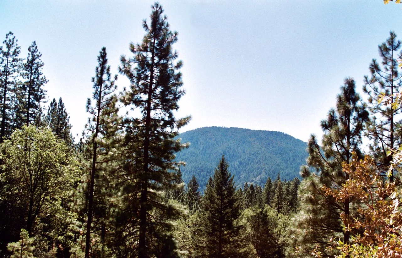
Boggs Mountain sits at the southeastern end of the Clear Lake Volcanic Field, a rolling highland that levels out around 3,000 feet above sea level. Long spurs run southeast toward Putah Creek, and the upper slopes flatten into a plateau cut by drainage channels. Volcanic rock breaks through the surface across most of the forest. The town of Cobb lies nearby, roughly halfway between Clear Lake and Calistoga, about ten miles north of Middletown on Highway 175. Below the tree line, the dominant vegetation is chaparral - manzanita thickets so dense they form walls. Higher up, a mixed forest of Douglas fir, ponderosa pine, and sugar pine once shaded the plateau, with incense cedar, MacNab cypress, canyon live oak, black oak, and madrone filling the gaps. The word to note is 'once.' That canopy took decades to rebuild after the 1949 clear-cut, and it would take only hours to lose again.
Sixty-Five Years of Patient Work
The early years were slow. The state mapped and inventoried what little remained but harvested nothing. Cliff Fago became the forest's first permanent manager in 1965 and completed a full inventory. Between 1966 and 1976, the last remnants of old-growth timber were selectively removed. What replaced them was a managed all-age forest - an ecosystem designed to sustain itself while yielding timber in carefully calibrated harvests. The forest became a working laboratory. Researchers tracked bark beetle mortality in ponderosa pine and found that over seventy percent of beetle-infested trees also had root diseases, though few trees with root diseases alone died until the beetles arrived. Horses were used to skid logs in some harvests, minimizing soil damage while scientists studied how different extraction methods affected root disease spread. In 1972, Cal Fire established a helicopter base on the mountain for fire and rescue operations, providing coverage from Mendocino National Forest to the north down to the San Francisco Bay Area.
October 2015
The Valley Fire ignited on September 12, 2015, near the community of Cobb and burned through 76,067 acres before it was contained. When it reached Boggs Mountain, the results were catastrophic. Eighty percent of the mature trees on the mountain were killed. Ninety-five percent of the regeneration growth in the understory - the young trees that represented the forest's future - was destroyed. Sixty-five years of careful restoration burned in a single fire season. Cal Fire's response was systematic: thousands of dead trees were logged, those with lumber value were sold, and the rest were piled for burning when conditions allowed. But the mountain was not entirely dead. Natural regeneration began almost immediately. Bracken fern pushed through the ash. Coffeeberry, wild rose, and yerba buena reappeared. Madrone and dogwood sent up new shoots from surviving root systems. And, less welcome, invasive Scotch broom moved in to colonize the open ground.
Seven Hundred Thousand Seedlings
By March 2017, crews had planted approximately 312,000 eight-inch seedlings of Douglas fir, ponderosa pine, and sugar pine across the burned slopes, spacing them at thirteen-foot intervals. That was roughly one third of the planned reforestation. It would take a decade before those seedlings reached ten feet in height. In the end, Cal Fire planted nearly 703,000 tree seedlings across 3,100 acres, including ponderosa pine, Douglas fir, sugar pine, incense cedar, and - in an optimistic gesture toward a changing climate - giant sequoia. The reforestation plan represents one of the largest state-led replanting efforts in California's history. For mountain bikers and hikers who knew the forest's single-track trails winding through shaded woods at 3,000 feet, the landscape is unrecognizable. The 14.8-kilometer Boggs Mountain Loop, rated moderate with 439 meters of elevation gain, now passes through open terrain where meadows and young growth replace the canopy that once enclosed the trail.
The Demonstration Continues
The word 'demonstration' in the forest's name was never decorative. Boggs Mountain was purchased to prove a point: that a devastated forest could be restored through scientific management. Between 1952 and 2005, researchers measured ten permanent plots at five-year intervals, mapping every tree above eleven inches in diameter. They studied disease control, fertilization techniques, and the interplay between bark beetles and root pathogens. One experiment in 1998 even tested how forest fires affect obsidian hydration bands - relevant because the volcanic soil here produces obsidian, and archaeologists use hydration dating to age artifacts. That experiment found that fire severity matters more than intensity in damaging the bands. The irony of the Valley Fire is that it turned the demonstration into its most dramatic chapter yet. The forest has been clear-cut and burned, managed and studied, destroyed and replanted. Each cycle adds data. Each recovery teaches something new about how forests heal - and how long healing takes.
From the Air
Located at approximately 38.83N, 122.69W in Lake County, California, on the volcanic highlands of Boggs Mountain at the southeast end of the Clear Lake Volcanic Field. The forest covers nearly 3,500 acres of gently rolling terrain at around 3,000 feet elevation. Visible from the air as a patchwork of young regrowth and cleared areas following the 2015 Valley Fire. Clear Lake is visible to the north, Calistoga and the Napa Valley to the south. Nearest airports: Lampson Field (1O2) near Lakeport approximately 12 nm north; Angwin-Parrett Field (2O3) approximately 18 nm south. Cal Fire maintains a helicopter base on the mountain. Summer haze and wildfire smoke common in fire season.
Nearby Stories
- The Park That Saved Itself 6.5 km away
- Jenner Headlands Preserve 8 km away
- The Pawnee Fire 8.4 km away
- The Day Two Nuclear Bombs Fell on Yuba City 14 km away
- Engine Number 5 and the Tunnel That Kept Its Secret 14 km away
- Dharma Realm Buddhist University: Where Plato Meets the Lotus Sutra 16 km away
- Griffith Mansion 16 km away
- Austin Creek State Recreation Area 22 km away