
Border Region
Drive across the Republic of Ireland from the south, and at some point you will notice that the motorway has stopped. It does not start again. The Border Region — five counties strung along the partition line with Northern Ireland — is the only one of Ireland's eight NUTS Level III statistical regions with no access at all to the national motorway network. The M3 reaches as far as Kells in County Meath and then quietly hands you off to the N3, which carries traffic the remaining distance to Cavan and on towards the border. This is a region that has been administratively orphaned in slow motion, again and again, for the better part of a century.
The Five Counties
The Border Region (coded IE041 in EU statistical shorthand) comprises Cavan, Donegal, Leitrim, Monaghan and Sligo. It covers 11,516 square kilometres — about 16.4% of the area of the Republic — and holds 419,473 people, just over 8% of the state's population. It is not a cross-border region; the name refers only to its position along the Irish frontier with Northern Ireland, not to any administrative connection with the North. Until 2014 it included County Louth as well, and Louth represented nearly a quarter of the regional population and contained its two largest towns, Dundalk and Drogheda. When Louth was reassigned to the Eastern and Midland Region — to recognise its real economic gravity along the Dublin–Belfast corridor — the Border Region lost its most prosperous county overnight, lost its access to the Irish Sea, and shrank in significance accordingly. The town closest to Dublin in the new, smaller Border Region is Virginia in County Cavan, 85 kilometres from the capital.
Rivers, Lakes, and a Drumlin Belt
Two of Ireland's longest rivers begin in this region. The Shannon — at 386 kilometres the longest river in Ireland — rises at the famous Shannon Pot on the slopes of Cuilcagh mountain in County Cavan, a small, deep basin where the water bubbles up out of the limestone. The Erne rises a few kilometres away at Slieve Glah, also in Cavan, and flows north into the Erne lakes complex and eventually out to the Atlantic at Ballyshannon. The two have been connected since 1993 by the restored Shannon-Erne Waterway, one of the longest navigable inland waterways in Europe. Cavan and Monaghan in the east of the region are drumlin country — soft glacial hills with hundreds of small loughs between them. The western half, from Cavan's Tullyhaw barony to the Atlantic, is rocky and mountainous. Donegal alone has 1,134 kilometres of coastline, the longest of any Irish county; Leitrim has 5, the shortest.
The Oldest Rocks in Ireland
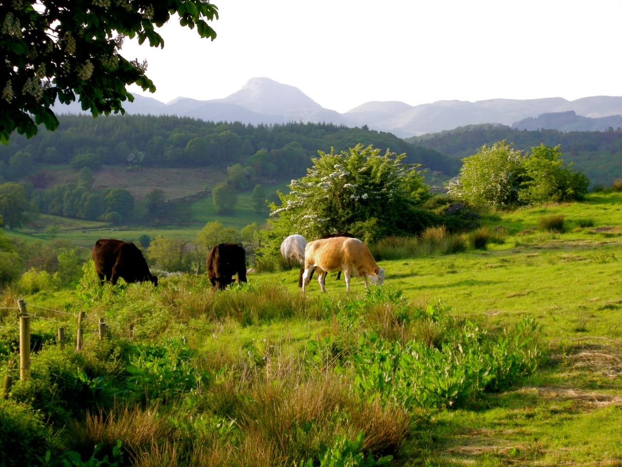
Donegal's geology is among the most complex in the country — Precambrian gneiss, schist and quartzite laid down 700 million years ago during the Grenvillian Orogeny. The Border Region's highest point, Mount Errigal at 751 metres, is made of Precambrian quartzite, and on a clear evening its bare conical peak catches the last light in colours that have given it its reputation as one of Ireland's most photogenic mountains. Ten kilometres north of Malin Head, Ireland's most northerly mainland point, sits the small island of Inishtrahull — where the oldest rocks in Ireland have been dated to 1.78 billion years old. Lough Swilly in Donegal is one of only three glacial fjords on the island. In 2017 National Geographic named Donegal "the coolest place on the planet" for travel, on the strength of exactly this kind of landscape.
The Brexit Region
Economically, the Border Region has had a hard half-century. The 2008 crash hit it harder than most: regional GDP per capita peaked in 2007 at €30,697 and fell to €19,957 by 2014, a drop of more than a third. Agriculture earns the region €396 million a year, but government subsidies make up 68% of that figure. A European Committee of the Regions study found that Ireland's border counties were the most exposed in Europe to the economic effects of Brexit — 33% of Border Region exports go to the UK, compared to a national figure of 18%. Cross-border trade was the lifeblood of the area before partition created an arbitrary economic frontier through it in 1922. Brexit's reimposition of customs distinctions has reopened wounds the region has been managing for a hundred years. Tourism, services, manufacturing, and fishing — about 65% of Ireland's commercial fish landings happen in Donegal — make up the rest of the economy.
No Motorway, Few Railways
The Border Region's transport infrastructure tells the story of a century of underinvestment. Iarnród Éireann runs a Dublin–Sligo railway line that serves part of the region; everything else has been progressively closed. The Sligo, Leitrim and Northern Counties Railway shut in 1957. The Donegal Railway Company, once the operator of an extensive narrow-gauge network across Donegal, has had no mainline services since the Great Northern Railway closed its East Donegal line in 1965. Monaghan, like Donegal, has no operational railway lines at all. Donegal Airport at Carrickfinn handles around 45,000 passengers a year; everything else is small-scale. People in eastern Donegal more often fly out of City of Derry Airport across the border. The region's geographic remoteness has been compounded by transport policy that has long favoured the Dublin–Belfast corridor. The Border Region has the landscape, the lakes, the mountains and the heritage — what it has fought for, decade after decade, is the infrastructure to bring people to them.
From the Air
The Border Region centres at approximately 53.96°N, 7.36°W in southern County Cavan, with its five counties stretching from the Atlantic coast of Donegal in the northwest to the Monaghan border in the east. From cruise altitudes of 6,000–10,000 ft on a clear day, the full region is visible: the drumlin belt of Cavan and Monaghan with its hundreds of small loughs; the rougher upland country running west into Leitrim and Sligo; and Donegal's spectacular Atlantic coastline. The nearest controlled airspace varies by location: Dublin (EIDW) lies south, Belfast (EGAA) east, Knock (EIKN) and Ireland West Airport west, and Donegal Airport (EIDL) in the far northwest. Conditions can be highly variable — Donegal's mountains generate their own weather — so consult Met Éireann forecasts before flying.
Nearby Stories
- Clones, County Monaghan 4.7 km away
- Lough Rynn Castle 7.6 km away
- Cuilcagh 8.3 km away
- Dunsany Castle and Demesne 9.5 km away
- Edward Pakenham 12 km away
- County Louth 17 km away
- Kingsmill Massacre 17 km away
- Mount Temple, County Westmeath 21 km away