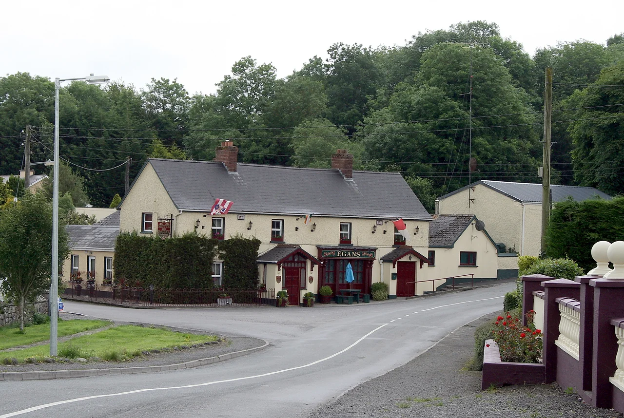

Mount Temple, County Westmeath
Elizabeth Temple rode her horse up the Norman motte one day in the early 1700s, and the village changed names. Before her, the place had been Ballyloughloe - lake of Luatha, a Gaelic queen said to have bled to death at the lakeside. Before the lake, there was the Garbh Esker, the rough ridge of glacial gravel that runs east toward Athlone, where the Normans had piled their motte-and-bailey in 1180. Before the Normans, the Magawleys had ruled here for a thousand years. Elizabeth's horse and her surname stuck. The lake, the queen, the esker, and the clans are still there, just under the layers.
The Clan That Would Not Leave
When Niall of the Nine Hostages conquered south Westmeath around AD 400, he gave a slice of it to his son Maine. Maine's descendants - the MacAmhalgaidhe, anglicized to Magawley - held it for the next twelve hundred years. They were the Lords of Carlee, inaugurated at a coronation site called Tullymagawley. When the Normans came in 1180 and built their motte, the Magawleys waited them out; by 1362 they had taken the land back. They built five castles, including the one at Ballyloughloe whose stones now lie under the Mount Temple Golf Club. Cromwell finally broke them. In 1656 the last chief, Henry Magawley, was marched west to Connacht with his wife Margaret and his mother Jane. Some of the family scattered into the Wild Geese, the Irish exiles who served Europe's Catholic monarchs. One of them, Philip Magawley, became Governor of Prague in 1740.
Saint Patrick's Curse
Local tradition says Patrick himself walked through here in the fifth century and was given a hostile reception. He fled to Annagh, then Ballykeeran, and reportedly placed a curse on the people of Caulry before he went. Saint Ciaran did better. He founded a church called Iseal Chiaran at nearby Baylin, and the Baylin High Cross, carved around AD 800, came out of that monastery. A Franciscan abbey and a nunnery of Saint Clare's order once stood in the townland of Monksland; Henry VIII swept them away with his dissolution of the monasteries in the sixteenth century. The stones did not vanish. They went into walls, into houses, into the road - the long Irish recycling of holiness into shelter.
A Spanish Church in a Westmeath Field
Corpus Christi Church, finished in 1932, sits in the village center looking like nothing else in the Irish midlands. The architects, T.F. McNamara and Sons of Dublin, modelled it on the Romanesque style of Saint Teresa's Church in Avila, Spain - half a continent away from a place where the local saint placed a curse and stayed. Pope Pius XI personally blessed the original plans. He sent the parish priest, Monsignor Langan, a mosaic crucifix and a jewelled monstrance for use at the altar. The marble altar rails were a gift from Count John McCormack, the tenor whose voice once filled concert halls from New York to Sydney. Cardinal Joseph MacRory blessed the building at its dedication in July 1933. For a tiny rural parish, the small village had assembled a remarkable set of patrons.
Living in Layers
Today Mount Temple is a quiet village, six and a half kilometers northwest of Moate, on roads that wind past stone walls and grazing fields. Caulry GAA, founded by Father Francis Skelly in 1928, still carries the ancient territorial name of the Magawleys into Gaelic football matches each weekend. Temple Villa plays association football in the summer light. The Mount Temple Golf Club, opened in 1991, has tee boxes scattered across the very ground where Magawley castles once stood. Officially the parish is still Ballyloughloe; locally, almost everyone calls it Mount Temple. The motte that Elizabeth Temple rode up is still there. So is the small lake where Queen Luatha is said to have bled. The names settle in time, but they do not leave.
From the Air
Mount Temple sits at 53.43N, 7.78W in the flat agricultural midlands of County Westmeath, six kilometers northwest of Moate and twelve kilometers east of Athlone. The Garbh Esker - a long, low glacial ridge - cuts west-to-east through the village, visible from cruising altitude as a green spine through cleared farmland. Dublin (EIDW) lies 80 km to the east; Shannon (EINN) is 110 km to the southwest. Athlone's small airfield is the nearest visual reference. In good visibility, the broad gleam of Lough Ree appears to the southwest, where the Shannon widens into a lake nearly thirty kilometers long.
Nearby Stories
- Saighir 7.8 km away
- Portlaoise 8.2 km away
- Castlepollard Mother & Baby Home 8.9 km away
- Mountbellew 14 km away
- St Mel's Cathedral 15 km away
- Castlerea 18 km away
- Mullingar 19 km away
- Gort 25 km away